Download
1 / 43
1.27k likes | 4.7k Vues
Life on Land. Chapter 2. Terrestrial Biomes. Biomes are distinguished primarily by their predominant plants and are associated with particular climates. Geographic and seasonal variations in temperature and precipitation are fundamental components.

E N D
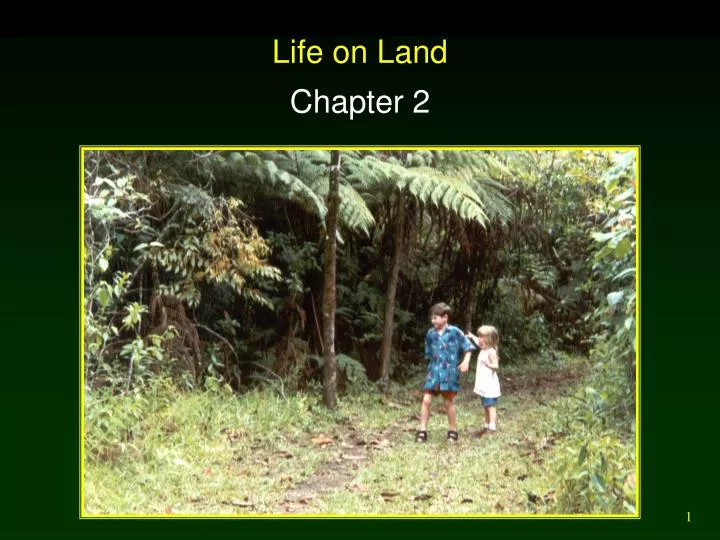
Life on Land Chapter 2
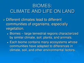
Terrestrial Biomes • Biomes are distinguished primarily by their predominant plants and are associated with particular climates. • Geographic and seasonal variations in temperature and precipitation are fundamental components. • Predominant plants share similar growth characteristics although species may vary. • Soil types of a biome are often similar due to similar climate and plant type influences.
Temperature, Atmospheric Circulation, and Precipitation • Spherical shape and tilt of earth’s axis cause uneven heating of earth’s surface. • Drives air circulation patterns and consequently precipitation patterns. • Warm, moist air rises. • Cools, condenses, and falls as rain. • Cooler, dry air falls back to surface. • Rainforests found near equator. • Major deserts found near 30o N / S.
Temperature, Atmospheric Circulation, and Precipitation • Coriolis effect causes apparent deflection of winds clockwise in the N hemisphere and counterclockwise in the S hemisphere.
Winter solstice Dec 22nd Vernal equinox Mar 22nd Summer solstice June 22nd Autumn equinox Sept 22nd Seasons due to tilt of the Earth and its annual orbit around the Sun.
Climate Diagrams • Mean annual temperature. • Mean annual precipitation.
Soil : Foundation of Terrestrial Biomes • Soil is a complex mixture of living and non-living material. • Development of soil: • Weathering (fracture and dissolution) of parent rocks and other minerals portions. • Organic matter deposition by roots and litter (leaves, twigs, logs). • Infiltration of water leaches material to deeper layers (horizons) in the soil profile. • Climate influences weathering processes.
Soil Horizons • O horizon: Organic Layer freshly fallen and decomposing organic material – the most obvious surface layer (humifications begins). • A horizon: Mixture of minerals, clay, silt, sand, mixed with humus (older dark organic matter – what makes dirt brown). • B horizon: Clay, humus, and other materials leached from A horizon - often contains plant roots. • C horizon: Weathered parent material.
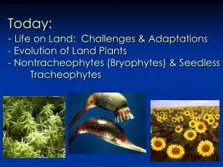
Terrestrial Biomes • Biomes are distinguished primarily by their predominant plants and are associated with particular climates. • Tropical Rainforests • Tropical Dry Forest • Tropical Savanna • Desert • Mediterranean Woodland and Shrubland • Temperate Grassland • Temperate Forest (Deciduous & Evergreen) • Boreal Forest (Tiaga) • Tundra
Tropical Rainforest • A broadleaf tropical forest growing in tropical regions where conditions are warm and wet year-round. • Vertical structure. • Epiphytes
Tropical Rainforests • Most occur within 10o latitude of equator. • Little temperature variation between months. • Annual rainfall of 2,000 - 4,000 mm relatively evenly distributed. • Soils low organic and nutrient poor. • Rain quickly leaches soil nutrients. • High decomposition and fast nutrient cycle. • Mycorrhizae help gather nutrients. • Harbor staple foods and medicines for world’s human populations - increasingly exploited.
Tropical Dry Forest • Mostly broadleaf forests in tropical regions with pronounced wet and dry seasons where trees drop their leaves during the dry season (“dry deciduous forest”). • Tropical dry coniferous forests are rare. http://www.cas.vanderbilt.edu/bioimages/ecoregions/nam-ecoregions-list.htm
Tropical Dry Forest • Usually located between 10o - 25o latitude. • Climate more seasonal than tropical rainforest (wet versus dry) • Soils generally richer in nutrients than rainforests, but vulnerable to erosion. • Shares many animal and plant species with tropical rainforests. • Heavily settled by humans with extensive clearing for agriculture.
Tropical Savanna • Tropical grassland with a few scattered trees; characterized by pronounced wet and dry seasons, with periodic fires.
Tropical Savanna • Most occur north and south of tropical dry forests within 10o - 20o of the equator. • Climate alternates between wet / dry seasons. • Drought associated with dry season leads to lightning-caused wildfires. • Soils have low water permeability. • Saturated soils in wet season inhibit trees. • Landscape is more two-dimensional with increasing pressure to produce livestock.
Desert • Arid lands occupying 20% of global land area, where evapotranspiration exceeds precipitation for most of the year. http://helios.bto.ed.ac.uk/bto/desertecology/creosot3.jpg
Desert • Major bands at 30o N and 30o S latitude. • Water loss usually exceeds precipitation. • Soil usually extremely low in organic matter (lithosols) and often with mineral deposits of calcium carbonate (caliches). • Plant cover ranges from sparse to absent. • Animal abundance low, but biodiversity may be high; many are nocturnal and burrowers. • Human intrusion increasing. • Rain shadow quiz.
Mediterranean Woodland and Shrubland • Mild and moist winters and dry hot summers, between 30º and 40º latitude, vegetation is short with small, tough leaves, adapted to periodic fires, found in dry coastal regions (e.g. California chapparal). http://pix.botany.org/set01/01-110h_700.jpg
Mediterranean Woodland and Shrubland • Occur in all continents except Antarctica. • Climate cool and moist in fall, winter, and spring, but can be hot and dry in summer. • Fragile soils with moderate fertility. • Trees and shrubs typically evergreen. • Fire-resistant plants due to fire regime. • Long history of human intrusion. • Cleared for agriculture.
Temperate Grassland Midlatitude grasslands receiving 0.3 to 1.0 m rainfall per year, falling mostly during summers. http://taggart.glg.msu.edu/bs110/PRAIRIE.JPG
Temperate Grassland • Extremely widespread distribution. • Annual rainfall 300 - 1,000 mm. • Experience periodic droughts. • Soils tend extremely nutrient rich and deep. • Thoroughly dominated by herbaceous vegetation. • Large roaming ungulates. • Bison vs. cattle
Temperate Forests Coniferous or deciduous forests of 40º to 50º latitude with precipitation of 0.65 to 3.0 m per year, with more precipitation in winter than at temperate grasslands. http://nebraska.sierraclub.org/movalley/images/Hitchcock-Forest.jpg http://homepages.caverock.net.nz/~bj/beech/sustainable/Forest_floor2.jpg
Temperate Forest (Old Growth) • Majority lie between 40o and 50o latitude. • Rainfall averages 650 - 3,000 mm. • Fertile soils • Long growing seasons dominated by deciduous plants. • Short growing seasons dominated by conifers. • Biomass production can be very high. • Many major human population centers.
Boreal Forest (Taiga) Northern forest south of the arctic tundra, mostly containing conifers (spuce) and some aspen and birch. http://earthobservatory.nasa.gov/Study/BorealMigration/Images/boreal_forest_combined.jpg
Boreal Forest (Taiga) • Confined to Northern Hemisphere. • Covers 11% of earth’s land area. • Thin, acidic soils low in fertility. • Generally dominated by evergreen conifers. • Relatively high animal density. • Historically, low levels of human intrusion.
Tundra Northern most biome dominated by mosses, lichens, and dwarfed willows and birch, low to moderate precipitation and very short growing season. http://www.heritage.nf.ca/environment/images/tundra.jpg
Tundra • Covers most of lands north of Arctic Circle. • Climate typically cool and dry with short summers. • 200 - 600 mm precipitation. • Low decomposition rates. • Supports substantial numbers of native mammals. • Human intrusion historically low, but increasing as resources become scarce.
Mountains: Islands in the Sky • Built by geological processes and thus concentrated in belts of geological activity. • Climate changes with elevation and latitude. • Soils are generally well-drained and thin. • Flora and fauna change with elevation. • Rare or unique flora and fauna due to geographic isolation. • Historically used as a source of raw materials for human settlements.