Download
1 / 11
270 likes | 1.08k Vues
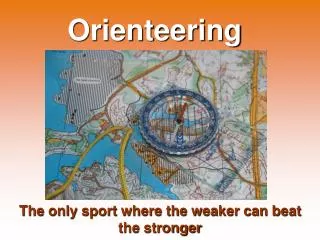
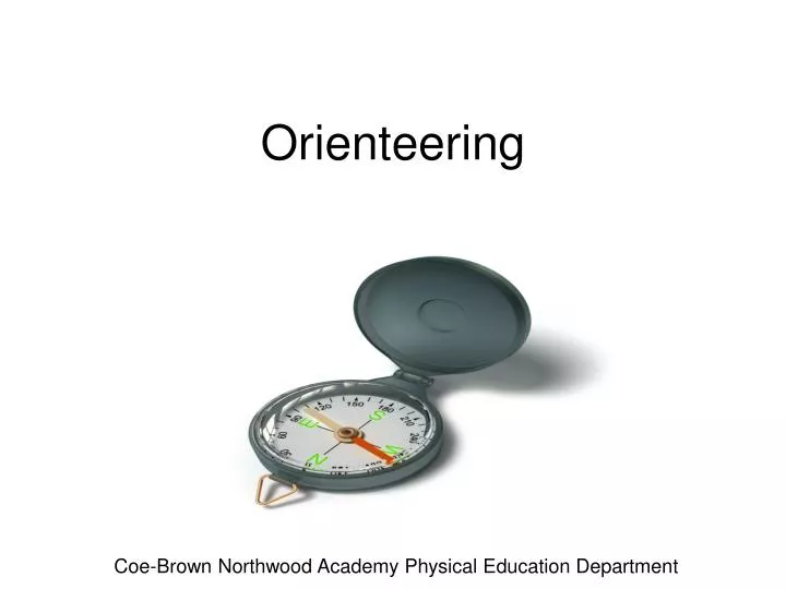
Orienteering. Coe-Brown Northwood Academy Physical Education Department. What is orienteering?

E N D
Orienteering Coe-Brown Northwood Academy Physical Education Department
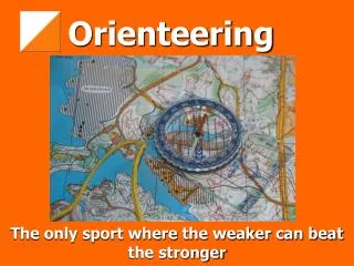
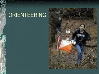
What is orienteering? Orienteering is an outdoor sport in which participants navigate routes between isolated control points using a compass and a map. The emphasis is on map-reading and direction finding skills. It is popular as both a recreational sport and a competitive sport. The sport has several forms. Some of these variations are: Cross-country orienteering with results judged on a time basis. Line orienteering of a set course with undisclosed control points. Success depends on accuracy. Route orienteering requires participants to mark their map correctly with the controls. Score orienteering has numerous controls set up, each allocated points according to difficulty. Participants score points by locating as many controls as they can in a given time. Regaining is a similar cross-country navigation event for teams. The classic Rogaine is a 24-hour event. This sport originated in Victoria in 1947 from university cross-country events. The name was coined in 1973. Wayfaring is a term sometimes used to describe casual orienteering where a course is followed at a recreational pace. This is for people who just like to walk but with purpose and structure. Where did it all begin? The word 'orienteering' appears to have two claims to its origin. One I found was that it was a coined word registered (as a trade name) in Canada and the U.S.A. The other is associated with the very early history of the sport which claims that the word was used by the Military Academy, Sweden in 1886 to mean 'crossing unknown territory with the aid of a map and compass' (A Summary of the History of Orienteering prepared by Bertil Nordenfelt). In 1895 orienteering competitions were held for the first time by the military garrisons in the united kingdom of Sweden/Norway. It is known that 'compass and map' races were held in British army sports events in the early years of this century. However, the origins of orienteering as a sport are generally recognized as being Scandinavian. In 1918, a youth leader, Ernst Killander used this type of activity in training to encourage track athletes back to competitive running which at the time was in decline. On March 25th 1918 he organized the first official event over a 12km course with 3 controls. There were 155 competitors with the winner completing the course in 1hr 25min 39s. The sport proved to be attractive to a wide range of people and quickly spread throughout Sweden in the 1920's. In 1937 the first national competitive event was held in Sweden. In the following year Svenska Orienteringsforbundet became the national authority for all racing on foot and in 1961 the International Orienteering Federation was established. The founding members were Sweden, Norway, Finland, Denmark, Switzerland, East Germany, Czechoslovakia and Hungary. The first European championships were held in 1962 and from 1964 there have been annual World Championships. In Australia the first orienteering events were held around 1955. In 1965, Paddy Pallin, a well known bushwalker started an annual competition in N.S.W. which was a long trek through the bush in search of control points (often hidden under old buckets and the like). Although this was not truly orienteering, it was an important precursor to the introduction of the sport. In 1969 the first formal Australian event was held at Beaconsfield near Melbourne. This orienteering event was organized by Tom Andrews who had visited Sweden earlier in 1969 and had been to the Swedish orienteering championships. In 1985 Australia hosted the world championships at Bendigo and in 1988 staged the Asia-Pacific championships at St Helens in Tasmania. History and objective
Pace Count Walk 30 feet and count the number of times one foot touches the floor. Divide that number into 30. The result is your pace count. Example: 6 steps with the right foot equals a pace count of 5 feet. 6 steps /30 feet = 5 feet
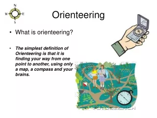
Every direction can be expressed as an angle with respect to north. In the military and the boy scouts, this is called an "azimuth", and bearings are expressed as a number of degrees. Orienteer's take the easy way out, just setting the angle on their compass and keeping the needle aligned, which in turn keeps them going in the right direction. A simple set of step-by-step instructions for setting a bearing on a base plate compass are: place the compass on the map so that the direction of travel arrow is lined up with the way you want to go turn the compass housing so that the arrows engraved in its plastic base are parallel to the north arrows drawn on the map (make sure the arrowhead points north and not south) take the compass off the map and hold it in front of you so that the direction of travel arrow points directly ahead of you rotate your body until the compass needle is aligned with the arrow on the base of the compass housing pick out a prominent object ahead of you along the direction of travel, go to it, and repeat the process (this way you can detour around obstructions but still stay on your bearing) Bearings The first thing you need to learn, are the directions. North, South, East and West. Look at the figure and learn how they are. North is the most important.
Reading a Compass You want to go northwest. What you do, is that you find out where on the compass housing northwest is. Then you turn the compass housing so that northwest on the housing comes exactly there where the large direction of travel-arrow meets the housing. Hold the compass in your hand. And you'll have to hold it quite flat, so that the compass needle can turn. Then turn yourself, your hand, the entire compass, just make sure the compass housing doesn't turn, and turn it until the compass needle is aligned with the lines inside the compass housing.
Map Legends Landforms Linear Man made
Map Legends Water Vegetation Rocks
Vocabulary Leg: The part of an orienteering course between two controls, or between the start and the first control, or the last control and the finish. Climb: The amount of up-hill climbing (ignoring downhill travel) that must be done to complete a course. Pace Counting: Counting the number of double-steps you take to estimate the distance you travel. (two words) attack point: An easy-to-find landscape feature shown on the map from which the final approach to a control may be made. (two words) catching feature: A long feature shown on the map running crosswise to one's direction of travel, and which will guide the runner toward the attack point. (two words) Handrail: A long feature shown on the map running more or less parallel to one's direction of travel. steering mark: An easily identifiable feature in the landscape not shown on the map, and is used by the orienteer to follow a bearing. (two words) North: Orienteering maps show magnetic _____. Scale: The size of the map compared to the area which it represents. Contour Line: A brown line on the map that is at constant altitude. When you cross such a line on the map, you are going up or down hill (two words) Form Line: A brown dashed line on the map which indicates a visible ridge or mound which is not high enough to be shown with the map's contour lines. (two words) Dog-leg: A control setting in which the orienteer is likely to use the same route leaving a control as approaching it. A flaw in course design because it may give an approaching orienteer an unfair advantage if, by chance, he/she meets someone leaving the control. (two words, hyphenated) Pace: A double-step. Black: Used for man-made (cultural) features such as roads and buildings, trails, railroads, and boundaries. blue: Used for water (hydrographic) features such as lakes and rivers. brown: Used for elevation (hypsographic) features shown by contour lines. green: Used for vegetation, such as woodland cover, scrub, orchards, and vineyards. Red: Used in USGS maps for important roads and for the land grid (public land survey system). Purple: Used in USGS maps for features added from aerial photographs during map revisions. The changes are not field checked.
Worksheet 1. What are the five parts of a compass? 2.What are the four directions used in Orienteering? 3. Explain how you determine your stride length. 4.Draw five Map legends for the following; Landform, Water, Rock, Vegetation, Linear, Man made 5.Define ALL 19 vocabulary words. 6. Draw and label a compass. 7. Explain how to read a compass.
Work cited • http://www.learn-orienteering.org/old/lesson1.html • http://www.williams.edu/Biology/Faculty_Staff/hwilliams/Orienteering/compass.html • http://www.williams.edu/Biology/Faculty_Staff/hwilliams/Orienteering/legend.html • http://homepage.eircom.net/~orienteering/what/legend.html • http://ideaplace.org/ORIENTEERING/VOCAB/OGenTermsTwoV.html