Download
1 / 21
250 likes | 663 Vues
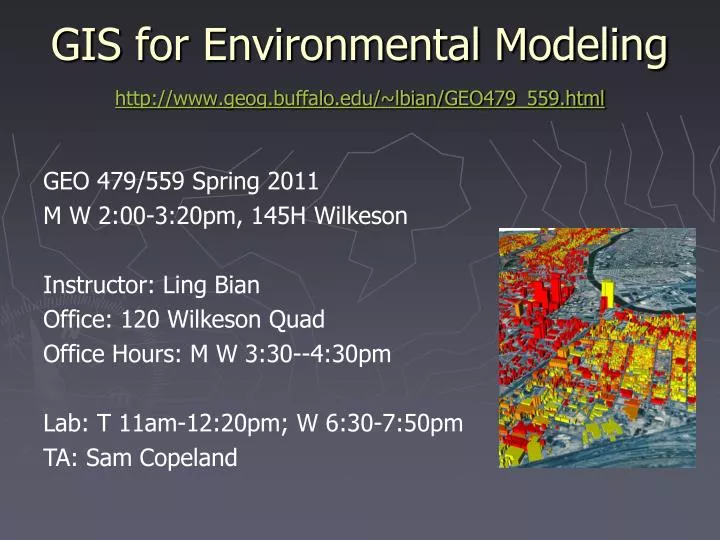
GIS for Environmental Modeling http://www.geog.buffalo.edu/~lbian/GEO479_559.html. GEO 479/559 Spring 2011 M W 2:00-3:20pm, 145H Wilkeson Instructor: Ling Bian Office: 120 Wilkeson Quad Office Hours: M W 3:30--4:30pm Lab: T 11am-12:20pm; W 6:30-7:50pm TA: Sam Copeland. What is it .

E N D
GIS for Environmental Modeling http://www.geog.buffalo.edu/~lbian/GEO479_559.html GEO 479/559 Spring 2011 M W 2:00-3:20pm, 145H Wilkeson Instructor: Ling Bian Office: 120 Wilkeson Quad Office Hours: M W 3:30--4:30pm Lab: T 11am-12:20pm; W 6:30-7:50pm TA: Sam Copeland
What is it ... • This is an intermediate level GIS course designed for senior undergraduate students and graduate students at all levels. Students are expected to have basic knowledge of GIS through either completing an introductory level GIS course or having entry level work experiences with GIS. • The course emphasizes GIS applications for environmental modeling, which is loosely defined as any projects that contain environmental elements.
What is it ... • The course has a lecture and a lab component. • The lecture will focus on Methodology Design by introducing a series of GIS methods and their intended use in order to help students select appropriate GIS methods for a project. Research design Methodology design Methods implementation
What is it ... • These topics of methodology design are covered under the following sections: Basic GIS methods Testing and validating GIS methods Integrating GIS with environmental models
What is it ... • The hands-on labs will focus on learning GIS tools in order to implement a GIS project. • Advanced topics in GIS research will also be introduced. • The course should benefit students specialized in environment, natural resources, and any disciplines that are concerned with environmental issues. Research design Methodology design Methods implementation
The Project • Students are expected to complete a project that uses GIS to address an environmental issue. • The topical area is flexible. Titles of past students' projects are listed at the class web site to provide a reference. Projects related to students' potential thesis or dissertation, current job or RA duties, and students' personal interests are strongly encouraged. Small and Nice vs. Big and Flat Plan A, B, C …
Presentation • Towards the end of the semester, students are expected to report their projects through a classroom presentation and a written project report.
Literature Review • As part of the project report, graduate students are required to develop a literature review and submit it by the 10th week of the semester (end of March).
Labs • A series of laboratory exercises will provide students with hands-on experience in GIS application. • ArcGIS will be the primary GIS software for the labs. • NO lab in the first week. • NO lab in the first week. • NO lab in the first week.
Labs ... • The exercises are designed to support many aspects of environmental modeling and to offer students with opportunities to practice the following techniques: Spatial data entry and editing Spatial file management and map making Attribute data manipulation and transition Overlay and buffering analysis Topographic analysis, grid modeling, and 3-D GIS and statistics integration More …
Other Things before “Grading” • Textbook No required textbooks. • Prerequisite Intro to GIS such as Geog 506/481 or the equivalent, basic statistics, or the consent of the instructor.
Grading Undergraduate Graduate Project Report 60% *40% Literature Review 20% Lab assignments 30% 30% Classroom involvement 10% 10% -------------------------------------------------------------- Total 100% 100% * The 40% is the project report excluding the literature review.
Grad cut-off A 93.33-100.0 A- 90.00-93.32 B+ 86.67-89.99 B 83.33-86.66 B- 80.00-83.32 C+ 76.67-79.99 C 73.33-76.66 C- 70.00-73.32 D+ 66.67-69.99 D 60.00-60.66 F <60
Tentative Schedule I. Basic GIS Methods 1/19 Introduction 1/24 Environmental modeling and environmental models 1/26 GIS modeling 1/31 GIS data sources 2/ 7 Basic GIS modeling - suitability index 2/ 9 GIS functions for suitability index 2/14 GIS functions for suitability index 2/14 GIS functions for suitability index
Tentative Schedule ... II. Testing and Validating GIS methods 2/21 Basic testing methods 2/23 Basic testing methods 2/28 Validating GIS models 3/ 2 Testing relevancy of GIS layers 3/ 7 Weighting GIS layers 3/ 9 Weighting GIS layers 3/14-19 Spring Break
Tentative Schedule ... III. Integrating GIS with Environmental Models 3/23 Project report development 3/28 Spatial interpolation 3/30 Integration of GIS and environmental models 4/ 4 Advanced Topics 4/6,11,13,18,20,25 Class presentations 4/25 Conclusion The schedule and topics may change based on students' research interests and potential guest speakers' schedule.
Major Events in This Semester • ESRI recruiting Jan 31 • Steve Russell’s resume workshop 11am F, M • Ad hoc job announcements
Recommended Data Sources • http://cugir.mannlib.cornell.edu/ • http://www.nysgis.state.ny.us/ • http://seamless.usgs.gov/ • http://datagateway.nrcs.usda.gov/
On-line Notes On-line notes in html and the matching PowerPoint slides Will be available before the lecture http://www.geog.buffalo.edu/~lbian/GEO479_559.html
Plagiarism What is plagiarism and how to avoid it: http://ublib.buffalo.edu/libraries/asl/guides/plagiarism.html http://www.guardian.co.uk/world/2011/mar/01/german-defence-minister-resigns-plagiarism
Expectations • High level intern or fulltime GIS employee • Spatial part of your MA or PhD research projects