Download
1 / 16
160 likes | 388 Vues
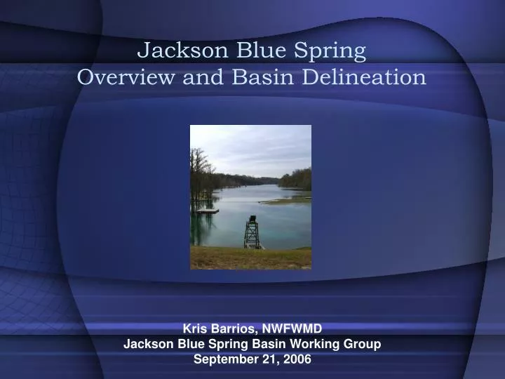
Jackson Blue Spring Overview and Basin Delineation. Kris Barrios, NWFWMD Jackson Blue Spring Basin Working Group September 21, 2006. Floridan Aquifer Springs in the Dougherty Karst Region. Spring inventories available at: www.nwfwmd.state.fl.us/pubsdata/techpubs.html.

E N D
Jackson Blue SpringOverview and Basin Delineation Kris Barrios, NWFWMD Jackson Blue Spring Basin Working Group September 21, 2006
Floridan Aquifer Springs in the Dougherty Karst Region Spring inventories available at: www.nwfwmd.state.fl.us/pubsdata/techpubs.html
Jackson Blue Spring - Discharge • Average Measurement of 152 cfs (cubic feet per second) • Measurements concentrated from 2001 to present
Jackson Blue Spring - Nitrate • Clear historical increasing trend • Present values range from 3.0 to 3.5 mg/L
Florida Springs Initiative 2001-2002 Two tasks focused on Jackson Blue Spring • Ground Water Basin Delineation • Land Use Analysis
Potentiometric Surface • A model of the surface of the Floridan Aquifer water table based on elevations measured in Floridan Aquifer wells and springs 1991 Floridan Aquifer Potentiometric Surface
Potentiometric Surface • Water movement is from areas of high potential to areas of low potential…..in other words “downhill”
Spring Ground Water Basin • The area generated from a potentiometric surface where the ground water flow path leads to a spring Jackson Blue Spring Basin (Chelette, et. al. 2002)
Jackson Blue Spring Basin Land Use • Mapped from GIS land use coverages made from 1994-1995 aerial photographs
Origin of Jackson Blue Spring Nutrients The low d15N result for Jackson Blue Spring indicates inorganic fertilizer as the source of the elevated N concentration • Brian Katz (USGS) performed an analysis of nitrogen isotope data collected from Jackson Blue Spring in October 2001.
Age Dating Spring Water • Also conducted by Katz in 2001….best determined by the 3H/3He ratio Analysis resulted in a mean recharge year of 1984……17 years
Estimated Fertilizer Application • Calculated from reported fertilizer sales in Jackson County
Basin Nitrate Concentrations Indicates present water quality in basin Assuming the samples do represent conditions within the entire basin, the average Nitrate concentration is currently 2.7 mg/L • Samples collected and analyzed Fall 2004 (Barrios and DeFosset, 2005)
Primary Contribution Area • Based on statistical analysis of water chemistry
Study in Progress • Sample collection from Jackson Blue Spring and seven additional spring vents in Merritts Mill Pond. • Refinement of Floridan Aquifer potentiometric surface with surveyed elevations – improvement from 10-foot to 1-foot resolution. • Installation of continuous velocity meter within the Jackson Blue Spring conduit. • Land use comparison between 2004-2005 data and 1994-1995 data.
Nitrate values in other springs: Hays Spring – 3.1 mg/L Baltzell Spring – 2.5 mg/L Shangri-La Spring 3.4 mg/L Double Spring – 0.95 mg/L Gadsden Spring – 0.84 mg/L Mill Pond Spring – 0.97 mg/L Springboard Spring – 0.84 mg/L (FGS Bulletin 66)