Download
1 / 18
180 likes | 507 Vues
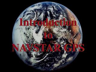
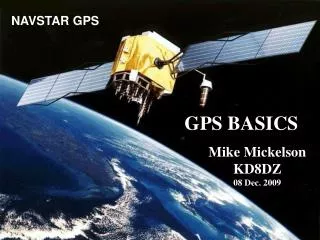
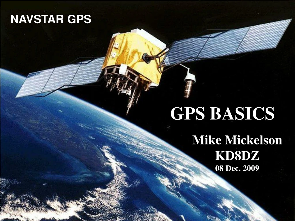
NAVSTAR GPS. GPS BASICS. Mike Mickelson KD8DZ 08 Dec. 2009. GPS Global Positioning System Satellites are used by the NAVSTAR Global Positioning System. The first NAVSTAR GPS Satellite (NAVSTAR 1) was launched on Ferbruary 22 nd 1978. The oldest functioning GPS Satellite dates from 1990.

E N D
NAVSTAR GPS GPS BASICS Mike Mickelson KD8DZ 08 Dec. 2009
GPS Global Positioning System Satellites are used by the NAVSTAR Global Positioning System • The first NAVSTAR GPS Satellite (NAVSTAR 1) was launched on Ferbruary 22nd 1978. The oldest functioning GPS Satellite dates from 1990. • The GPS satellite constellation is operated by the 50th Space Wing of the USAF.
Constellation of 24 to 32 GPS Satellites. Which are monitored and controlled by ground stations. These Orbit the earth once every 12 hours, Which allows satellites to be updated twice a day. In addition there is the Wide Area AugmentationSystemof Geostationary Satellites, WAAS which are updated every 5 seconds from ground stations.
Satellite numbers Block Launch Period Satellites launched Currently in service I 1978–198510 + 1 [1] 0 II 1985–19909 0 IIA 1990–1997 19 11 IIR 1997–2004 12 + 1 [1] 12 IIR-M 2005–2009 8 7 IIF 2009–2011 0 + 10 [2] 0 IIIA 2014–? 0 + 12 [3] 0 IIIB 0 + 8 [3] 0 IIIC + 16 [3] Total 58 + 2 [1]+10 [2]+36 [3] 30 [1] Failed [2] In preparation [3] Planned Last update: 24 November 2009
Satellite Complement, Software, and Hardware • The basic GPS system consists of a constellation of between 24 to 32 satellites in medium Earth orbit. Medium Earth orbit lies between 1243 miles and 22,236 miles. • GPS Orbits at around 12,552 miles (20,200 km. • Geostationary orbit at 22,236 miles (35,786 km. • Each GPS satellite contains several cesium atomic clocks (usually 4) having a precision on the order of a few nanoseconds. One nanosecond is the time it takes light in a vacuum to travel 30cm or about one foot.) • Each satellite also contains its ephemeris and an almanac. The ephemeris contains the coordinate information for the satellite. The almanac contains other information about all the satellites. • The satellite is also equipped with transmitters and receivers to allow for making corrections to the satellite’s clock, ephemeris, and almanac. These corrections are received from ground stations and rebroadcast to the GPS Receivers.
GPS RADIO FREQUENCIES • L1 (1575.42 MHz):Mix of Navigation Message, coarse-acquisition (C/A) code and encrypted precision P(Y) code. • L2 (1227.60 MHz): Military access only. • L3 (1381.05 MHz): Used by the Nuclear Detonation Detection System Payload for signal detection of nuclear detonations and other high-energy infrared events. Used to enforce nuclear test ban treaties. • L4 (1379.913 MHz): Being studied for additional ionospheric correction. • L5 (1176.45 MHz): Proposed for use as a civilian safety-of-life (SoL) signal. This frequency falls into an internationally protected range for aeronautical navigation, promising little or no interference under all circumstances.
How Does NAVSTAR GPS Work? Five Concepts • Triangulation for satellites is the basis of the system. • To triangulate, GPS measures distance using the travel time of a radio signal at the speed of light as modified by the Ionosphere and the Earth’s atmosphere. • 3. To measure the travel time, GPS needs very accurate clocks. • 4. Once you know the distance to a satellite, you then need to know where the satellite is in space using the on board ephemeris and almanac. • As the GPS signal travels through the Ionosphere and the Earth’s atmosphere, corrections need to be made.
Triangulation Steps Surface of a Sphere of RadiusR. X R R = c Δt X = GPS Satellite R = distance from GPS Satellite to GPS receiver. c = speed of light (radio signal) Δt = time difference between GPS Satellite clock and GPS Receiver clock.
SIGNALS GENERATED BY THE SATELLITE Pseudo Random Code Navigational Message
Clock from GPS Satellite Δt GPS Receiver Clock
ERROR PROPAGATION • For example, an timing error of 0.001 seconds (one ms) results in a distance error of approximately 186 miles. • Code Phase error. Up to 1 microsecond results in about 1000 feet. GPS receivers easily correct to 1%, or about 10 to 20 feet.
INTERSECTION SPHERES FROM 2 SATELLITES Sphere of Radius R1 Sphere of Radius R2
3D Diagram of the intersection of two spheres of radii R1 and R2. The GPS Receiver is anywhere on the Circle of intersection of the two spheres.
The addition of a third sphere reduces the uncertainty to two points. At least one of which is on the surface of the Earth. The addition of a fourth sphere pinpoints the location of the GPS Receiver uniquely within the inherent errors of the system. The fourth satellite allows clock synchronization. Which allows the GPS unit to have Atomic Clock Accuracy.
CORRECTIONS Most GPS Receivers track at least 12 GPS Satellites (12 channel receiver) if visible above the horizon. (For example the DeLorme LT-40 has a 16 channel receiver.) DGPS – Differential GPS comes in two flavors. • Fixed station at a known geographic location with several Rovers. Corrections are real time or post processed. • SBAS – Satellite Based Augmentation Systems such as WAAS (Wide Area Augmentation System) augmented GPS Receivers include real time corrections from the Geostationary WAAS Satellites above the continental US and Hawaii or EGNOS in Europe. These systems provide improved accuracy and are another form of Real Time Corrections.
Programs such as the Delorme Street Atlas and GPS units with NMEA 0183 Serial Protocol can be used to provide real time geographical location.
GPS Accuracy • Older GPS units with Selective Availability, (SA) ON. 30 + ft. 10m+ • Older GPS unit with SA OFF, as of 2000, ~ 15 feet (3-5m) • Differential GPS [Uses post processed data from a GPS Ground Station of known precise location. ~ 1 ft. (0.3m±)] Data is usually post processed. • GPS-WAAS. Typical 3 to 6 ft. (1 to 2 meter accuracy). • Carrier Phase wave GPS. Combines data from precisely located base station. Sub inch accuracy (few millimeters) used these days by surveyors.
SOME USEFUL WEB SITES • http://www.trimble.com/gps/sub_phases.shtml Trimble gps Tutorial. • http://www.gps.gov/ This site describes some of the 21st Century GPS Augmentation on the horizon