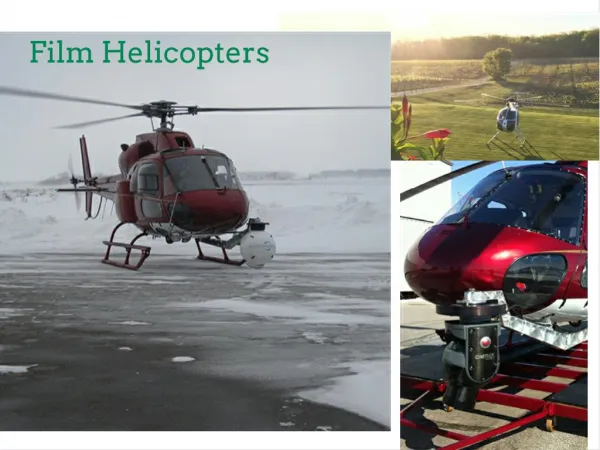
Download
1 / 11
150 likes | 549 Vues
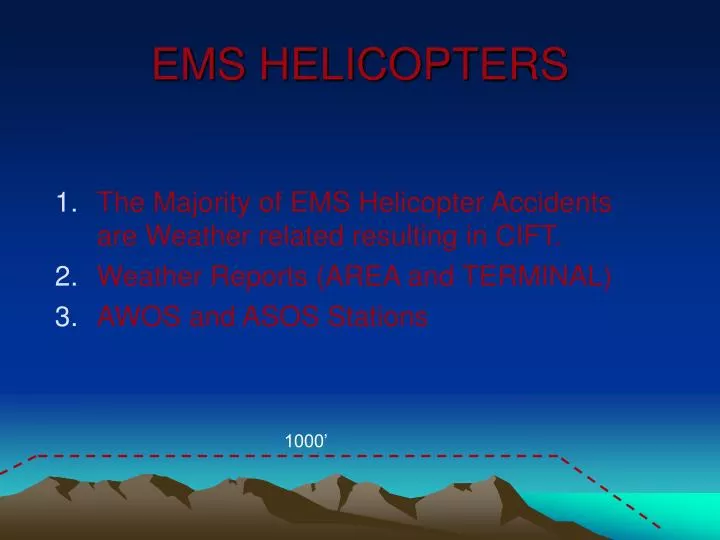
The Majority of EMS Helicopter Accidents are Weather related resulting in CIFT. Weather Reports (AREA and TERMINAL) AWOS and ASOS Stations EMS HELICOPTERS 1000’ AREA FORCAST

E N D
The Majority of EMS Helicopter Accidents are Weather related resulting in CIFT. Weather Reports (AREA and TERMINAL) AWOS and ASOS Stations EMS HELICOPTERS 1000’
AREA FORCAST • The US Weather Service and many private organizations report and forecast the weather. It is important for pilots and air traffic management personnel to know that a weather report or a weather map is history and a weather forecast is a computer-generated best guess. They must use all available weather data from real time to forecasts before and during the flight to make decisions that maintain safety in the skies. There are many sources of weather data, all of which are covered briefly below. For convenience they are categorized into printed reports and forecasts, graphic weather analyses and briefings and advisories. Not all are used all the time, but each provides valuable information. For short, local flights, a pilot may only need to be informed of general weather conditions. For extended or cross-country flights, a pilot will need more detailed information covering a greater area and perhaps at various altitudes.
TERMINAL FORECAST • Terminal Forecasts (FT) is one of the best sources for predicting what the weather at a particular airport (terminal) will be in the future. These forecast predictions cover an area within 5 nautical miles of the center of the runway field. FTs are usually issued 3 times a day and are valid for accuracy up to 24 hours. The first section of the FT covers the expected weather for the upcoming 18-hour period. This includes information about ceiling, visibility, vision obstructions, wind and expected weather changes at that facility.
ASOS PARAMETER PROCESSING RADIUS INTERVAL VALIDITY (MINUTES) (MILES) SKY CONDITIONS 30 3-5 VISIBILITY 10 2-3 PRECIPITATION 10 1-2 FREEZING RAIN 15 2-3 TEMP/DEW POINT 5 5 WIND 2 1-2 PRESSURE 1 5
AWOS – (2,3) The Automated Weather Observing System (AWOS) is a suite of sensors, which measure, collect and disseminate weather data to help meteorologists, pilots and flight dispatchers prepare and monitor weather forecasts, plan flight routes, and provide necessary information for correct takeoffs and landings. AWOSs provide a minute-to-minute update that is usually provided to pilots by a VHF radio on a frequency between 118 and 136 MHz. AWOSs are categorized as either Federal or NonFederal. Federal AWOSs were purchased and are currently maintained by the FAA. NonFederal AWOSs are purchased and maintained by state, local, and private organizations. The sensors measure weather parameters such as wind speed and direction, temperature and dew point, visibility, cloud heights and types, precipitation, and barometric pressure. The AWOS does not predict weather, but many send current information to weather offices where forecasts are produced using this information along with computer model outputs, satellite photos and radar images, to name a few. Every hour on the hour, the AWOS data is made available to off-site users by those AWOSs on Service A (long line telephone communication) or satellite uplink. The aviation community, which is one of the largest users of environmental data, is the major user of the AWOS information.
AWOS (1,2,3) Every hour on the hour, the AWOS data is made available to off-site users by those AWOSs on Service A (long line telephone communication) or satellite uplink. The aviation community, which is one of the largest users of environmental data, is the major user of the AWOS information. AWOS I: Wind Speed, Wind Gust, Wind Direction, Variable Wind Direction, Temperature, Dew Point, Altimeter Setting, Density Altitude AWOS II: Same as AWOS I + Visibility, and Variable Visibility AWOS III: Same as AWOS II + Sky Condition, Cloud Height and TypeAWOS III-P: Same as AWOS III + Present Weather, Precipitation Identification AWOS III-T: Same as AWOS III + Thunderstorm and Lightning Detection AWOS III-P-T: Same as AWOS III + Present Weather and Lightning Detection
ALABAMA 24 ALASKA 90 ARKANSAS 25 ARIZONA 26 CALIFORNIA 93 COLORADO 28 CONN. 10 DELAWARE 03 FLORIDA 55 GEORGIA 42 HAWAII 07 IOWA 52 IDAHO 16 ILLINOIS 49 INDIANA 20 KANSAS 37 KENTUCKY 32 LOUISIANA 23 MASSACHUSETTS 19 MARYLAND 15 MAINE 15 MICHIGAN 52 MINNESOTA 83 MISSISSIPPI 22 MISSOURI 22 NEBRASKA 28 MONTANA 20 NEVADA 14 NEW HAMPSHIRE 10 NEW JERSEY 13 NEW MEXICO 21 NEW YORK 40 NORTH CAROLINA 52 NORTH DAKOTA 10 OHIO 44 OKLAHOMA 40 OREGON 28 PENNSYLVANIA 44 RHODE ISLAND 05 SOUTH CAROLINA 52 SOUTH DAKOTA 16 TENNESSEE 47 TEXAS 88 UTAH 15 VERMONT 06 VIRGINIA 37 WASHINGTON 31 WASHINGTON D.C. 02 WEST VIRGINIA 15 WYOMING 20 ASOS and AWOS Stations1598 FED and NON-FED LISTED
COMMENT 1 • MORE WEATHER STATIONS • MORE WEATHER STATIONS • MORE WEATHER STATIONS
ENROUTE ALTITUDES AND ROUTES • ROUTE WIDTHS (2NM) • AWOS MAP • AWOS ALTITUDE • AWOS CEILING (AGL) • PREPLANNED • NEW ROUTE
RECOMMENDATIONS • ALL AWOS STATIONS BE PLACED ON CLASS “A” SERVICE (LAND LINE, SATELLITE, OR WEB. • AWOS ALTITUDE INFORMATION BE GIVEN WITH OTHER READ-OUTS. • PLACEMENT OF AWOS SYSTEMS • ABILITY TO USE OTHER WEATHER SOURCES AS ADVISIORY INFORMATION. • TRAINING PROGRAM FOR EMS PILOTS ON WHAT WEATHER INFORMATION AND SOURCES ARE AVAILIABLE. • STANDARIZED TRAINING PROGRAM FOR EXEMPTION (6175). • TRAINING PROGRAMS FOR POI’s ON EMS WEATHER, EXEMPTIONS, LOW LEVEL ROUTES, VFR AND IFR PROCEEDURES.