Download
1 / 14
140 likes | 350 Vues
Dora Reader, USGS BRD Great Lakes Science Center. Steve Aichele, USGS WRD Michigan ... Eight states - Great Lakes watershed. Focus on fish (other aquatic ...

E N D
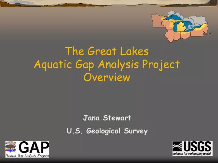
The Great Lakes Aquatic Gap Analysis Project Overview Jana Stewart U.S. Geological Survey
Great Lakes Aquatic Gap Project • Funding: • USGS Biological Resources Division • National GAP Analysis Program • Co-Principal Investigators: • Donna Myers, USGS Great Lakes Coordinator • Dora Reader, USGS BRD Great Lakes Science Center • Steve Aichele, USGS WRD Michigan District • James McKenna, USGS Tunnison Laboratory • Jana Stewart, USGS WRD Wisconsin District
What is “GAP”? • Program • Terrestrial (1988) - Most states in progress • Aquatic (1997) – Statewide projects MO and OH Aquatic Gap Goals • to map the species distributions and diversity of fish and other aquatic species and their habitats • Identify the gaps in conservation of these species and associated habitats
Great Lakes Aquatic Gap Studies Riverine systems • Eight states - Great Lakes watershed • Focus on fish (other aquatic biota in future) • Common methods and approach (MO, OH, MIFR, TNC) • Focus of WI project and talks today Coastal Pilot • Focus on method development for habitat classification • Nearshore coastal systems • Pilot areas – Lake Ontario and Erie
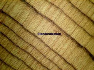
Regional Standardization across States • Valley Segment Type (VST) classification • National Hydrography data (NHD) – 1:100K • Biological coding (IT IS) • Organization of databases for all states and areas in the region into a single central Oracle database system.
Objectives: Aquatic Gap for Riverine Systems 1) Delineate and map ecologically similar drainage areas. 2) Classify aquatic habitats in streams using regionally consistent methods (VST). 3) Develop aquatic biological databases at the State and regional scale. 4) Map known and predicted occurrence and distribution of fish and other aquatic species for streams. 5) Complete a gap analysis of fish and selected aquatic biota. 6) Serve these data on the Internet and CD ROM. 7) Analyze and interpret results at statewide, lakewide, and basinwide scales.
How does GAP work? • Institutional cooperation and partnerships • State level projects • Identify • - stakeholders and level of participation • - related projects to coordinate with • Develop products with value at the local, State, and Regional level
Valley Segment Types Temperature Stream Size Flow Gradient Geology Stream Segment Classification: Valley Segment Types Valley segments stratify a continuous stream network into distinct hydrogeomorphic patches Individual Variables Unique Valley Segment Types
Aquatic Biological Data needed for Target Biota • Location: • - stream name, latitude, longitude, hydrologic unit, river mile • Sample Information: • - date • Species Information: • - scientific name, common name, species ID code, count
How might the results be used? • mapping species distributions • identifying data gaps • developing biomonitoring networks • modeling to predict species distributions • developing management strategies • developing policy,etc.
Prioritize WatershedsFor Future Fish Survey Efforts Number of samples 0 1 - 10 11 - 67
‘99 ‘00 ‘01 ‘02 ‘03 ‘04 ‘06 ‘08 OH MI WI NY MN IL IN PA PILOT Coastal PLANNING ANALYSIS PUBLICATION Great Lakes Aquatic Gap Timeline Year starting ‘05 ‘07 Coastal