Download
1 / 26
260 likes | 457 Vues
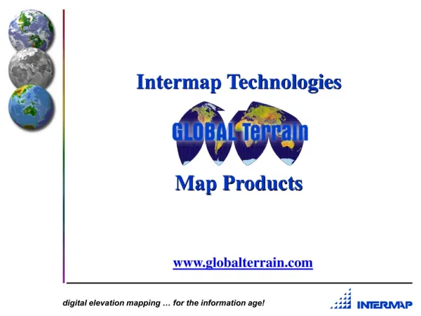
Intermap Technologies Map Products. www.globalterrain.com. Forest Resource Management. 3D Virtual Infrastructure. Visualization. Business Model. Platforms. Products. Distribution. STAR-3 i. DEM. ORI. Intermap LearJet36 STAR-3 i. Benefits of STAR- 3i. Cloud Penetration

E N D
Intermap TechnologiesMap Products www.globalterrain.com
Business Model Platforms Products Distribution STAR-3i DEM ORI
Benefits of STAR-3i • Cloud Penetration • First Generation Elevation Models • Day/Night Acquisition • Rapid Mapping System (100 sq km per min) • Semi-Automated Map Production • Geodetic (georeference) control for GIS layers • Orthorecitification for high resolution optical imagery
SAR Image SAR Image Pixel Amp Pixel Phase Differences & Phase Processing B (Interferogram) SAR ANT #1 ANT #2 Image DEM Pixel Amp & Phase Interferometer Phase Difference Altitude above geoid Height above geoid Concept of Operations
GT Products IM2 ORI Product 2.5 meter pixels GT2 DEM Product <2 meter vertical 9
ORI/DEM Integrated Product Bay St. Louis, MS
Indonesia Coverage East and West Java Irian Jaya
Central America IFSAR Data Coverage, 1999
GT Product Coverage • SouthEast Asia • Indonesia which includes major portions of Java and Irian Jaya (~90,000 km2) • Central America • 9 sites (~50,000 km2) • Europe (~56,000 km2) • UK covering London and the Thames River (~20,000 km2) • Germany (~12,000 km2) Index maps are located at www.globalterrain.com. 15
GT Product Coverage • North America • Baltimore/Washington DC (~8,000 km2) • California - Los Angeles, San Francisco, Oakland, San Jose, Sacramento and San Diego (~80,000 km2) • Denver Front Range - Denver, Fort Collins, Boulder, and Golden (~11,000 km2) • Massachusetts - (~25,000 km2) • Puerto Rico (full coverage) • Latin America • Panama (~32,000 km2) • 3 blocks in Venezuela (~44,000 km2) 16
GT Product Levels • DEM * • GT1 +/- 1m vertical 5m post 1:5,000 • GT2 +/- 2m vertical 10m post 1:10,000 • GT3 +/- 3m vertical 10m post 1:24,000 • * Note: DEM is first surface • ORI • IM2 - +/-2.5m horizontal 2.5m pixel 191 sq km. per tile at 14-16° latitude 17
GT2 DEM Product Specifications Abs.Vertical Accuracy 2.0 meter RMSE Abs. Horizontal Accuracy 2.5 meter RMSE Post spacing 10.0 meter Projection UTM Vert/Hor Datum WGS-84 Ellipsoid Image Format BIL, ASCII Mosaic Coverage 7.5 minute quad tiles Metadata Format NSDI Compliant
IM2 ORI Product Specifications Spatial Resolution 2.5 meters Abs. Vertical Accuracy N/A Abs. Horizontal Accuracy 2.5 m RMSE Projection UTM Horizontal Datum WGS-84 Image Format GEOTIFF, BIL Mosaic Coverage 7.5 minute quad tiles Metadata Format NSDI Compliant
EULA Pricing • North America • GT1 - $3,185 per 7.5” tile • GT2 - $1,910 per 7.5” tile • GT3 - $1,590 per 7.5” tile ($12/sqkm or $0.5/acre) • GT5 - $1,275 per 7.5” tile • IM2 - $960 per 7.5” tile Price spreadsheet is located at www.globalterrain.com. 20
Verification & Validation • NASA SSC • USDA • ACOE TEC • NIMA • USGS • Indonesia Mapping Institute • INS - Institute of Navigation Stuttgart • IPF - Institute for Photo and RS University of Stuttgart Bibliography of Articles on Verification Results - available upon request
Verification & Validation Verification Paper is located at www.globalterrain.com.
STAR-3i IFSAR Data Workshop Announcement at www.globalterrain.com
Presentation Hot Links • GT Product Overview • GT DEM Product Comparisons • GT Product Applications • GT ORI Product Artifacts • GT Product Pricing • GT Product Talking Points