Download
1 / 20
200 likes | 489 Vues
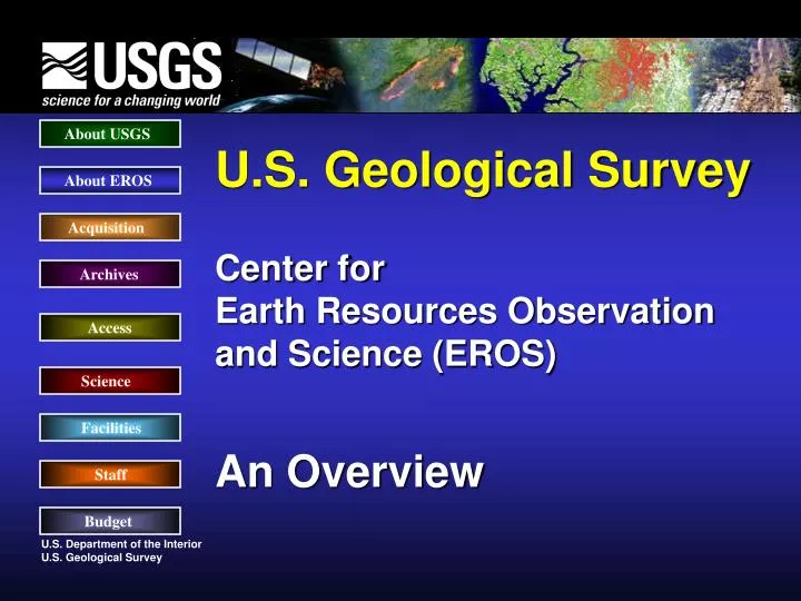
U.S. Geological Survey - Overview About USGS Mission : The USGS serves the Nation by providing reliable scientific information to: describe and understand the Earth; minimize loss of life and property from natural disasters; manage water, biological, energy, and mineral resources;

E N D
U.S. Geological Survey - Overview About USGS Mission: The USGS serves the Nation by providing reliable scientific information to: • describe and understand the Earth; • minimize loss of life and property from natural disasters; • manage water, biological, energy, and mineral resources; • enhance and protect our quality of life. Vision: USGS has become a world leader in the natural sciences thanks to our scientific excellence and responsiveness to society’s needs. About EROS Acquisition Archives Access Science Facilities Staff Budget
Secretary DOI U.S. Geological Office of Bureau of U.S. Fish and Survey Surface Mining Indian Affairs Wildlife Service Minerals Management Bureau of National Park Bureau of Service Reclamation Service Land Management USGS EROS Organizational Alignment About USGS About EROS Acquisition Archives Access Science Facilities Staff Budget
“Project EROS” • “…the time is now right and urgent to apply space technology towards the solution of many pressing natural resource problems being compounded by population and industrial growth.” • Secretary of the Interior • Stewart L. Udall –1966 Earth Resources Observations and Science About USGS About EROS Acquisition Archives Access Science Facilities Staff Budget
Earth Resources Observations and Science About USGS EROS About EROS Acquisition Archives Access Science Science: To promote applications, users, and knowledge of land information to better understand our planet Data Acquisition/Access: To ensure that scientists, researchers, businesses, decision makers, and the public have ready access to land information Data Archives: To safeguard and expand the national archive of remotely sensed land data Facilities Staff Budget
DIRECTOR’S OFFICE GEOGRAPHIC SCIENCES TEAM Land Sciences Information Remote Sensing Solutions Systems Project Project Project Project Project Project MISSION SUPPORT TEAM Task Task Task Task Task Task Task TECHNICAL SERVICES SUPPORT CONTRACT PROGRAM SERVICES TEAM EROS Management Framework About USGS About EROS Acquisition Archives Access Science Facilities Staff Budget
Satellite Operations About USGS Satellite Data Capture • Multi-Mission Data Acquisition Multi - Temporal - Spectral - Spatial - Sensor • 24 X 7 Operations About EROS Acquisition Archives Access Science Facilities Staff Budget
1972 Landsat 1 Landsat 1, 2, 3 1975 Landsat 2 1978 Landsat 3 1982 Landsat 4 1984 Landsat 5 Landsat 6, 7 Landsat 4, 5 1993 Landsat 6 (failed to reach orbit) 1999 Landsat 7 2010 Future Landsat Mission 1970 1985 1990 1995 2005 2010 1980 2000 2015 1975 2020 Life of Landsat About USGS About EROS Acquisition Archives Access Science Facilities Staff Budget
Landsat Network About USGS Landsat International Cooperators About EROS Acquisition Archives Access Science Facilities Staff International Data Exchange Standard Implemented with Landsat 7 Budget
Archiving Earth Image Records About USGS • Film Archives Digital Archives • - 1939 to Present - 1972 to Present • - 24 Major Collections - 1 to 2 Terabytes / Day • - Multiple film formats/sizes- 2.8 Petabytes • - Over 8.6 million frames - Over 21 million files About EROS Acquisition Archives • Responsibilities • Populate the Archive • Preserve the Archive - HOLD in TRUST • Provide Access to the Archive • Distribute Products from the Archive • Manage and Improve the Archive • Seek Advice in the Management of the Archive Access Science Facilities Staff Budget
Accessing Data About USGS Earth Explorer http://earthexplorer.usgs.gov Global Visualization Viewer http://glovis.usgs.gov/ The National Map http://nationalmap.usgs.gov Seamless http://seamless.usgs.gov NASA DAAC EDG http://lpdaac.usgs.gov/main.asp Web Mapping Services http://gisdata.usgs.net About EROS Acquisition Archives Access Science Facilities Staff Budget
Understanding Landscape Change About USGS About EROS Acquisition Archives Access Science Las Vegas Area in 1973 (population 358,400) Las Vegas Area in 2000 (population 1,563,280) Facilities Staff Budget
Center for Lidar Information Coordination and Knowledge - CLICK About USGS CLICK is designed to facilitate innovation in the scientific community by providing a place for all LIDAR users—inside and outside the USGS—to visit, ask and answer questions, and coordinate with others who are seeking or have data in their study area. About EROS Acquisition Archives Access Science Facilities http:\\lidar.cr.usgs.gov Staff Budget
Responding to Natural Hazards About USGS LANDFIRE: a multiyear effort to map fire fuels for the nation for fire risk assessment. Fire Danger Monitoring: vegetation condition information for forecasting fire danger in support of the National Interagency Fire Center. Monitoring Trends In Burn Severity: A multiyear effort to map over 10,000 major fires since 1984 and assess trends in burn severity. About EROS Acquisition Archives Access Science These activities are conducted in cooperation with DOI agencies and the U.S. Forest Service Facilities Staff Budget
Working Globally About USGS Famine Early Warning System (FEWS) Wide Area Crop Water Balance Modeling - West Africa About EROS Acquisition Archives Access Science Facilities Staff Budget
Facility About USGS About EROS Acquisition Archives Access Main Floor: 175,000 square feet of finished office space, meeting rooms, and IT infrastructure Science • Lower Level: 43,575 square feet of finished space • Film Archive -- 28,725 square feet • Digital Archive -- 11,850 square feet • Computer Room -- 3,000 square feet • 33,800 square feet of unfinished space Facilities Staff Budget
Partnerships are Critical About USGS • 8 Contract Firms Supporting South Dakota Operations • SAIC (391): science and operations-home base in California • SGT (81): information technology-home base in Maryland • Tri-Star (9): logistics management-home base in Indiana • ETI (4): short-term/temp. technical experts-home in Colorado • DCT (19): facility maintenance-home base in Oklahoma • Pleasant Valley (8): custodial services-home base in South Dakota • ATA (10): facility/personnel security-home base in Colorado • OMS (11): Financial management-home base in Colorado • 3 Contract Firms Supporting Satellite Operations • Honeywell (30): Landsat 7 mission operations-home base in Maryland • Computer Sciences Corporation (20): Landsat 5 mission operations-home base in Maryland • Aerospace (1): Satellite systems engineering-home base in California About EROS Acquisition Archives Access Science Facilities Staff Budget
Partnerships are Critical Government Programs About USGS About EROS Acquisition Archives Access Science Facilities Commercial Providers Staff Budget
$M Projected * Total 25.6 29.1 33.0 29.8 33.6 39.5 42.1 50.7 59.0 62.8 63.0 65.1 62.4 67.5 Partnerships are Critical About USGS About EROS Acquisition Archives Access Science Facilities Staff Budget
About USGS About EROS Acquisition Questions Archives Access Science Facilities Staff Budget