Download
1 / 30
300 likes | 619 Vues
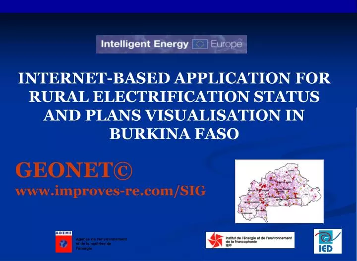
INTERNET-BASED APPLICATION FOR RURAL ELECTRIFICATION STATUS AND PLANS VISUALISATION IN BURKINA FASO GEONET© www.improves-re.com/SIG. Outline Presentation. Multi-sectorial approach Rationale : long-standing sharing of multi-sectorial data Burkina Faso application presentation

E N D
INTERNET-BASED APPLICATION FOR RURAL ELECTRIFICATION STATUS AND PLANS VISUALISATION IN BURKINA FASO GEONET© www.improves-re.com/SIG
Outline Presentation • Multi-sectorial approach • Rationale : long-standing sharing of multi-sectorial data • Burkina Faso application presentation • Web Interface features • Functionalities
Multi-sectorial approach • The multi-sectorial approach is from now a key principle of access to the energetic services of rural and peri-urban population. • The energetic programs should in the future, more than in the past, be based on needs and services identification for the regional development, and on the coordination with others sectorials investments to guarantee substantial economic and social impact but also a market.
Rationale : long-standing sharing of multi-sectorial data • long-standing sharing of data : determinant factor essential for the approach: • Sectorial data collect (health, education, local economy) • Setting up of protocol of long standing sharing of information • Concerted plans
Objectives • Improves project management and facilitate their plans; • Increase visibility of progresses contributing to a better results diffusion; • Visualize physical fulfillments thanks to identification supports and geographical distribution of projects ; • Facilitate the access of pertinent information to the local actors ; • Realize a tool for decision making being a reference for evaluation and support for projects impacts.
Burkina Faso application presentation Visualization tool of Rural electrification plans in Burkina Faso Transparent access to information in order to give a concrete dimension to the multi sectorial coordination of investments thanks to a mutual knowledge of the status and plans of the different sectors Showcase open to all parties requiring information (local stakeholders, international backers, ministries, NGOs, private actors…). www.improves-re.com/SIG
Application presentation • Computer application based on GIS technology and benefiting from Internet functionalities easy remote access to strategic and multi-sectorial information, decisive to sectorial decision making. • Concrete expression of information sharing: national players providing the application with information related to their sector have access to geographically localised data of other sectors:
Presentation : a geographically localized database at national scale • rural electrification current status and plans • health infrastructures (clinics, health centres, maternity, hospitals, …) • education infrastructures (schools, secondary school, universities,…) • various facilities (drinking water supply, GSM aerial…) • road network • various economic data (markets, agro-industries, irrigation zones, banks, etc.).
Presentation : a participative approach Strong commitment of contracting authorities • During development phase • Functionalities definition • Definition of indicators to spread • Data collect and consolidation • Development and publishing • Creating data exchange protocols • Maintenance and data update • During technology taking over • The technological transfer occurs all the way of the process and guarantee the tool permanence.
Web Interface features Here is an example of RE web interface focusing on the status and plans of electrification in Burkina – Faso : 4 main windows and 3 multisectorial maps: • Welcome page • Rural electrification window • Network window • RE indicators window
6-Tool bar 3-Current thematic map 1-Regional location 9-Layers/Themes 2-Thematic maps 4-Region 10-Legende 5-Search 7-Main zone 8-Information area
Thematic maps « Electric » and administrative maps Multisectorial maps
Regional thematic maps Possibility to display a thematic map for a selected region / province
A dropdown list allow a quick access to a locality • Locality search The search tool enables to find a locality on the displayed map. Example: searching Bobo - Dioulasso
Edit module This tool allows to print displayed maps and data reports The number of proposed reports is not limited…
Map A4 Reports and maps • Editing module Electrified localities
Distance measurement Center point Display data on the selected feature from the displayed map Zoom in Zoom out General map view Zoom box • The tool bar
The main map Main part of the GIS interface Display all the selected data layers on a central map
Layers and thematic module Selection of layers and themes that we wish to visualize within the main central map
active tool • geographic coordinates • map scale • Status bar The following data are displayed below the main map
1 2 3 • Informational zone
Legend The displayed legend depends of the selected theme describing each layers features. Ex: legend for the rural electrification map
Get quickly feature’s characteristics Possibility to query the characteristic of all features displayed on the map. Fonctionalities • Visualization of RE indicators The web interface allow to visualize the geographically some defined indicators such as : • Electrification rate • Access to electrification rate • Number of electrified localities, projects in progress or planned…
Distance measure between 2 points on the main maps Possibility to estimate the distance between localities to be electrified and the network. Functionalities • Edit reports and detailed maps Possibility to print some specific reports and the visualized map
The web application in few words… • A functional database with user-friendly interface which could provide : • Quantitative and qualitative results, • Relevant information on projects, • Relevant information on existing network, • Statistics and specific queries A data broadcasting tool on electrification and on others sectors. A tool to help projects planning An help to decision making.
The web application in few words… • A functional database with user friendly interface which could provide : • Quantitative and qualitative results, • Relevant information on projects, • Relevant information on existing network, • Statistics and specific queries, • A database linked to GIS (georeferencing projects, engineering...) ; • A system available on the Internet and which could be exported on support’s CD ; • Data collect and update can be mastered at all selected level of administration anywhere. • System is exploitable with non professional of GIS ;
Observations • The permanence of this tool depends of: • agreement protocol written to guarantee regular data update. • real contribution of actors in charge of making data at the disposal of administrator • the data reliability • the strictness of system data updates
Going further… The application can be a platform open to others type of information : • possibility to use the interface as a link to other tools … • The access of information can be restricted with password and the application can also be install on intranet to limit to local network publication • No need of specific GIS skills to update non intrinsic data.
Thanks for your attention www.improves-re.com/SIG