Download
1 / 33
330 likes | 657 Vues
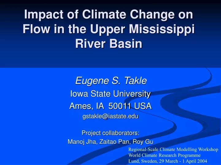
Impact of Climate Change on Flow in the Upper Mississippi River Basin. Eugene S. Takle Iowa State University Ames, IA 50011 USA gstakle@iastate.edu Project collaborators: Manoj Jha, Zaitao Pan, Roy Gu. Regional-Scale Climate Modelling Workshop World Climate Research Programme

E N D
Impact of Climate Change on Flow in the Upper Mississippi River Basin Eugene S. Takle Iowa State University Ames, IA 50011 USA gstakle@iastate.edu Project collaborators: Manoj Jha, Zaitao Pan, Roy Gu Regional-Scale Climate Modelling Workshop World Climate Research Programme Lund, Sweden, 29 March - 1 April 2004
If we have perfect predictability of global fields, how well can we downscale this predictability to stream flow at one point?
Outline • Domain and hydrological model (SWAT) • Calibration and validation • Observations -> stream flow • NNR -> RCM -> SWAT-> stream flow • GCM -> RCM -> SWAT-> stream flow • GHG -> GCM -> RCM -> SWAT -> stream flow • Stream flow vs. precipitation • Use for policy development For details see: Jha, M., Z. Pan, E. S. Takle, and R. Gu, 2003: Impacts of climate change on stream flow in the Upper Mississippi River Basin: A regional climate model perspective. Journal of Geophysical Research (in press).
Sub-Basins of the Upper Mississippi River Basin 119 sub-basins Outflow measured at Grafton, IL Approximately one observing station per sub-basin Approximately one model grid point per sub-basin
Soil Water Assessment Tool (SWAT) • Long-term, continuous watershed simulation model (Arnold et al,1998) • Daily time steps • Assesses impacts of climate and management on yields of water, sediment, and agricultural chemicals • Physically based, including hydrology, soil temperature, plant growth, nutrients, pesticides and land management
SWAT Output with Various Sources of Climate Input
Calibration of SWAT: Annual Stream Flow at Grafton, IL
Calibration of SWAT: Monthly Stream Flow at Grafton, IL
Validation of SWAT: Annual Stream Flow at Grafton, IL
Validation of SWAT: Monthly Stream Flow at Grafton, IL
RegCM2 Simulation Domain Red = global model grid point Green/blue = regional model grid points
Annual Stream Flow Simulated by SWAT Driven by the RegCM2 Regional Climate Model with NNR Lateral Boundary Conditions
Seasonal Stream Flow Simulated by SWAT Driven by the RegCM2 Regional Climate Model with NNR Lateral Boundary Conditions
Mean Monthly Precipitation Simulated by the RegCM2 Regional Climate Model with NNR Lateral Boundary Conditions
Hydrological component comparison • between RegCM2 and SWAT Note: All values are in mm per year averaged for 1980-1988 in NNR run.
Ten-Year Mean Monthly Stream Flow Generated by the RegCM2 Regional Climate Model Driven with HadCM2 Global Model Results for the Contemporary and Future Scenario (2040s) Climate
Ten-Year Mean Precipitation Generated by the RegCM2 Regional Climate Model Driven with HadCM2 Global Model Results for the Contemporary and Future Scenario (2040s) Climate
Errors in Simulated Stream Flow and Climate Change
Comparison of Simulated Stream Flow under Climate Change with Various Model Biases
Hydrologic Budget Components Simulated by SWAT under Different Climates All units are mm Yield is sum of surface runoff, lateral flow, and groundwater flow
Relation of Runoff to Precipitation for Various Climates
Regression Analysis: Stream Flow vs. Precipitation
Summary • RCM provides meteorological detail needed by SWAT to resolve sub-basin variability of importance to streamflow • There is strong suggestion that climate change introduces changes of magnitudes larger than variation introduced by the modeling process • Relationship of streamflow to precipitation might change in future scenario climates
Future Directions • Couple GCM, RCM, SWAT, Crop Model and Economic Model • Evaluate policy alternatives: • Impact of introducing conservation practices • Impact of introducing incentives • Hypothesis: It is possible to balance profitability with sustainability in an intensively managed agricultural area under changing climate through development of robust policy
GCM OBS RCM Crop Model NNR Climate Over UMRB Crop Yield SWAT Economic Model Soil Drainage Land-use Management Choices OBS Incentives Stream flow Soil Carbon Crop Production Water Quality Public Policy Evaluate Sustainability and Profitability
GCM OBS RCM Crop Model NNR Climate Over UMRB Crop Yield SWAT Economic Model Soil Drainage Land-use Management Choices OBS Incentives Stream flow Soil Carbon Crop Production Water Quality Public Policy Evaluate Sustainability and Profitability
Without sufficient resolution, it just doesn’t look right. EST&LM