Download
1 / 36
370 likes | 634 Vues
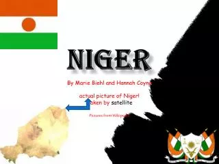
Niger National Maps. Scale: 1:10,000,000 Paste without resizing to maintain above scale. Limite d'Arrondissement. Legends - French. Legends - English. Zones d'economie alimentaire. Food Economy Zones. Ref: NR_C01_Country. Ref: NR_C02_Country. Ref: NR_C03_Country. Ref: NR_C04_Country.

E N D
NigerNational Maps Scale: 1:10,000,000 Paste without resizing to maintain above scale
Limite d'Arrondissement Legends - French Legends - English Zones d'economie alimentaire Food Economy Zones
Build your maps here Paste in a base map and add legends, text and other graphics. ‘Group’ all objects together and the map can be pasted into Word or other programs.
NigerProvinces Scale: 1:6,000,000 Paste without resizing to maintain above scale
Limite d'Arrondissement Legends - French Legends - English Zones d'economie alimentaire Food Economy Zones
NigerDistricts Scale: 1:3,000,000* Paste without resizing to maintain above scale *exceptions Arlit, Bilma, Tchirozerine
Limite d'Arrondissement Legends - French Legends - English Zones d'economie alimentaire Food Economy Zones
NigerLivelihood Zones Scale: 1:10,000,000 Paste without resizing to maintain above scale
Limite d'Arrondissement Legends - French Legends - English Zones d'economie alimentaire Food Economy Zones