Download
1 / 12
120 likes | 306 Vues
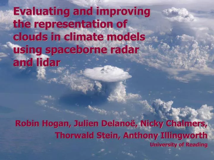
Robin Hogan, Julien Delanoë, Nicky Chalmers, Thorwald Stein, Anthony Illingworth University of Reading. Evaluating and improving the representation of clouds in climate models using spaceborne radar and lidar. Clouds in climate models.

E N D
Robin Hogan, Julien Delanoë, Nicky Chalmers, Thorwald Stein, Anthony Illingworth University of Reading Evaluating and improving the representation of clouds in climate models using spaceborne radar and lidar
Clouds in climate models But all models tuned to give about the same top-of-atmosphere radiation 14 global models (AMIP) 0.25 0.20 0.15 Vertically integrated cloud water (kg m-2) The properties of ice clouds are particularly uncertain 0.10 0.05 90N 80 60 40 20 0 -20 -40 -60 -80 90S Latitude • Via their interaction with solar and terrestrial radiation, clouds are one of the greatest sources of uncertainty in climate forecasts • But cloud water content in models varies by a factor of 10 • Need instrument with high vertical resolution…
Spaceborne radar, lidar and radiometers The A-Train • NASA • 700-km orbit • CloudSat 94-GHz radar (launch 2006) • Calipso 532/1064-nm depol. lidar • MODIS multi-wavelength radiometer • CERES broad-band radiometer • AMSR-E microwave radiometer EarthCare • EarthCARE (launch 2013) • ESA+JAXA • 400-km orbit: more sensitive • 94-GHz Doppler radar • 355-nm HSRL/depol. lidar • Multispectral imager • Broad-band radiometer • Heart-warming name
What do CloudSat and Calipso see? • Radar: ~D6, detects whole profile, surface echo provides integral constraint • Lidar: ~D2, more sensitive to thin cirrus and liquid clouds but attenuated Cloudsat radar CALIPSO lidar Insects Aerosol Rain Supercooled liquid cloud Warm liquid cloud Ice and supercooled liquid Ice Clear No ice/rain but possibly liquid Ground Target classification Delanoe and Hogan (2008, 2010)
Example ice cloud retrievals Lidar observations Visible extinction Lidar forward model Ice water content Radar observations Effective radius Radar forward model Delanoe and Hogan (2010)
Evaluation using CERES TOA fluxes • Radar-lidar retrieved profiles containing only ice used with Edwards-Slingo radiation code to predict CERES fluxes • Small biases but large random shortwave error: 3D effects? Longwave Bias 0.3 W m-2, RMSE 14 W m-2 Shortwave Bias 4 W m-2, RMSE 71 W m-2 Nicky Chalmers
A-Train versus models • Ice water content • 14 July 2006 • Half an orbit • 150° longitude at equator Delanoe et al. (2010)
Evaluation of gridbox-mean ice water content • Both models lack high thin cirrus • Met Office has too narrow a distribution of in-cloud IWC • ECMWF lacks high IWC values; using this work, ECMWF have developed a new scheme that performs better In-cloud mean ice water content
Cloud structures in particular locations Mid-level outflow African easterly jet Saharan air layer Moist monsoon flow • How can we identify & cure errors in modelling African convection? • Unified Model simulations at a range of resolutions • Evaluate using A-Train retrievals • Also run “CloudSat simulator” to obtain radar reflectivity from model Location of African easterly jet Parker et al. (QJRMS 2005)
Frequency of occurrence of reflectivity greater than –30 dBZ Plot versus “dynamic latitude” (latitude relative to location of AEJ) Anvil cirrus too low in model Little sign of mid-level outflow Met Office 40-km model versus CloudSat Unified Model CloudSat (~01.30 LT) CloudSat (~13.30 LT) Thorwald Stein
Note increase from 38 to 70 levels Anvil cirrus now at around the right altitude Slightly more mid-level cloud Large overestimate of stratocumulus (and too low) Met Office 4-km model versus CloudSat Unified Model CloudSat (~01.30 LT) CloudSat (~13.30 LT) Thorwald Stein
Ongoing A-Train and EarthCARE activity • Preparation for EarthCARE • Professor Anthony Illingworth is the European lead scientist • Professor Robin Hogan is leading the European development of algorithms exploiting the synergy of instruments on EarthCARE: novel variational retrieval methods for clouds, precipitation and aerosol being developed for EarthCARE and tested on A-Train data • Past and future projects • Radiative properties of clouds from the A-Train (NERC): Nicky Chalmers (PhD) • Evaluation of models using CloudSat and Calipso (NERC): Julien Delanoe (finished) • High-resolution model evaluation using CloudSat (NERC): Thorwald Stein • Lidar retrievals of liquid clouds (NCEO): Nicola Pounder • Synergy algorithms for EarthCARE (NCEO): Chris Westbrook • Radiative Transfer for EarthCARE (ESA): Julien Delanoe then Chris Westbrook • Variational Synergy algorithms for EarthCARE (ESA): not yet started • Future challenges • Assimilate radar and lidar observations into ECMWF model using forward models developed at University of Reading • Retrieve global cloud fields that are consistent with the radiative measurements: can diagnose not only what aspects of clouds are wrong in models, but the radiative error associated with each