Download
1 / 53
550 likes | 730 Vues
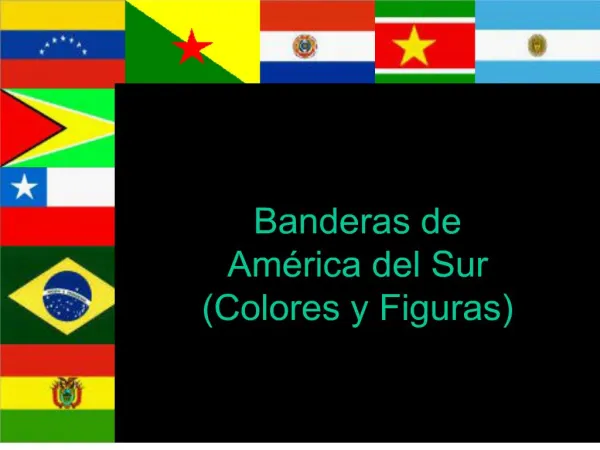
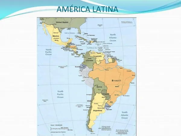
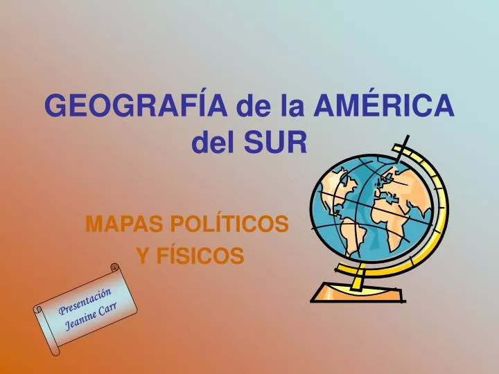
GEOGRAF Í A de la AM É RICA del SUR. MAPAS POL Í TICOS Y F Í SICOS. Presentaci ó n Jeanine Carr. ¡ Un d ía, este sitio será terminado!. ¡ Paciencia!. Las capitales hispanohablantes. Iguaçu Falls - Brazilian side. La Cascada m ás ancha del mundo. Argentinean side. La Cascada de Igua çu

E N D
GEOGRAFÍA de la AMÉRICAdel SUR MAPAS POLÍTICOS Y FÍSICOS Presentación Jeanine Carr
¡Un día, este sitio será terminado! ¡Paciencia!
Las capitales hispanohablantes
Iguaçu Falls - Brazilian side La Cascada más ancha del mundo
La Cascada de Iguaçu La Cascada más ancha del mundo
ARGENTINA • Cabildo (Old city political gathering place) in Buenos Aires
La Casa Rosada – Buenos Aires The Casa Rosada, or Pink House, is the Presidential Headquarters. It was painted pink as a compromised between two 19th century political factions, one whose color was red, the other's white.
La Sra. Carr en Buenos Aires, la Plaza de Mayo, la Casa Rosada al fondo
Buenos Aires La Catedral The Shrine to José de San Martín El Libertador Dentro de la Catedral
Ecuador US dollar now main unit of currency Mitad del Mundo.
Los Galápagos Una foca Blue footed boobies Masked boobies Un galápago
Peru Train from Cuzco - la capital del Imperio de los Incas
Yaguas an indigenous people of South America, live in eastern Ecuador and the adjoining portions of northern Peru on the lower east slopes of the Andes in the basins of the Marañón, Santiago, and upper Pastaza rivers. They are a vigorous people who remained wholly independent for centuries, successfully resisting attempts at conquest by the Incas in the pre-Spanish period and thwarting efforts at settlement and Christianization made by Spanish missionaries during the 16th century. They continued to resist change in their way of life well into the modern era.
Punta del Estean international resort city the town's most famous landmark