Download
1 / 11
110 likes | 228 Vues
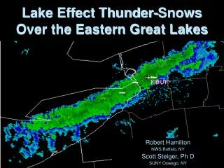
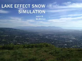
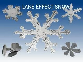
Development of an eastern Great Lakes sub-regional WRF ensemble for lake effect snow prediction. Outline. Background Why should we do this? What have we done What will be done. Background… The Eastern Great Lakes Lake Effect Snow Project (EAGLLES). A field study scheduled for ???

E N D
Development of an eastern Great Lakes sub-regional WRF ensemble for lake effect snow prediction
Outline • Background • Why should we do this? • What have we done • What will be done
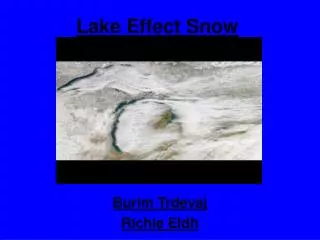
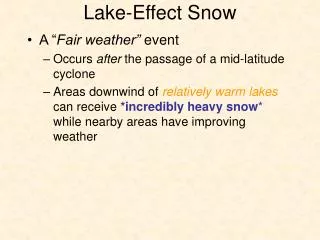
Background… The Eastern Great Lakes Lake Effect Snow Project (EAGLLES) • A field study scheduled for ??? • Looking for operational forecast challenges related to lake effect snow forecasting • The concept of sub-regional ensembles had been proposed (Rich) • Proposal – to develop a sub-regional ensemble for use operationally, and for use in the EAGGLES field study
Why should we do this? • Several NWS Offices around the eastern Great Lakes utilize locally run meso-scale models (workstation Eta / WRF). • Given that an ensemble is already available, we should explore utilizing the power of ensemble prediction techniques in lake effect snow environments (identify high confidence vs. low confidence solutions). • Share what works and what does not work.
Current model configurations Note: BUF is running the KF CPS, BTV is running BMJ.
Web Interfaces • http://198.206.43.25/wrf/index.php (examine individual model runs) • http://www.lightecho.net/scripts/all_version5.php?image=Wx (side by side comparisons)
On-going case study (proof of concept) • CTP and BGM are collaborating on a few case study from last winter using this data. • Justin Arnot will use GRADS to display ensemble products from 2 LES events, plus a synoptic snow event.
What’s next • Finish proof of concept case studies (CTP / BGM / CLE) Add runs from BUF, BTV, ALY? • Get a limited subset of grib data from the models into AWIPS (CLE). • Continue development of ensemble graphics (means, probabilities) (CTP / BGM / CLE) • More models into the system (ALY) • Assimilate results from COMET project with SUNY Oswego (BUF) • Forecaster evaluation and feedback (All offices).