Download
1 / 18
180 likes | 347 Vues
Weather Briefing for The 2013 Presidential Inauguration. NOAA / National Weather Service Baltimore/Washington Weather Forecast Office January 21, 2013 1900 UTC / 2 :00 P M EST Steven Zubrick Science and Operations Officer. Outline. Weather Hazards Current Observations/Radar

E N D
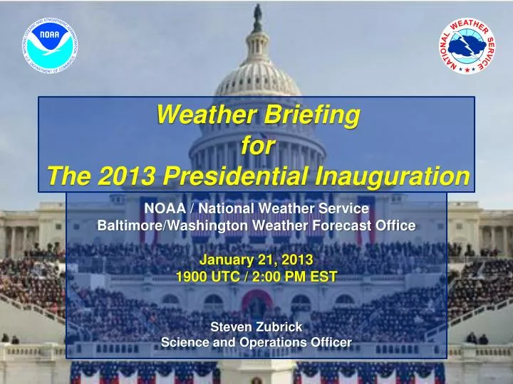
Weather BriefingforThe 2013 Presidential Inauguration NOAA / National Weather Service Baltimore/Washington Weather Forecast Office January 21, 2013 1900 UTC / 2:00 PM EST Steven Zubrick Science and Operations Officer
Outline • Weather Hazards • Current Observations/Radar • Forecast Overview • Forecast Tables and Graphs • Reagan and Dulles METAR & TAF • Illumination Data • Space Weather • Dispersion Modeling • Summary of Weather Hazards • Briefing Schedule NWS Baltimore/Washington Weather Forecast Office
Weather Hazards1600 UTC 21 Jan – 1200 UTC 22 Jan 2013for Washington, D.C. 30% chance of a snow squall (Sometime between 5:00 PM and 09:00 PM today) • Arctic cold front may produce a snow squall that could produce up to 1 inch of snow. Gusty Winds (30 mph tonight, 35 mph Tuesday) • Small Craft Advisory for the Potomac starts at Noon today. • Wind chills will drop below 20 after midnight, and will fall to the upper single digits by dawn Tuesday. NWS Baltimore/Washington Weather Forecast Office
Regional Radar/Surface Mosaic 1800 UTC 21 Jan 2013 NWS Baltimore/Washington Weather Forecast Office
Regional Visible Satellite1745 UTC 21 Jan 2013 NWS Baltimore/Washington Weather Forecast Office
Forecast Overviewfor Washington, D.C. Normals: High: 43F Low: 28F NWS Baltimore/Washington Weather Forecast Office
Weather Element Forecastfor Washington, D.C. NWS Baltimore/Washington Weather Forecast Office
KDCA METAR & TAFRonald Reagan National Airport METAR METAR KDCA 211752Z 18006KT 10SM BKN100 06/M07 A2996 RMK AO2 SLP146 T00561067 10056 20006 58048 TAF KDCA 211739Z 2118/2218 17011KT P6SM OVC080 FM212200 22013KT P6SM OVC070 FM212300 27015KT P6SM OVC060 FM220300 30019G27KT P6SM SCT200 NWS Baltimore/Washington Weather Forecast Office
KIAD METAR & TAFDulles International Airport METAR METAR KIAD 211752Z 16008KT 10SM OVC090 04/M06 A2993 RMK AO2 SLP138T00391061 10039 21011 58048 TAF KIAD 211739Z 2118/2224 18011KT P6SM OVC080 FM212000 22012KT P6SM OVC060 FM212200 28015G23KT P6SM BKN050 FM220300 30018G27KT P6SM SCT150 FM222300 30011KT P6SM FEW250 NWS Baltimore/Washington Weather Forecast Office
Illumination Data Washington, D.C. NWS Baltimore/Washington Weather Forecast Office
Space Weather Summary/Forecast 1640 1660 1660 1644 1654 1654 1638 1641 1658 1658 • Summary/Forecast Details: • Region 1654 continues to decay and will begin to rotate off the disk on 21 January. • Currently quiet across S and G scales • Overall threat of significant space weather activity is low 1642 Geomagnetic Storms Solar Flare Radio Blackouts Joint NOAA/USAF Space Weather Briefing Jan. 21, 2013 - 1800 UTC
Phenomena Reference/Impacts • Solar Flare Radio Blackout (R Scale): • No advance warning • Effects lasts for 10’s of minutes to several hours • Impacts High Frequency (HF) communication on the sunlit side of the Earth • First indication significant S and G scale activity may be possible • Solar Radiation Storm (S Scale): • Warnings possible on the minutes to hours time scale • Elevated levels can persist for several days • Impacts to the health and operation of satellites and International Space Station operations and crew • Impacts High Frequency communication in the polar regions, affecting commercial airline operations • Geomagnetic Storm (G Scale): • Advance notice possible given coronal mass ejection (CME) transit times from Sun to Earth range from just under a day to several days (CMEs being the main driver of significant storms) • In extreme storms, impacts to power grid operations and stability • Impacts to Global Positioning System (GPS) accuracy and availability • Driver of aurora; severe to extreme storms may cause aurora to be visible over most of the lower 48 Joint NOAA/USAF Space Weather Briefing Jan. 21, 2013 - 1800 UTC Complete NOAA Space Weather Scale information available online at: http://www.swpc.noaa.gov/NOAAscales/
HYSPLIT DISPERSION MODEL 12Z NAM 1/21/13 Release at 2300Z 21 Jan 2013 (NAM) Release at 1700Z 21 Jan 2013 (NAM) NWS Baltimore/Washington Weather Forecast Office
NOAA/NWSBaltimore/Washington Always up to date http://www.erh.noaa.gov/washington NWS Baltimore/Washington Weather Forecast Office
Summary • Inauguration Day: • Mostly cloudy and mild, but cooler than yesterday • Turning cold in the evening • 30% chance of a snow squall after 5 P.M. • This could produce a quick accumulation of snow from a dusting to one-half inch. • Monday Night: • 30% chance of a snow squall remains until 10 P.M. • Then clearing and cold • Gusty northwest winds to 30 mph • Lows by dawn in the lower 20s • Wind chills by dawn in the upper single numbers NWS Baltimore/Washington Weather Forecast Office
Briefing Schedule • T-7 days: Tue Jan 15 1500 EST • T-6 days: Wed Jan 16 1500 EST • T-4 days: Thu Jan 17 1500 EST • T-3 days: Fri Jan 18 1500 EST • T-2 days: Sat Jan 19 1500 EST • T-1.5 Day: Sat Jan 19 2200 EST • T-1 Day: Sun Jan 20 1500 EST • T-14 hours: Sun Jan 20 2200 EST • T-12 hours: Mon Jan 21 0000 EST • T-9 hours: Mon Jan 21 0300 EST (if needed) • T-6 hours: Mon Jan 21 0600 EST • T-3 hours: Mon Jan 21 0900 EST • T-1 hour: Mon Jan 21 1100 EST • T+2 hour: Mon Jan 21 1400 EST • T+5 hour: Mon Jan 21 1700 EST • Other times / dates as needed or requested NWS Baltimore/Washington Weather Forecast Office
Next Scheduled Briefing 2200 UTC/ 5:00 PM EST Mon 21 Jan 2013 Thank you for your participation! NWS Baltimore/Washington Weather Forecast Office