Download
1 / 14
140 likes | 221 Vues
Is Polar Arctic E-Navigation possible?. Senior Adviser Lars Giske Norwegian Spacecentre lars.giske@spacecentre.no NNF eNavConf 2007. Is Polar Arctic E-Navigation possible?. Geography Infrastructure Solutions. The Arctic challenge.

E N D
Is Polar Arctic E-Navigation possible? Senior Adviser Lars Giske Norwegian Spacecentre lars.giske@spacecentre.no NNF eNavConf 2007 Norsk Romsenter – www.romsenter.no
Is Polar Arctic E-Navigation possible? • Geography • Infrastructure • Solutions Norsk Romsenter – www.romsenter.no
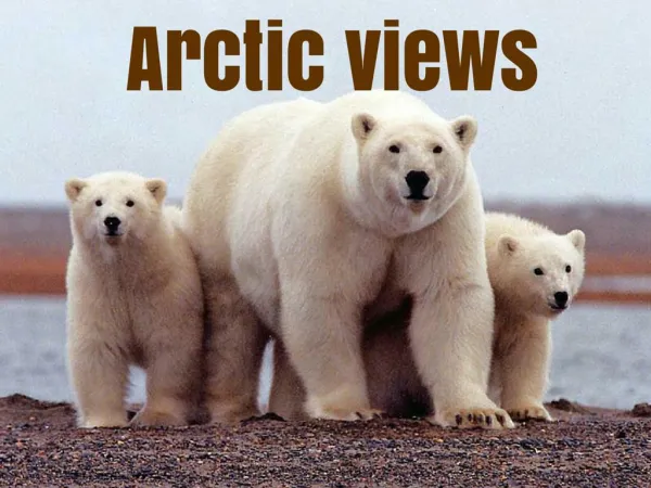
The Arctic challenge • 25 % of the worlds oil and gas reserves may be in the arctic • Increased intercontinental flights over the poles • Increased ship traffic • Environmental monitoring for global warming • Scientific and research activity • Search and Rescue Norsk Romsenter – www.romsenter.no
Geography • Remote • Global warming • Ice + ice flow • Cold and dark in winter • Infrastructure Norsk Romsenter – www.romsenter.no
Geography • Global warming • Ice situation mid august 2007 • Northern sea routes • Oil & Gas Exploration • Estimate of 25% reserves in the Arctic • Fisheries Source; NOAA/University of Illinois at Urbana-Champaign. Norsk Romsenter – www.romsenter.no
Infrastructure • What infrastructure where? • Radionavigation • GNSS • GPS fully operational • GLONASS fully operational by 2009 • Galileo 2013 • DGNSS and reference stations for integrity? • EGNOS near future only ECAC area Norsk Romsenter – www.romsenter.no
Infrastructure navigation Northern Coverage? Norsk Romsenter – www.romsenter.no
Galileo status • Timescale • IOV until mid 2009 • Deployment from 2010 • FOC 2013 • ESA deliver operational system including all 30 satellites 2003 2004 2005 2006 2007 2008 2009 2010 2011 2012 2013 Concession process GALILEO Concessionaire GALILEO Research and Development activities DEVELOPMENT and VALIDATION DEPLOYMENT OPERATIONS and MAINTENANCE Norsk Romsenter – www.romsenter.no
Infrastructure communication • Satcom • GEO COVERAGE? • Commercialy driven • MEO/LEO Norsk Romsenter – www.romsenter.no
Indicative coverage in North Theoretical limit Geo 5°elevation
Vizada satellite coverage 10-5-0 grader elevation NSS5C IS801C IS907Ku IS704C IS1002C&Ku
Infrastructure • Comms • Molniya HEO • Iridium however limited data capacity • Shore based terrestial limited coverage Norsk Romsenter – www.romsenter.no
Infrastructure HMetoc • Hydrography • Limited ENC coverage • Ice special products • Slowly developing • Meteorological data • Ocenanographic data • Part of IHO work for marine information overlay data and services Norsk Romsenter – www.romsenter.no
Is Polar Arctic E-Navigation possible? • Short term <2015 • Some elements in place • Long term <2015 • May be Norsk Romsenter – www.romsenter.no