Download
1 / 23
230 likes | 364 Vues
An overview of the organizations and activities that drive the development of National Spatial Data Infrastructure standards. Learning Objectives. After completing this lesson, the student can: Explain the difference between a de jure standard and a de facto standard

E N D
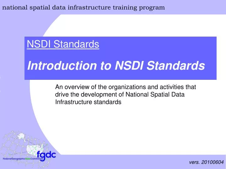
An overview of the organizations and activities that drive the development of National Spatial Data Infrastructure standards
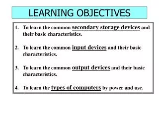
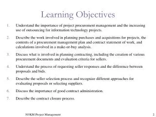
Learning Objectives • After completing this lesson, the student can: • Explain the difference between a de jure standard and a de facto standard • Discuss the benefits of implementing standards • Identify key organizations that affect the development of NSDI standards • Explain functional relationships among standards organizations • Refer to the federal policies that affect geospatial standards development • Describe the scope of FGDC standards program of work • Identify the communities to which FGDC standards shall or may apply • Participate in voluntary consensus standards bodies • Access standards and information about standards organizations
What is a standard? • Definition of ‘Standard’ • [de jure] Standards are documented agreements containing technical specifications or other precise criteria to be used consistently as rules, guidelines, or definitions of characteristics to ensure that materials, products, processes, or services are fit for their purposes - from ISO (International Organization for Standardization) • Contrast with de facto standards, which have achieved recognition not through consensus, but through market dominance
What are the benefits of standards? • The use of standards • facilitates the development, sharing, and use of geospatial data • lowers technical barriers to trade and supports the missions of organizations including: • World Trade Organization (WTO) • North American Free Trade Agreement (NAFTA)
Technical Barriers to Trade • WTO Technical Barriers to Trade (TBT) Agreement • Requires that technical regulations “are not prepared, adopted or applied with a view to, or with the effect of, creating unnecessary obstacles to trade” • Encourages members to use international standards for national regulations, unless “their use would be ineffective or inappropriate” to fulfill a given policy objective • Encourages members to participate in the work of international bodies for the preparation of standards and guides or recommendations for conformity assessment procedures
Technical Barriers to Trade • NAFTA TBT Language • Prohibits standards-related measures that create an unnecessary obstacle to trade between the U.S., Canada, and Mexico. • Directs the U.S., Canada, and Mexico to use international standards, except where these standards are ineffective or inappropriate for fulfilling legitimate objectives, due to particular climatic, geographical, technological or infrastructural factors, and scientific justification. • Permits the U.S., Canada, and Mexico to adopt, maintain, or apply measures that result in a higher level of protection than with an international standard.
Standards Organizations • International Standards Organizations • International Organisation for Standards (ISO) ISO is a network of national standards bodies through which international voluntary consensus standards are developed. The national standards bodies may be either governmental or non-governmental organizations • ISO Technical Committee 211 supports standardization of geographic information • Open Geospatial Consortium (OGC) consortium of government, private, non-profit and academic organizations dedicated to the development of publicly available interface specifications that ‘geo-enable’ the Web, wireless and location-based services
Standards Organizations • US National Standards Organizations (non-federal) • American National Standards Institute (ANSI) U.S. standards body that oversees the creation, promulgation and use of norms and guidelines that impact nearly every sector • InterNational Committee for Information Technology Standards (INCITS) a non-governmental organization sponsored by the Information Technology Industry Council (ITI) focused upon Information and Communications Technologies standards • INCITS Technical Committee L1 adopts or adapts information technology standards and developing standards used in creating, defining, describing, and processing digital geographic data
Standards Organizations • U.S. Federal Standards Organizations • Federal Geographic Data Committee (FGDC) Federal interagency committee charged with the leadership, development, implementation, and review of spatial data standards • National Institute for Standards and Technology (NIST) Non-regulatory federal agency that coordinates standards activities with responsible government agencies to use voluntary standards to the extent practicable, to participate appropriately in their development, and to ensure that they meet Federal agency needs
Is U.S. member body of ISO Other consortia: OMG, W3C, OASIS, etc. Is a Technical Committee of ISO Technical Committee (TC) 211 Is liaison with Open Geospatial Consortium Has cooperative agreement with Accredits U.S. TAG to Has MOU with Chairs American National Standards Institute (ANSI) ICSP NIST Reports to Is accredited by FGDC members are members of InterNational Committee on Information Technology Standards (INCITS) OMB Sets Policy For Is a Subcommittee of Is a voting member of FGDC INCITS Technical Committee L1 ANSI Accredited Standards Development Organization Other Standards Development Organizations Federal Standards Functional Relationships Among Standards Organizations
Functional Relationships Among Standards Organizations • Functional relationships • ISO TC 211 focuses on abstract specifications, design framework, and international political consensus • The Open Geospatial Consortium specializes in extending the abstract model into implementation specifications • FGDC and INCITS Technical Committee L1 support the development of thematic data content standards. • Organizations such as the Internet Engineering Task Force (IETF) and World Wide Web Consortium (W3C) develop the Web infrastructure that support online geographic information applications
US Federal Standards Policy • OMB Circular A-119 • directs Federal agencies to: • use voluntary consensus standards in lieu of government-unique standards whenever possible • participate in voluntary consensus standards bodies • defines a voluntary consensus standards body as abiding by the principles of: • openness • balance of interest • due process that gives fair consideration to all objections • consensus, that is, general agreement, but not necessarily unanimity
FGDC-related Federal Directives • OMB Circular A-16 Revised (August 19, 2002)directs Federal agencies to: • use FGDC data standards, FGDC Content Standard for Digital Geospatial Metadata, and other appropriate standards • develop and implement relevant FGDC standards for NSDI data themes • EO 12906/13286 directs the FGDC to: • develop standards for implementing the NSDI with non-Federal organizations, consistent with OMB Circular No. A–119 and other applicable law and policies
FGDC Standards Program of Work • Twenty-two endorsed standards including: • Data Exchange and Integration • Geospatial Metadata ■Spatial Data Transfer • Positional Accuracy■US National Grid • Cartography and Classifications • Vegetation ■Wetlands & Deep Water Habitats • Geological Symbolization • Thematic Content • Cadastral ■Soil ■Utilities • Remote Sensing Swath ■Orthoimagery
FGDC Standards Program of Work • Twenty-one standards in development including: • Data Exchange and Integration • ISO 19115 Geospatial Metadata • Cartography and Classifications • Biological ■Vegetation (rev) ■Riparian and Wetland • Geologic Model and Symbolization • Thematic Content • Elevation■Trails■Hydrography • Earth cover■Shoreline■Gov’t Boundary • Facilities■Street Address
Who participates in the development of FGDC Standards? • Standards are developed by: • FGDC Thematic Subcommittees • FGDC Working Groups • Comprised of representatives from Federal agencies and FGDC recognized stakeholder groups who share a common interest in • specific types of geospatial data or • cross-cut or affect several data theme-based subcommittees
Who participates in the development of FGDC Standards? • Standards are reviewed by: • FGDC Standards Working Group Representatives from Federal agencies and FGDC recognized stakeholder groups with interest in the development of geospatial data standards • Public Review A formal, multistage process in which the draft standard is made available for review by the public and comments are submitted using a standardized, formatted table
Who uses FGDC standards? • Federal Agencies • OMB Circular A-16 states, “Federal agencies collecting or producing geospatial data, either directly or indirectly (e.g. through grants, partnerships, or contracts with other entities), shall ensure, prior to funds for such activities, that data will be collected in a manner that meets all relevant standards adopted through the FGDC process.”
Who uses FGDC standards? • Non-federal Geospatial Data Developers • Non-Federal agencies are encouraged, not required, to use FGDC standards to promote data sharing, except as noted above • Many state, local, tribal and non-U.S government agencies have adopted and implemented FGDC standards
For more information • Related Websites: • WTO - Technical barriers to trade, http://www.wto.org/english/tratop_e/tbt_e/tbt_info_e.htm • NAFTA Chapter Nine: Standards-Related Measures, http://www.mac.doc.gov/nafta/chapter9.html • EO 12906/13286 and OMB Circulars A-16 and A-119 http://www.fgdc.gov/policyandplanning • FGDC Standards program of work http://www.fgdc.gov/standards/projects/FGDC-standards-projects/index_html
For more information • Related Websites: • Voluntary standards organizations http://www.fgdc.gov/standards/organization/external-standards-organizations • FGDC Standards publications http://www.fgdc.gov/standards/standards_publications
Summary • This is the conclusion of: Introduction to NSDI Standards. • You should be able to: • Explain the difference between a de jure standard and a de facto standard • Discuss the benefits of implementing standards • Identify key organizations that affect the development of NSDI standards • Explain functional relationships among standards organizations • Refer to the federal policies that affect geospatial standards development • Describe the scope of FGDC standards program of work • Identify the communities to which FGDC standards shall or may apply • Participate in voluntary consensus standards bodies • Access standards and information about standards organizations
Additional Lessons The FGDC invites you to visit http://www.fgdc.gov/training/nsdi-training-program/online-lessons for additional lessons.