Download
1 / 9
90 likes | 247 Vues
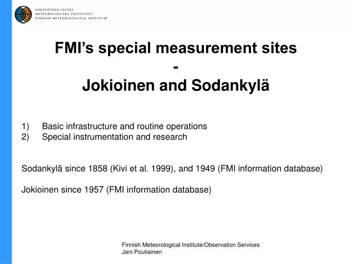
FMI’s special measurement sites - Jokioinen and Sodankylä. Basic infrastructure and routine operations Special instrumentation and research Sodankylä since 1858 (Kivi et al. 1999), and 1949 (FMI information database) Jokioinen since 1957 (FMI information database).

E N D
FMI’s special measurement sites-Jokioinen and Sodankylä Basic infrastructure and routine operations Special instrumentation and research Sodankylä since 1858 (Kivi et al. 1999), and 1949 (FMI information database) Jokioinen since 1957 (FMI information database) Finnish Meteorological Institute/Observation Services Jani Poutiainen
All sites: SODANKYLÄ JOKIOINEN
JOKIOINEN - Routine observations 6049'N, 2330'E, 104 m asl
Pallas Sodankylä Luosto • -”Northern dimension” • -Location: about 100 km north of the • Arctic Circle, 5 km from population • centre (<10 000) • -Scarcely populated area • -6722'N, 2639'E, 178 m asl • Observatory • Other measurements • Nearby special measurement sites: • Luosto weather radar and measurement platform • Pallas Global Atmopheric • Watch station Sodankylä – Arctic Research Centre
Measurements:- Synoptic (manual/automatic) and hourly (automatic) observations - Radio soundings (also O3, aerosol, H20 and radioactivity sondes)- Radiation measurements (eg. global, diffuse, reflected, direct, uv, aod)- Ground temperature measurements- Ozone satellite data centre (GOMOS instrument)- UV calibration laboratory- SAOZ instrument: O3, NO2 and OClO columns- Micro-wave radiometer laboratory - Aerosol lidar and ceilometer- Atmospheric electricity: current density, electric field, electrical conductivity- Radioactivity measurements (aerosol beta-activity, lead-210 and beryllium-7 samples)- Air quality measurements; surface O3 and deposition samples for measurement of some inorganic ions and pH.
Other measurements:- Micrometeorological mast (eg. fluxes, profiles, ground and surface data, air quality)- Sodar (current campaign)- C-band weather radarMeasurement programs and campaigns:CANDIDOZ - Chemical and Dynamical Influences on Decadal Ozone ChangeFUVIRC - Finnish Ultraviolet International Research Center (Hosted by Thule Institute) LAPBIAT - Lapland Atmosphere-Biosphere facility (Hosted by Sodankylä Geophysical Observatory) QUOBI - Quantitative Understanding of Ozone losses by Bipolar Investigations (Hosted by Norwegian Institute for Air Research) LAUTLOS-WAVVAP - LAPBIAT Upper Troposphere Lower Stratosphere Water Vapor Validation Project OZONE SATELLITE DATA CENTRE's projects COORDINATED ENHANCED OBSERVING PERIOD (CEOP)NOAA ALBEDO PRODUCT VALIDATIONsee: http://fmiarc.fmi.fi
PLATFORM IN LUOSTO AND PALLAS GAW STATION: see: http://fmigaw.fmi.fi/