Download
1 / 20
220 likes | 587 Vues
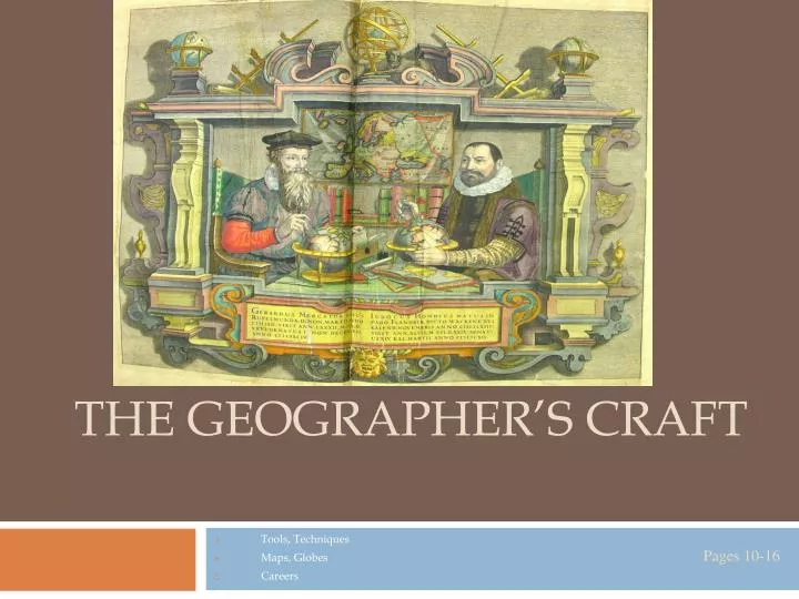
The Geographer’s Craft. Tools, Techniques Maps, Globes Careers. The Geographer as Scientist. Geographers are scientists. They form a hypothesis, collect data, test ideas, and develop spatial perspectives of the world (think about Project One connections)

E N D
Pages 10-16 The Geographer’s Craft Tools, Techniques Maps, Globes Careers
The Geographer as Scientist • Geographers are scientists. They form a hypothesis, collect data, test ideas, and develop spatial perspectives of the world (think about Project One connections) • Scientists, Geographers use the scientific method. This is just another accepted measure of information, not unlike latitude and longitude – to map known information. Pages 10-16
The Geographer as Scientist:Collecting Information. • The first step is to collect information or data. Where does a geographer get information? • Pictures from space, air (Remote Sensing) • The Printed Word (books, journals, interviews), census information is also important. • Where else can geographers collect information? Expeditions, observations, instruments Pages 10-16
The Geographer as Scientist:Collecting Information. Remote Sensing Examples: Banda Aceh, Indonesia Pages 10-16
The Geographer as Scientist:Collecting Information. Global Positioning System: G.P.S. Pages 10-16
The Geographer as Scientist:Analyzing Data • After collecting information, geographers must analyze it. • This means, studying the information looking for patterns – causes – consequences of the information (Refer to Project One process) Pages 10-16
The Geographer as Scientist:Analyzing Information. http://www.nationalatlas.gov/natlas/Natlasstart.asp Pages 10-16
The Geographer as Scientist:Displaying the Data • How does the geographer show results? A decision is made about what map, diagram, graph, table, or descriptive paragraph to use. • Maps are representations of the earth on a flat surface. Maps have changed over time. • Theme maps put together can show spatial relationships of more than one factor. (Climate and Population Density) G.I.S. (Geographic Information Systems) • All Maps are distorted (changed from original or real shape) Pages 10-16
The Geographer as Scientist:Displaying the Data Thematic Maps Thematic maps are maps that depict special subjects or features of an area. Pages 10-16
The Geographer as Scientist:Displaying the Data Thematic Maps Thematic maps are maps that depict special subjects or features of an area. Pages 10-16
The Geographer as Scientist:Displaying the Data Thematic Maps Thematic maps are maps that depict special subjects or features of an area. Pages 10-16
The Geographer as Scientist:Displaying the Data • Globes are the most accurate method of showing the earth. They are scale models of the actual earth. (1:42,000,000) • Globes show great circle routes (shortest distance on earth) better than maps. • Still, you can only see half the earth at one time, they are bulky, and do not show enough detail. Pages 10-16
The Geographer as Scientist:Displaying the Data • The geographer is constantly faced with the question of how to present spatial information clearly and accurately. All maps have strengths and weaknesses. The geographer has to decide what works best for his/her information. • What map to use? • Conformal Maps: Maps that maintain true shape (Mercator Map, Project One) • Equal-Area: Maps that show correct size – problems near edge (Goode’s Projection) • Equidistant: Maps that show correct distance, usually large scale maps 1:4200 or 1:9000 or 1:250 Pages 10-16
The Geographer as Scientist:Displaying the Data Robinson Projection It combines the good parts of several other map projections, resulting in minimal distortion of most of the Earth's land masses. Antarctica is still greatly distorted and the northernmost land masses are somewhat distorted, but this projection is commonly considered the best map representation of the size and shape of the Earth's landforms. Mercator Projection This is the most commonly-seen map projection, although it is far from the most accurate. The landforms on this map become increasingly distorted the farther you get from the equator. The Mercator map works well for navigational purposes and is a commonly-used "generic" map that you'll see in magazines, history books, and many other places. Pages 10-16
The Geographer as Scientist:Displaying the Data Goode's Homosoline Projection Sometimes maps will be interrupted, or divided like this one into segments in order to reduce distortion and stretching. Goode's interrupted homolosine projection, as shown here, reduces distortion but breaks the oceans and Antarctica into pieces. This is an equal-area map because it minimizes distortion in the size of the landforms. Still, you can notice an obvious distortion in the size of Antarctica Pages 10-16
The Geographer as Scientist:Displaying the Data – Map Components TODALSIGS Title Grid Lake – 3B MacMurray – 2A Index Orientation Legend Date, Author Scale Source Pages 10-16
The Geographer as Scientist:Displaying the Data – Graphs, Diagrams, and Tables Pages 10-16
The Geographer’s Craft • The tools of the geographer are varied. The discipline will require your willingness to use many different tools for defining and understanding your world. • The people that use geography in their work include real estate officers, government officials, engineers, geologists, biologists, artists, writers, city planners, students, and many more… Pages 10-16
The Geographer’s Craft • Places to find information: • Tools: • Globes: • Maps: • Projections: • Other Graphic Tools: Pages 10-16