Download
1 / 9
90 likes | 228 Vues
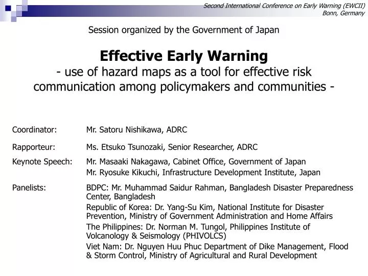
Second International Conference on Early Warning (EWCII) Bonn, Germany. Effective Early Warning - use of hazard maps as a tool for effective risk communication among policymakers and communities -. Session organized by the Government of Japan. Risk Perception Gap. Recognized Risk.

E N D
Second International Conference on Early Warning (EWCII)Bonn, Germany Effective Early Warning- use of hazard maps as a tool for effective risk communication among policymakers and communities - Session organized by the Government of Japan
Risk Perception Gap Recognized Risk Actual Risk Risk Risk Big Gap Need for Generating Realistic Disaster Scenario
Less Community Awareness Development of Early Warning Tech. Volcanic Eruption Warning! Which way to be taken? Flood Warning! What to do? Where to go? Tsunami Warning!
Hazard Mapping as a Tool for Effective Early Warning + Safe Evacuation Route Early Warning = Understanding of Hazardous Areas Appropriate Risk Awaweness of Local Communities Safe Evacuation
Risk Analysis Effective Use of Hazard Map Develpment of Early Warning Appropriate Risk Awareness of Local Communities Risk Communication Using Local Knowledge and Structure Reduce Damage by Disasters
Hazard Mapping is a tool for Effective Risk Communication = Effective Early Warning
“Risk Awareness” makes the difference. Ratio of Evacuation Approximately One Hour 1.5 times Those who did not see the Hazard Map 30% 20% Those who sawthe Hazard Map 10% 0% Those who did not see the Hazard Map Those who sawthe Hazard Map Advice to evacuate Order to evacuate Ratio of Evacuation Six hours after advice to evacuate Peak of Evacuation after advice to evacuate Source: ”Survey Report on Local Residents’ Reactions in the Rainstorm in Koriyama at the End of August 1998”, Katada Laboratory, Faculty of Engineering, Gunma Univ.
“Risk Awareness” makes the difference. - Bangladesh’sLeading Example - • In 1970, half a million people died in one cyclone • Cyclone Preparedness Programme safely evacuated 2.5 million people during 5 cyclones in 1990s Source: International Federation of Red Cross and Red Crescent Societies