Download
1 / 15
150 likes | 328 Vues
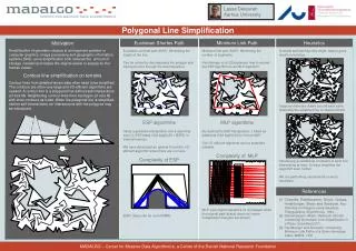
The Use of Spatial Context in Line Simplification. David McKeown Carnegie Mellon University (CMU) Jeff McMahill Carnegie Mellon University (CMU) Doug Caldwell U.S. Army Topographic Engineering Center (USATEC). Line Simplification.

E N D
The Use of Spatial Context in Line Simplification David McKeown Carnegie Mellon University (CMU) Jeff McMahill Carnegie Mellon University (CMU) Doug Caldwell U.S. Army Topographic Engineering Center (USATEC)
Line Simplification Weeding unnecessary or redundant coordinate pairs from a line.
Wireframe View Shaded View Simulation Data Base Production
Source Data Preparation Source Data Selected and Simplified Data
Line Simplification and Simulation Errors caused by simplificaton • Topology • Intra-feature • Inter-feature • Symbolization • Terrain correlation
Intra-Feature Topology Error Topology Error Unsimplified Feature Simplified Feature
Inter-Feature Topology Error Topology Errors Unsimplified Features Simplified Features
Symbolization Topology Errors Overlap Topology Error Centerline Data Symbolized Data (Features Overlap)
Topology Error Detection Based on Boundary Representation (BREP) • A winged-edge topological structure • Compare topology before and after simplification • Revert to original data if errors are detected • Document simplification parameters as part of simplified data
3-D Results • Average slope method • More closely follows terrain. • Fewer or sometimes no points removed. • 3-D distance method • Increased point reduction. • Generally gives better results • Can miss elevation changes. • Neither method works in all cases.
Summary • Enhancement of basic Douglas-Peucker algorithm necessary in simulation database production. • Topology and terrain correlation effects need to be considered. • Further research needed to ‘correct,’ rather than simply prevent errors.