Download
1 / 15
200 likes | 479 Vues
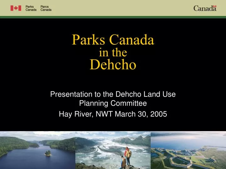
Parks Canada in the Dehcho. Presentation to the Dehcho Land Use Planning Committee Hay River, NWT March 30, 2005. Parks Canada in the Dehcho. Parks Canada has been operating in the Dehcho since 1972.

E N D
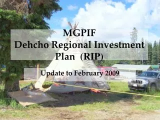
Parks Canadain theDehcho Presentation to the Dehcho Land Use Planning Committee Hay River, NWT March 30, 2005
Parks Canada in the Dehcho • Parks Canada has been operating in the Dehcho since 1972. • Maintenance of ecological integrity is the first priority in the management of Canada’s national parks. • Regional Parks Canada responsibilities include: • Nahanni National Park Reserve • Wood Buffalo National Park • - National Historic Sites • - Expansion of Nahanni National Park Reserve
Wood Buffalo National Park • Established in 2 phases, in 1922 and 1926. • Largest national park in Canada – 44,807 sq. km. • Not in the Dehcho, but borders the southeast corner of the planning area. National Historic Sites • There are two national historic sites in the Dehcho, including Fort Simpson and the Hay River Mission • These sites are commemorated by plaques and are within municipal boundaries.
Nahanni National Park Reserve • Lands set aside in 1972 • Established as a National Park Reserve in 1976 • Recognized as a UNESCO World Heritage Site in 1978 • South Nahanni River designated as a Canadian Heritage River in 1986 • Management Plans approved in 1987, 1994 and 2004 • Nah Deh Consensus Team formed in 2001 and the NDCT provide management recommendations to the Grand Chief and Park Superintendent
Nahanni Park Expansion Process • The Government of Canada announced the Action Plan to Protect Canada’s Natural Heritage in 2002 • DFN and Canada signed an MOU Respecting Park Expansion in 2003 • Nahanni Expansion Working Group formed in 2004 • Feasibility studies, including a MERA were initiated in 2004 • Public and Stakeholder consultations will begin in 2005 • Negotiations between DFN and Parks Canada will start in 2006
The Greater Nahanni Ecosystem • The Greater Nahanni Ecosystem includes the entire South Nahanni River watershed, and the area of the North Karst. • The Greater Nahanni Ecosystem covers 39,842 km2, of which 6,533 km2 is in Sahtu Settlement Region. • The Greater Nahanni Ecosystem is the park expansion “area of interest” within which feasibility studies, including a MERA, are being conducted. • The Greater Nahanni Ecosystem is the outer area within which the park could be expanded.
Information Package Comments • Some of these comments have already been provided • to Dehcho Land Use Planning Committee staff: • Parks Canada is pleased that the land use plan allows for the process to expand Nahanni National Park Reserve. • It is very progressive for the Dehcho Land Use Planning Committee to propose such extensive Conservation Zones such as Edehzhie, Pehdzeh Ki Deh and Sambaa K’e.
Information Package Comments (Con’t) • Where possible, boundaries between Conservation Zone 6 and Special Management Zone 18 should follow watershed, or sub-watershed lines. • Parks Canada would discourage additional development within the Greater Nahanni Ecosystem until park boundaries are determined. • In support of Conservation Zone proposals, the Dehcho Land Use Planning Committee may want to reference Band and Leadership resolutions calling for the protection of important areas.
Information Package Comments (Con’t) • In the List of Acronyms, ‘NGE’ should be GNE – Greater Nahanni Ecosystem • The plan should show the upper South Nahanni River watershed (the Sahtu portion of the GNE) with a dotted line, as is done for Pehdzeh Ki Deh • Non-consumptive tourism is encouraged in national parks and this should be corrected on Tables 5 and 6.
Information Package Comments (Con’t) • Similarly, Map 8 indicates that Non-Consumptive Tourism is not permitted in the green zones and this is not correct. • Current park expansion feasibility studies may add important information about Critical Wildlife Areas. A mechanism to include this information at a later date could be considered. • Table 7 – should have a definition of the term “Nahanni Park Expansion”, as suggested on the following slide:
Nahanni Park Expansion (suggested) • “Through a memorandum of understanding, Dehcho First Nations and Parks Canada have agreed to work together to expand Nahanni National Park Reserve within the Greater Nahanni Ecosystem. Feasibility studies, including a mineral and energy resource assessment are currently underway. Consultation with the public is part of the process. When these studies conclude, an agreement to expand the boundaries for the national park reserve will be negotiated through the Dehcho Process. The area of interest for park expansion is the Greater Nahanni Ecosystem, which includes the entire South Nahanni River watershed and the North Karst. The Dehcho Land Use Plan will allow for that process to determine the expanded boundaries for the national park reserve within the GNE.”
Concerns Re: “Access Planning” • The Description of Terms for Access Planning has a typo and was intended to say, “except zones 6 and 12”. Thus the plan would allow for the potential construction of an all-weather road within Conservation Zone 6. • Parks Canada questions if any type of road should be allowed within a conservation zone. Roads should be routed through general use zones and special management zones before conservation zones.
Concerns Re: “Access Planning” (Con’t) • If an all-weather road is considered for access to SMZ 18, then the following considerations are needed: • the proposed road should undergo a detailed access planning and routing study • the road route should be based on clear criteria and thorough planning • an old proposed route that does not have the benefit of proper planning data may not be the best choice • unique cultural, wildlife and geological resources must be safeguarded from potential negative impacts, and route selection should avoid such areas
Parks Canada and Dehcho First Nations have come together to safeguard the Greater Nahanni Ecosystem in order to achieve the health and wholeness of Nah?ą Dehé Mahsi Cho