Download

1 / 23
230 likes | 377 Vues
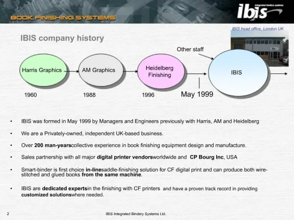
EPHT to IBIS. Julia Shumway & Louise Saw Environmental Epidemiology Program March 25, 2009. EPHT to IBIS. Indicators HSEES PHOM Query More to come… GIS Query Metadata National Portal. Indicators. Integrating EPHT with IBIS Indicators. Pre-existing indicators Mapping

E N D
EPHT to IBIS Julia Shumway & Louise Saw Environmental Epidemiology Program March 25, 2009
EPHT to IBIS • Indicators • HSEES • PHOM • Query • More to come… • GIS Query • Metadata • National Portal
Integrating EPHT with IBIS Indicators • Pre-existing indicators • Mapping • Information sharing with other states: New Jersey
Equal Interval Map Equal Interval: Attribute values are divided into n classes with each interval having the same range.
Natural Breaks Map Natural Breaks: Widely used in GIS. Breaks are typically uneven and selected to separate values where large changes in value occur. Also called Jenks.
Defined Interval Map Defined Interval: Variant of manual and equal interval in which the user defines each of the intervals required.
Quantile Map Quantile: Intervals are selected so that the number of observations in each interval is the same. The finished product.
About Utah HSEES • Hazardous Substances Emergency Events Surveillance • Prevention Outreach activities are done with groups such as: • community • occupational • environmental • health
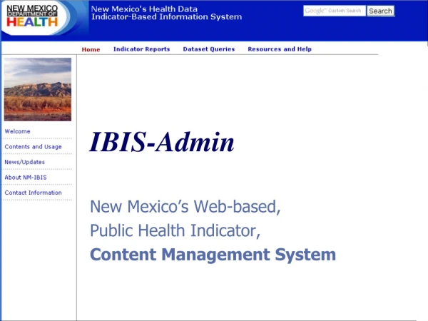
IBIS • Indicators • EPHT Indicator Demonstration • HSEES indicator Demonstration • Queries
How HSEES and IBIS work together to reach goals HSEES uses IBIS indicators and queries to • Increase breadth of hazard data • Provide networks for exposure data • Connect repeated acute releases for health effects data
Public Health Outcome Measures • Online December 2004. • First online feature: EPHT. • IBIS met EPHT requirements.
IBIS’ Sophisticated Query • Pre-existent system. • Pre-existent and new data. • Smaller time frame: Ozone and Asthma • Sortable. • Secure IBIS
Metadata What is it?