Download
1 / 6
60 likes | 67 Vues
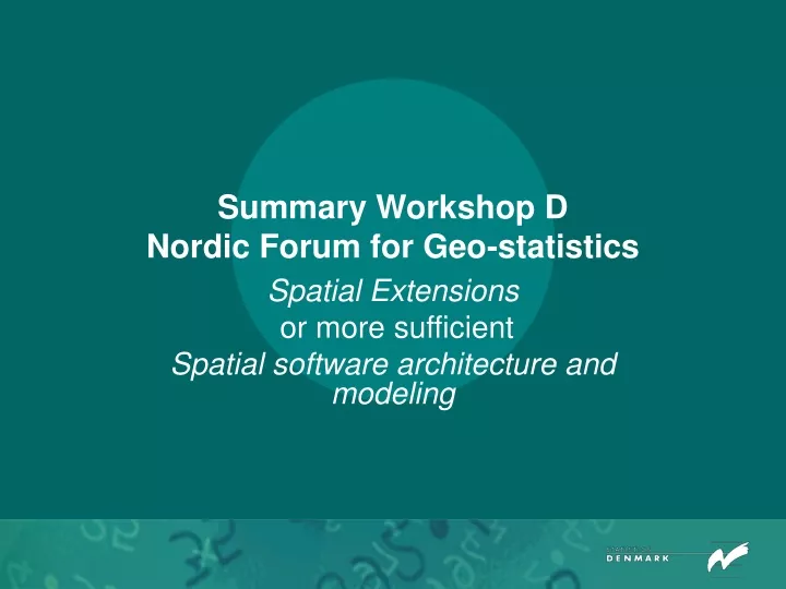
Summary Workshop D Nordic Forum for Geo-statistics. Spatial Extensions or more sufficient Spatial software architecture and modeling. Background. In 2002 and 2003 only Finland presented papers on experiences of spatial databases.

E N D
Summary Workshop DNordic Forum for Geo-statistics Spatial Extensions or more sufficient Spatial software architecture and modeling
Background • In 2002 and 2003 only Finland presented papers on experiences of spatial databases. • In Helsinki 2003 the possibility of making a workshop (and a network) on spatial software etc. was in question. • That lead to this workshop on Spatial Extensions to databases in Copenhagen 2004. Looking in the mirror a more sufficient title would bee Spatial software architecture and modeling.
Day 1 presentation • Conceptual Modeling of Geographic Data and Relationships among Geographic Databases (Anders Friis-Christensen,The Danish National Survey and Cadastre). • An introduction to the conceptual modelling of geographic data with focus on the modelling of consistency in data represented by different databases (multiple representations). • Se also: Issues in the Conceptual Modelling of Geographic Data, Anders Friis-Christensens Ph.D. Thesis defended Friday 24th of October 2003, Department of Computer Science, Faculty of Engineering and Science, Aalborg University, Publication No. 21, ISSN nr. 1601-0590.
Day 2 presentations: Subject 1 - 3 • FME and Geodatabases (Peter Laulund, The Danish National Survey and Cadastre). • An introduction to the software FME (Feature Manipulation Engine) by Safe Software and its use in Danish National Survey and Cadastre. It’s an ETL-software (ETL=Extract, Transform, Load), that is of interesting if one needs to write, read and supply spatial data in many different formats and coordinate systems. • Report on the planned construction of a Geodatabase based on ArcSDE (Bjørn Roar Joneid, Statistics Norway). • Statistic Norway have decided to buy ArcSDE and establish a spatial database (a geo-database in Informi-GIS terminology) in Oracle without using either Oracle Locator or Oracle Spatial. ArcSDE is the link between Oracle and ArcGIS. The need for a spatial database has to be combined with the possibility to read and write forth and back between Oracle and ArcGIS. Compare that Statistic Norway have a long tradition for using “traditional” GIS-software and have, for that reason, no intension to use Spatial Extensions to databases. • Oracle Locator/Spatial (Jesper Lauritzen, Statistics Denmark). • Statistic Denmark has not yet decided on its spatial architecture. A few experiences using Oracle locator/spatial is going on. E.g. address coordi-nates are stored in Oracle Spatial using the data type Sdo_geometry. Un-like the other Nordic Statistics, Statistic Denmark have no long tradition for using traditional GIS-software like e.g. Inform-GIS products. Also it is deci-ded that data has to be stored in Oracle databases. For that reason it is obvious to examine Oracle Spatial Extension. ArcGIS is also used and, for that reason, a link between Oracle Spatial and ArcGIS, e.g. ArcSDE is a possibility.
Day 2 presentations: Subject 4 - 6 • Spatial Database; administrating and using spatial data. (Maija Leppänen, Statistic Finland. Maija was not able to participate but her distributes on the workshop). • The paper is about relational databases and its benefit, advantages and disadvantages of ArcSDE, etc. • Statistic Finland have bought ArcSDE for the purpose to use it with SQL Server 2000 (Hope they will have Oracle and Oracle Spatial some day). • (Håkan Hedenvind, Statistics Sweden). • Statistic Sweden – like Finland and Norway - have a long tradition for using spatial data. Using Spatial Extensions to relational databases have not yet been discussed. • (Inge Nael, Statistics Estonia. Inge did not participate in the workshop) • Statistic Estonia is testing Oracle Locator.
Conclusion • The participants agreed on having a useful workshop and on the fact that comparative discussions on Spatial software architecture and modeling is a good idea.