Download
1 / 23
510 likes | 1.6k Vues
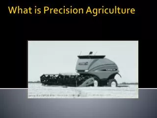
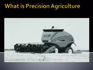
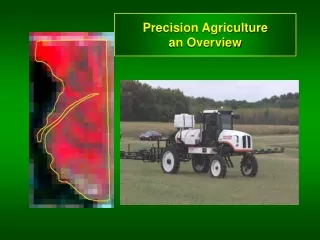
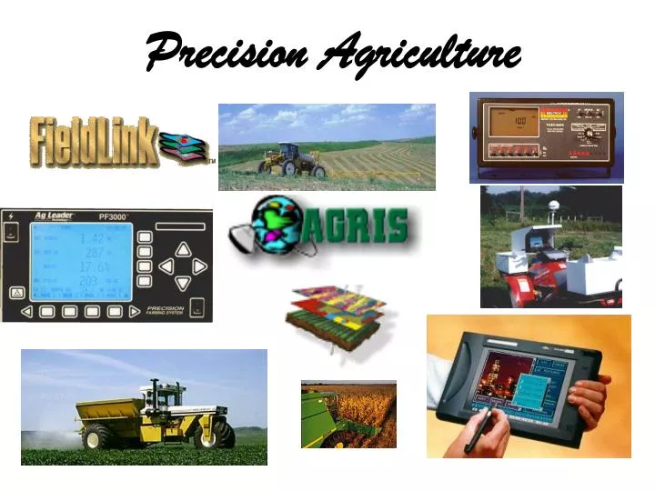
Precision Agriculture. What Is Precision Agriculture?. The practice of managing each acre of your farm to reach it’s highest economic yield through the use of various tools and practices. Precision Agriculture Tools. G lobal P ositioning S ystem

E N D
What Is Precision Agriculture? • The practice of managing each acre of your farm to reach it’s highest economic yield through the use of various tools and practices.
Precision Agriculture Tools • Global Positioning System • Collect soil samples and yield data from your fields and attach exact longitude and latitude coordinates to that data • Go back to the same locations to collect further data or apply inputs based on your data • Mapping software • Create colored maps of data collected • A Geographic Information System • Layer different maps for further analysis
GlobalPositioning System • Accuracy within 50 to 300 ft • Good for navigation for hunters, boats, airplanes and cars • Inexpensive • Not accurate enough for agriculture
Coast Guard Correction Coast Guard Tower
Coast Guard Correction • Sub meter accuracy • Great for agriculture • Free differential correction • Signal has not been real reliable in the past • With Louisville tower now in service reliability has been improved • It is a radio signal so hills and trees do have an effect on signal quality
Satellite Correction Correction Signal
Satellite Correction • Sub meter accuracy • Great for agriculture • Subscription fee • Most reliable GPS correction available • Signal comes from overhead so trees and hills do not interfere
Uses for GPS • Grid soil sampling • VRA fertilizer and lime • VRA chemicals • VRA seed • Site specific tillage • Yield monitors • Guidance systems • Many more
Mapping Software • Allows you to create maps of each variable within the field • Gives a graphic image of the variability within the field • Creates recommendation maps to apply different rates to each area of the field
Geographic Information System • Allow you to layer several different maps of the same field to further analyze the data • Gives you a three dimensional look at your fields
Aglink Software • Agris aglink software is our geographic information system • Industry standard • Provides us with the analytical tools needed to extract valuable information
Benefits to the Farmer • Allows you to determine areas of high and low fertility levels within a field and apply fertilizer and lime to those areas accordingly. • Improve weed control by applying lime and chemicals at the proper rates for each area of the field. • Add value to your farm land and to you as a tenant. • Help obtain the maximum economic yield for every acre.