Download
1 / 24
240 likes | 335 Vues
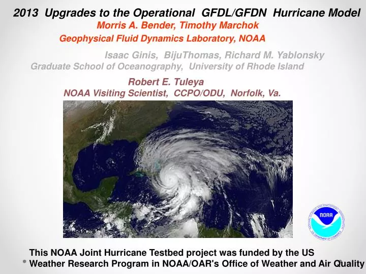
2013 Upgrades to the Operational GFDL/GFDN Hurricane Model Morris A. Bender, Timothy Marchok Geophysical Fluid Dynamics Laboratory, NOAA Isaac Ginis , BijuThomas , Richard M. Yablonsky Graduate School of Oceanography, University of Rhode Island Robert E. Tuleya

E N D
2013 Upgrades to the Operational GFDL/GFDN Hurricane Model Morris A. Bender, Timothy Marchok Geophysical Fluid Dynamics Laboratory, NOAA Isaac Ginis, BijuThomas, Richard M. Yablonsky Graduate School of Oceanography, University of Rhode Island Robert E. Tuleya NOAA Visiting Scientist, CCPO/ODU, Norfolk, Va. 3-D Ocean Coupling This NOAA Joint Hurricane Testbed project was funded by the US Weather Research Program in NOAA/OAR's Office of Weather and Air Quality
GFDL 2012 UPGRADES Model Physics Upgrades 1. Detrained Microphysics passed from SAS to micro-physics 2. Bugs Fixed in PBL and SAS convective schemes 3. Retuning of momentum mixing 4. Improved formulation of surface exchange coefficients (ch, cd) 5. Implementation of GFS Shallow Convection 6. Improved PBL structure (.25 Critical Richardson number; reduced vertical mixing coefficient by 40% in storm region) Initialization Reduction in storm size for larger storms Removal of asymmetries (impact was neutral)
GFDL/HWRF Six Year Intensity Trend 48h Intensity Error (knots) 72h Intensity Error (knots) 48h Intensity Trend of GFDL-HWRF Mean Forecast • Trends over the past 6 seasons indicate an improvement in intensity forecasts with operational NWS regional hurricane models • GFDL and HWRF exhibit comparable improvements, with their mean showing further improvements
Proposed GFDL 2013 UPGRADES Model Resolution and Dynamics Increase of inner nest model resolution from 1/12th to 1/18th degree. Reduction of gravity wave damping term in time differencing scheme (Kurihara, Tripoli, Bender, MWR, 1976) Model Physics Initiation of large-scale condensation at 100% humidity for inner nests Implementation of meso-SAS (to be evaluated) Implementation of new version of Princeton Ocean Model (MPIPOM-TC) for ocean coupling (to be evaluated) Initialization Improved specification of maximum wind in vortex initialization (significant reduction in initial negative wind bias)
Proposed Upgraded model to be extensively tested on 2010, 2011 and 2012 seasons using current version of the GFS. • Results to be summarized in presentation for Atlantic basin only. • Results presented without new meso-SAS and MPIPOM-TC (Preliminary results !) • Version will serve as benchmark for evaluation of new meso-SAS and MPIPOM-TC for final model configuration
Hurricane Igor Sep. 12th, 12z Sep. 13th, 12z Improved targeting of maximum Wind in vortex specification 1 Current Model 2 Upgraded Model 1 Current Model 2 Upgraded Model Sep. 13th, 0z Sep. 14th, 12z
Impact of Higher Resolution and Reduced Gravity Wave Damping on Inner Core
]Hurricane Katia (0000 UTC 1 September, 2011) Current Model Upgraded Model 500 hPa Omega 500 hPa Omega
]Hurricane Katia (0000 UTC 1 September, 2011) Current Model Upgraded Model Omega Cross-Section through Storm Center
2012 Atlantic Track and Intensity Errors TRACK ERROR INTENSITY ERROR Significant reduction in early forecast periods due to improved initialization. Neutral Impact Beyond hour 12. 12% Reduced track error days 4-5. Track error reduced all time levels
2012 Intensity Bias Significantly Reduced Intensity Bias. Small Positive Bias at 3-5 days
Hurricane Ernesto 1 Current Model 2 Upgraded Model Improved Track and Intensity Forecasts for Hurricane Ernesto 1200 UTC 5 August 1800 UTC 5 August 1 Current Model 2 Upgraded Model
Much Improved Tracks for Nadine 1 Current Model 2 Upgraded Model 0000 UTC, 14 September 0000 UTC, 24 September 1800 UTC, 18 September 1200 UTC, 25 September 1 Current Model 2 Upgraded Model
2010 Atlantic Track and Intensity Errors TRACK ERROR INTENSITY ERROR 11% Reduced Intensity Error Through Day 3 (Season Dominated by Strong Storms) Overall Neutral Impact on Track
2010 Intensity Bias Much Reduced Negative Bias in a Season Dominated by Intense Hurricanes (Danielle, Igor, Earl, Julia)
2011 Atlantic Track and Intensity Errors TRACK ERROR INTENSITY ERROR Excessive Positive bias in Irene and Katia at Days 2-4 Contributed to Increased Intensity Error with Upgraded Model Slightly Improved Track Errors for early forecast periods. 4-5% Degraded Track Error Days 4-5
2011 Intensity Bias Much Reduced Negative Bias Days 1-2 Significant Positive Bias at Days 3 through 5
Five Day Forecast of Maximum Surface Winds (knots) Hurricane Irene (1200 UTC 23rd August) Hurricane Katia (0000 UTC 3rd September) 1 Current Model 2 Upgraded Model 1 Current Model 2 Upgraded Model Too Little Ocean Cooling Possibly Contributed to Excessive Intensification for these 2 Storms)
Hurricane Katia (3rd September starting time) Impact of new Princeton Ocean Model on SSTs New Ocean Model Current Ocean Model More realistic SST cold wake may significantly reduce positive bias New – Old SST
2010, 2011, 2012 Combined Seasons Track Intensity Overall Neutral Impact on Intensity Despite Large Reduction in Bias Small Reduction in Track Error (~4%)
SUMMARY • PRELIMIARY TESTS OF GFDL/GFDN 2013 UPGRADES WERE CONDUCTED FOR 2010, 2011 AND 2012 HURRICANE SEASONS. • THESE TESTS WILL SERVE AS BENCHMARK TO EVALUATE NEW MESO-SAS AND NEW PRINCETON OCEAN MODEL FOR FINAL UPGRADED MODEL CONFIGURATION • NEW MODEL HAS MUCH REDUCED INTENSITY BIAS ALTHOUGH OVERALL IMPACT ON INTENSITY ERROR SO FAR WAS MOSTLY NEUTRAL EXCEPT AT EARLY FORECAST TIMES. • PREDICTION OF INTENSE HURRICANES WAS SIGNIFICANTLY IMPROVED. • IMPACT ON TRACK WAS SMALL (~4% REDUCTION IN TRACK ERROR)