Download
1 / 16
160 likes | 300 Vues
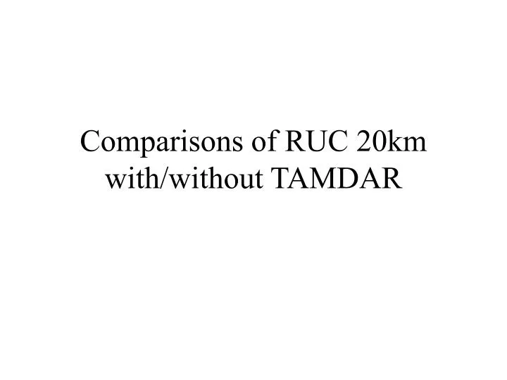
Comparisons of RUC 20km with/without TAMDAR. Sounding comparison - TAMDAR ascent vs. Dev for Jan 31, 2005. Winds 180 degrees off from about 700mb to 500mb. As AirDat data became cleaner, these types of cases became more rare.

E N D
Sounding comparison - TAMDAR ascent vs. Dev for Jan 31, 2005. Winds 180 degrees off from about 700mb to 500mb. As AirDat data became cleaner, these types of cases became more rare.
Yellow contours: RH differences (absolute) beginning at 10% and continuing at 10% intervals White contours: Wind RMS differences beginning at 2 and continuing at intervals of 1 Shaded colors: Temp differences in degrees C (colorbar scale)
Some impact could possibly be able to be seen with RH at off-synoptic times. • Comparison of cloud analyses, particularly cloud bases may reveal effect of TAMDAR RH observations. • A preliminary attempt at verification using satellite visible images. • NOTE: These examples are speculative and marginal.
April 4,2005 00Z Some RH difference is outlined in NW MN Also some difference in E IA
Dev and Dev2 Cloud base height analysis comparison Bases between 5000ft-1000ft in central and northern MN are farther east in Dev than in Dev2 Also, bases are farther east in IA in Dev2 than in Dev
00:15Z Visible Satellite image more closely resembles the cloud analysis for Dev2 than Dev in northern MN and in IA
April 5, 2005 18Z Difference plot shows RH differences in northern MS, AL, southern TN, eastern AR.
Dev and Dev2 Cloud base height analysis comparison Dev2 shows more bases between 15000ft and 20000ft in SW KY, NW TN Also more bases in MS, AL
18:15Z Visible Satellite image shows clouds in SW KY, NW TN, and nearly all of MS is cloudy with streaks in central AL.
April 8, 2005 18Z Format changed - Blue contours replace yellow contours for RH differences White contours: Wind RMS differences beginning at 2, increasing by intervals of 2 500 mb: (approx. 18000 ft) shows RH differences over northern MN
Dev and Dev2 Cloud base height analysis comparison More clouds in NW MN in Dev2
Preliminary Conclusions • TAMDAR RH observations seem to be having some positive impact to the RUC model cloud analysis (may be more noticeable in the convective season, especially with cloud forecasts). • Wind and temperature measurements can, and probably are, also having positive effects as sensors are “fine tuned”. • More study is needed to determine if observations of icing and turbulence are providing positive impact.