Download
1 / 18
180 likes | 187 Vues
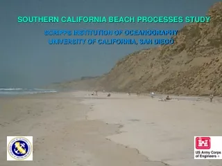
Southern California Beach Processes Study (SCBPS). Headwaters to Oceans Conference October 26, 2005 Julie Thomas, Dr. Robert Guza, Dr. Richard Seymour, Dr. William O’Reilly, Randy Bucciarelli. SCBPS MISSION

E N D
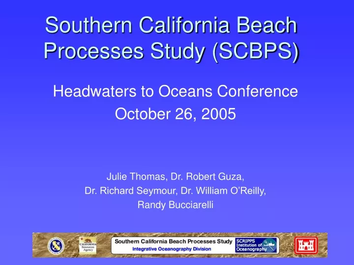
Southern California Beach Processes Study (SCBPS) Headwaters to Oceans Conference October 26, 2005 Julie Thomas, Dr. Robert Guza, Dr. Richard Seymour, Dr. William O’Reilly, Randy Bucciarelli
SCBPS MISSION • Improve our understanding of beach sand transport by waves and currents. • Improve local and regional management of sandy shorelines. Coastal erosion threatens public and private safety and property. LEUCADIA, CA – FEB 2002
SURVEY COVERAGE REGION Coastal Data Information Program (CDIP) wave buoys LIDAR In-Situ ATV & JetSki Surveys: San Onofre and Torrey Pines
TORREY PINES STATE BEACH Beach Nourishment Apr 11, 2001 Thanksgiving Storm Nov 23, 2001 Publication: Seymour et. Al, Coastal Engineering, 2004
Insitu Surveys Monthly: Low tide above waterline (exposed beach). Twice/Year: Extend to 8m depth TorreyPines San Onofre
Torrey Pines State Beach Altitude: 1000 m Swath Width: 600 m Optech LIDAR Instruments
University of Texas & Scripps Collaboration ATV/LIDAR Survey Comparison Index Map Cross-shore Profiles
Elevation Change (May – Sep 2002) San Onofre – Low seasonal Variation. Torrey Pines – High seasonal Variation.
South Swell Northwest Swell • Both San Onofre and • Torrey Pines are exposed • to North swell. - San Onofre exposed • Torrey Pines sheltered
SCBPS Website http://cdip.ucsd.edu/SCBPS
Web Products Long Beach - Mexican Border City Level Regional Level Beach Level Profile Level
Torrey Pines Golf Course Sep 2004 LIDAR Survey Beach Sand Levels Beach Sand Level Cliff elevation
Torrey Pines Change Map from May 2002 to September 2002
Collaboration Seismic Reflection/MultiBeam/LIDAR Southern California Coastal Ocean Observing System (SCCOOS)
Newport October 18, 2005