Download
1 / 17
170 likes | 384 Vues
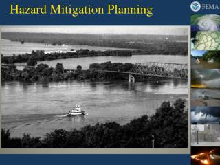
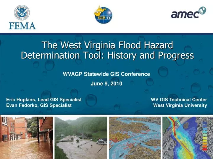
WVAGP Statewide GIS Conference June 9, 2010. The West Virginia Flood Hazard Determination Tool: History and Progress. Eric Hopkins, Lead GIS Specialist Evan Fedorko, GIS Specialist. WV GIS Technical Center West Virginia University. WV Flood Hazard Determination Tool.

E N D
WVAGP Statewide GIS Conference June 9, 2010 The West Virginia Flood Hazard Determination Tool: History and Progress Eric Hopkins, Lead GIS Specialist Evan Fedorko, GIS Specialist WV GIS Technical Center West Virginia University
WV Flood Hazard Determination Tool http://www.MapWV/gov/flood
WV Flood Hazard Determination Tool • Future Plans • Flood depth / flood surface elevation • Migration to ArcGIS Server • Continued incorporation of new DFIRM data
Limitations of Scale • FEMA DFIRMs moving towards an entirely digital product • Where do we draw the line with digital data? • FEMA traditional guidelines (min. floodplain width) vs. digital mapping capabilities (detail) • What should be considered as significant flooding? • Terrain considerations • Velocity and depth considerations
Enhanced Zone A FP development for streams >1 sq mile Revised effective Zone A FPs Six WV Counties 1700 steam miles Potential Future Counties Fayette, Greenbrier, Mercer, Raleigh, Kanawha WV Disaster Recovery Mapping
Acknowledgements • West Virginia NFIP Coordinator Robert Perry • Jon Janowicz, Bob Pierson, Nicole Lick, FEMA Region III • Tucker Clevenger, Matt Breen, AMEC Earth & Environmental
Questions? Eric Hopkins WV GIS Technical Center West Virginia University 330 Brooks Hall, PO Box 6300 Morgantown, WV 26506-6300 Eric.Hopkins@mail.wvu.edu Evan Fedorko WV GIS Technical Center West Virginia University 330 Brooks Hall, PO Box 6300 Morgantown, WV 26506-6300 Evan.Fedorko@mail.wvu.edu