Download
1 / 9
90 likes | 211 Vues
Aerial Photograph Habitat Classification

E N D
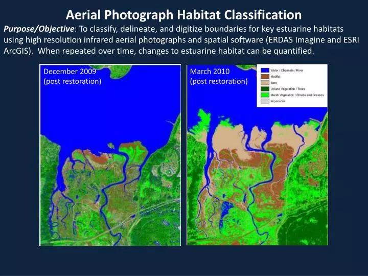
Aerial Photograph Habitat Classification Purpose/Objective: To classify, delineate, and digitize boundaries for key estuarine habitats using high resolution infrared aerial photographs and spatial software (ERDAS Imagine and ESRI ArcGIS). When repeated over time, changes to estuarine habitat can be quantified. December 2009 (post restoration) March 2010 (post restoration)
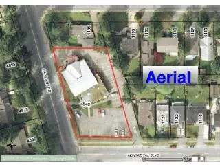
Considerations for Aerial Photographs: • False color infrared or 4-band • High resolution • Taken during peak vegetation growth • Taken during low tide Nisqually Delta, WA August 8, 2010
Image Preparation - Masking: Create a polygon mask over your area of interest to reduce spectral variability.
Image Preparation - Resampling (optional): • Reduce class confusion by resampling high resolution imagery to a courser resolution (i.e. size of a vegetation quadrat). 1 pixel = 0.5m x 0.5m vegetation quadrat
Unsupervised Classification (1st method): Let ERDAS Imagine group pixels in categories automatically.
Supervised Classification (2nd method): Manually create training sites throughout the imagery for each class.
Ground -truthing: Check classifications against real ground conditions.
Classification Smoothing (optional): • Reduce salt and pepper effects and improve overall appearance of your images. After Before
For a detailed, pdf version of these methods, use the link on the right to download the Aerial Photograph Habitat Classification SOP.