Download
1 / 61
610 likes | 802 Vues
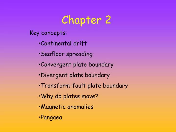
Chapter 2. Key concepts: Continental drift Seafloor spreading Convergent plate boundary Divergent plate boundary Transform-fault plate boundary Why do plates move? Magnetic anomalies Pangaea. Which force(s) create earthquakes and volcanoes?. Gravity Electromagnetism Nuclear forces.

E N D
Chapter 2 • Key concepts: • Continental drift • Seafloor spreading • Convergent plate boundary • Divergent plate boundary • Transform-fault plate boundary • Why do plates move? • Magnetic anomalies • Pangaea
Which force(s) create earthquakes and volcanoes? Gravity Electromagnetism Nuclear forces
Plate Tectonics The unifying theory of the Earth sciences The outer portion of the Earth is made up of about 20 distinct “plates” (~ 100 km thick), or lithosphere which move relative to each other • This motion is what causes earthquakes and makes mountain ranges
Continental Drift The concept that large-scale horizontal movements of the outer portions of the Earth are responsible for the major topographical features such as mountains and ocean basins. Proposed by Alfred Wegner in 1912 based on his observation of drifting sheets of ice.
The topography of Mars by NASA and Venus from tes.asu.edu/images/SOL_SYST/VENUS/venus_topography.gif Venus Mars
Moon topography (FROM http://www.ep.sci.hokudai.ac.jp/~mosir/work/2002/kamokata/lecture/moon/moon_html/moon_exploer/images/Topography.jpg
Geographic Fit of the Continents One of the first pieces of evidence used to argue for continental drift Suggested that all continents were once together in a single supercontinent called Pangea Fig. 2.1
Geology and Paleontology Matches on Opposite Sides of the Atlantic Fig. 2.2
The Rejection and Acceptance of Continental Drift Rejected by most geologists. New data after WWII led to the “plate tectonic revolution” in 1960’s. Now embraced by essentially everybody. Today’s geology textbooks radically different than those 40 years ago.
Plate Tectonics Integrates evidence from many branches of science First suggested based on evidence from geology and paleontology Fully embraced after evidence from geophysics
Plate Tectonics Predicts Location of Earthquakes and Volcanoes Fig. 2.4
Evidence for Plate Tectonics Came from the Seafloor • bathymetry • age of ocean crust • magnetic data Fig. 2.3
A Mosaic of Plates Fig. 2.5
Modern Plate Motions • geology • GPS measurements • magnetic data mm/year Fig. 2.5
Driving Mechanism of Plate Tectonics GRAVITY Convection may have overturned asthenosphere 4–6 times.
Driving Mechanism of Plate Tectonics GRAVITY-- cooling lithosphere thickens with age and slides under its own weight down the top of the asthenosphere Convection may have overturned asthenosphere 4–6 times.
Key parts of Plate Tectonics Lithosphere or rigid lid that holds both crust and cold mantle together as one solid block (0-100km) asthenoshphere or plastic,ductile, layer also within the mantle (100km depth to 300 km depth??)
Two Models of Mantle Convection Fig. 2.17
Divergent Plate Boundary Usually start within continents— grows to become ocean basin Fig. 2.6
Compositional subdivisions of the earth Crust 10-70 km thick cont. granite 2.7 g/cc oceanic- basaltic >2.8 g/cc Mantle peridotite >3 g/cc down to 2900 km depth mantle
Mechanical subdivisions of the upper earth lithosphere RIGID asthenosphere DUCTILE
Comparison of views earthstructure lithosphere RIGID crust asthenosphere DUCTILE mantle Mantle
Plates Group of rocks all moving in the same direction Can have both oceanic and continental crust or just one kind.
Ridge Push and Trench Pull Fig. 2.16
The Seafloor as a MagneticTape Recorder During and after WWII, it was noticed that the magnetic field near the ocean floor exhibited significant variation. Subsequent analysis shows that the changes in the rocks reflect changes in the Earth’s magnetic field over time.
The Seafloor as a MagneticTape Recorder When certain magnetic minerals cool below their Curie temperature of 573 degrees the magnetic domains in these minerals “freeze” in the direction of the current earth’s magnetic field until the sample is weathered away or reheated in the lab or by natural burial.
Magnetic Reversals in a Single Volcano Fig. 2.11
The Magnetic Record Fig. 2.11
Magnetic Reversals at Mid-ocean Ridges Fig. 2.11
Magnetic Age of the Oceans Fig. 2.14
Three Types of Plate Boundaries Divergent Convergent Transform Fig. 2.5
Divergent Plate Boundary Usually start within cotinents— grows to become ocean basin Fig. 2.6
Divergent Plate Boundary Fig. 2.7
Continental Rifts • East Africa, Rio Grande rift • Beginning of ocean formation although it may not get that far • Rifting often begins at a triple junction (two spreading centers get together to form ocean basin, one left behind).
Divergent Plate Boundary Fig. 2.6
Divergent Plate Boundaries Fig. 2.8
Convergent Boundaries • Relative densities are important: continental crust 2.7 g/cm3 oceanic crust 2.8 g/cm3 mantle 3.3 g/cm3
Is the Earth Expanding? New crust created at Mid-ocean ridge—old crust destroyed (recycled) at subduction zones The Earth is maintaining a constant diameter.
Convergent Boundaries Three types: ocean–ocean Japan ocean–continent Andes(South America) continent–continent Himalayas
Ocean–Ocean Island arcs: • Tectonic belts of high seismicity • High heat flow arc of active volcanoes • Bordered by a submarine trench
Tectonics Predicts Location of Earthquakes and Volcanoes Fig. 2.4
Marianas Islands-Challenger Deep/Marianas Trench (10,924 m or ~ 7miles) http://www.geocities.com/thesciencefiles/marianas/marianaspic2.JPG
Convergent plate boundary Fig. 2.9
Ocean–Continent Continental arcs: • Active volcanoes • Often accompanied by compression of upper crust
Convergent Plate Boundary Fig. 2.9
Continent–Continent • In ocean–continent boundaries, collision convergence is taken up by subduction • In continent–continent boundaries, convergence is accommodated by deformation of the crust without subduction (both plates are too buoyant to be subducted)
Transform Plate Boundary Fig. 2.10