Download
1 / 30
300 likes | 449 Vues
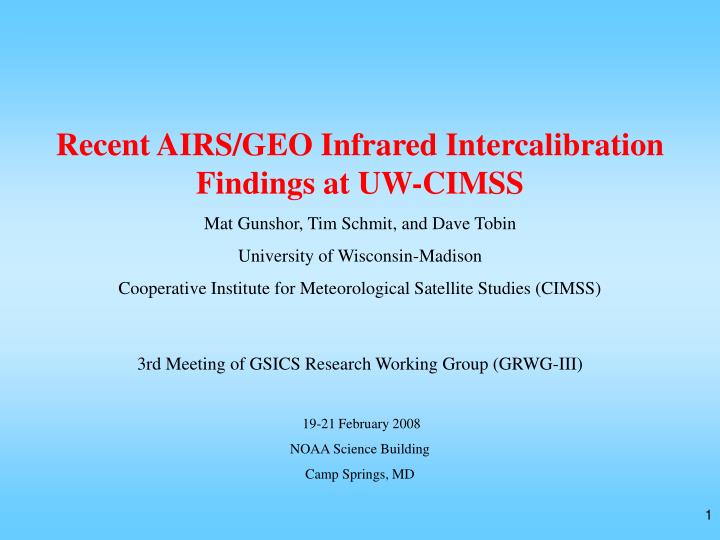
Recent AIRS/GEO Infrared Intercalibration Findings at UW-CIMSS Mat Gunshor, Tim Schmit, and Dave Tobin University of Wisconsin-Madison Cooperative Institute for Meteorological Satellite Studies (CIMSS) 3rd Meeting of GSICS Research Working Group (GRWG-III) 19-21 February 2008

E N D
Recent AIRS/GEO Infrared Intercalibration Findings at UW-CIMSS Mat Gunshor, Tim Schmit, and Dave Tobin University of Wisconsin-Madison Cooperative Institute for Meteorological Satellite Studies (CIMSS) 3rd Meeting of GSICS Research Working Group (GRWG-III) 19-21 February 2008 NOAA Science Building Camp Springs, MD
Winter in Madison,Wisconsin 2007/2008 Normal winter snowfall: 36.2” (92cm) - This winter: 86.7” (220cm) - Former Record: 76.1” (193cm) The disk drives (raid system) that have all of my intercalibration data died on 31 January!
Overview • Review of CIMSS AIRS/GEO infrared intercalibration procedures • Results from January 2006 through October 2007 for GOES, METEOSAT, FY-2C, & MTSAT • Time dependence • GOES-12 Decontamination • MET-8 Decontamination • FY-2C “Stray Light” • GOES-13 and GOES-O Post-launch Checkouts • 42 slides (12 hidden).
CIMSS Methods • Have not changed significantly in the last year. • GSNO (Geostationary Simultaneous Nadir Observations) • Area average (not pixel to pixel) – mean radiances converted to brightness temperature and differenced (GEO-AIRS). • GEO and AIRS data averaged to 100KM effective FOV size • AIRS spectral gaps are filled with the US Standard Atmosphere adjusted to fit the gap endpoints. • No filtering is done for scene spatial uniformity.
Lat Lon MTSAT 11m 07 July 2005 at 15:33UTC
Lat Lon AIRS convolved with MTSAT 11m 07 July 2005 at 15:36UTC
Lat Lon 100km-smoothed MTSAT comparison area
Lat Lon 100km-smoothed AIRS convolved with MTSAT comparison area (Tbb = -0.4 K)
Meteosat-8 7.3m Spectral Response (blue) with AIRS spectra (black). Gaps filled with adjusted US Standard Atmosphere spectra (green).
CIMSS Intercal Results Jan 2006 – Oct 2007 *Night Only
CIMSS Intercal Results Jan 2006 – Oct 2007 The gap-filling method is not adequate for this band!
GOES-12 Time Dependence • The standard deviation improves with a 5 minute time limit in most bands. • The mean temperature difference moved closer to 0 with a 5 minute time limit in all bands. • Other time limits were tried but 5 minutes gave the best results. Fewer than 5 minutes reduces N drastically without a noticeable return. Greater than 5 minutes increases the mean difference and standard deviation.
GOES-12 Decontamination Heater: On Off 1July (182) 2July (183) 3July (184) 4July (185) 5July (186) 6July (187) 7July (188) 8July (189)
GOES-12 Decontamination Decontamination 2 July – 4 July, 2007
GOES-12 Decontamination • After decontamination standard deviations tend to get better and mean differences are affected as well (not always closer to 0 K). • The water vapor band mean temperature difference is the same magnitude, opposite sign, after decontamination. • The 13.3 micrometer band mean temperature difference was improved by nearly 1K.
METEOSAT-8 11 micrometer time series… (MSG/Meteosat-8 note: Due to ongoing decontamination of the SEVIRI instrument, several infrared channels will not be available until after 1400 UTC on 1/13/06. Only SEVIRI visible channel images (HRV, VIS0.6, VIS0.8, and NIR1.6) are available.) – Do satellite operators need to do more to protect users?
FY-2C “Stray Light” Around 18 UTC (near satellite midnight), there is light reflected from a telescope mounting. It affects all bands, though is most obvious in the shortwave.
FY-2C “Stray Light” It is hard to see there is a “stray light” problem here…
FY-2C “Stray Light” Differences on the order of 2K in the IR Window. … Until you see the difference between the two time steps (17:30 and 18:00 UTC).
FY-2C “Stray Light” Differences on the order of 25K in the water vapor band! In China they do not use these data to produce operational products. However, the data are still available.
GOES-13 Science Check Out N=19 GOES-13 Imager band 6 (13.3 um) spectral response function (blue) and the shifted spectral response function (green) shifted -4.7 cm-1 (approximately 13.4 um). By shifting the spectral response this amount, the bias, or mean brightness temperature difference for all 19 cases, becomes 0.01K with a standard deviation of 0.7K.
NOAA Tech Memos • GOES-11 (#103) • GOES-12 (#115) • http://rammb.cira.colostate.edu/research/calibration/goes_12_science_test_report.asp • GOES-13 (#125) • http://rammb.cira.colostate.edu/projects/goes_n/
GOES-O • GVAR Change (to support the 4km 13.3 um band) • To become GOES-14 • Launch date may be August of 2008 • Followed by a post-launch check-out and on-orbit storage. • Should GSICS investigate pre-operational satellites? Non-operational data are not archived by NOAA’s CLASS.
Conclusions • Most of the world’s IR geostationary satellite bands are “adequately” calibrated. • Limiting comparisons to an actual 5 minute time difference is preferable to CIMSS current method. • Decontamination affects GOES-12 results in all bands. • More should be done to protect users from data we know are poorly calibrated or have quality issues, especially internationally. • The most important time for Intercalibration is following launch, in the pre-operational phase after the engineering check-out phase.