Download
1 / 30
330 likes | 666 Vues
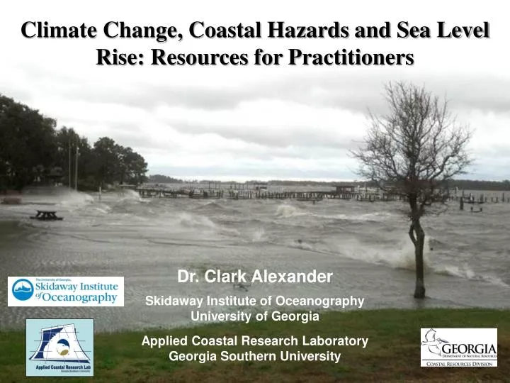
Climate Change, Coastal Hazards and Sea Level Rise: Resources for Practitioners. Dr. Clark Alexander Skidaway Institute of Oceanography University of Georgia Applied Coastal Research Laboratory Georgia Southern University. Natural Hazards for Coastal Regions. Tropical cyclones (hurricanes)

E N D
Climate Change, Coastal Hazards and Sea Level Rise: Resources for Practitioners Dr. Clark Alexander Skidaway Institute of Oceanography University of Georgia Applied Coastal Research Laboratory Georgia Southern University
Natural Hazards for Coastal Regions • Tropical cyclones (hurricanes) • Extratropical storms (nor’easters) • Sea-level rise • Shoreline erosion • Localized strong wind • Over half of the world’s population lives less than 100 miles from the ocean • Sea-level is rising in the ocean basins from changing climate • More extremes in weather • Increased intensity of tropical cyclones globally
Current Sea Level Trends (NOAA) www.tidesandcurrents.noaa.gov
Satellite Altimetry = Absolute “Eustatic” Sea Level Rise Jason-2 (2008-P) Jason-1 (2001-2008) TOPEX-POSEIDON (1993-2001)
NOAA Sea Level Trends for North America http://www.tidesandcurrents.noaa.gov
Year National Climate Assessment and Development Advisory Committee http://ncadac.globalchange.gov/
Major Consequences of Sea Level Rise • saltwater intrusion • storm damage/more frequent flooding • less efficient drainage and septic systems • loss of intertidal habitat • increased shoreline erosion and retreat
A Survey of Web Portals, Viewers and Tools Georgia Coastal Hazards Portal http://gchp.skio.uga.edu North Carolina Coastal Atlas https://www.nccoastalatlas.org/http://coastal.geology.ecu.edu/NCCOHAZ/index.html USGS National Assessment of Shoreline Change Project http://coastalmap.marine.usgs.gov/national/shorelc/ NOAA Sea Level Rise and Coastal Flooding Impacts Viewer http://www.csc.noaa.gov/slr/viewer/ Climate Central - Surging Seas http://sealevel.climatecentral.org/ US Global Change Research Program http://www.globalchange.gov Governors’ South Atlantic Alliance Coast & Ocean Portal AMBUR Coastal Hazard Vulnerability Assessment Tool http://gsaaportal.org/ Clark Alexander Skidaway Institute of Oceanography clark.alexander@skio.uga.edu
US Global Change Research Program Vulnerability to Sea Level Rise http://www.globalchange.gov/
USGS National Assessment of Shoreline Change Project http://coastalmap.marine.usgs.gov/national/shorelc/
Georgia Coastal Hazards Portal (GCHP) – gchp.skio.uga.edu Shoreline Change Rates
NOAA Sea Level Rise and Coastal Flooding Impacts Viewer http://www.csc.noaa.gov/slr/viewer/
Georgia Coastal Hazards Portal (GCHP) – gchp.skio.uga.edu Sea Level Rise Scenarios
North Carolina Coastal Atlas https://www.nccoastalatlas.org/http://coastal.geology.ecu.edu/NCCOHAZ/index.html
NOAA Coastal Services Center http://www.csc.noaa.gov/digitalcoast/
NOAA/BOEM Marine Cadastre http://marinecadastre.gov/tools/
Governors’ South Atlantic Alliance Coast & Ocean Portal AMBUR Coastal Hazard Vulnerability Assessment Tool Gulf of Mexico Alliance http://www.gulfofmexicoalliance.org/ Mid Atlantic Alliance http://portal.midatlanticocean.org/ West Coast Alliance http://portal.westcoastoceans.org/ http://gsaaportal.org/
Pilot Areas • All pilot areas ~1000 km estuarine shoreline; variety of shoreline types, public and private ownership; tourism important; robust datasets. • NC – Nags Head, Rodanthe, Ocracoke, Cape Hatteras National Seashore, Pea Island NWR. • SC – Charleston Co.; N. Edisto R.; Edisto I.; Wadmalaw I.; multiple quads. • GA – Camden Co.; Kings Bay NSB, Cumberland I. National Seashore. • FL – GuanaMantanzasTolomato NERR, NASA, Canaveral National seashore, SJWRMD. Marsh and mangrove habitats.
SLAMM (v6) Results for Georgia Initial Condition 2007 2100