Download
1 / 16
160 likes | 303 Vues
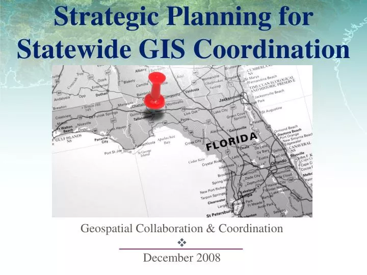
Strategic Planning for Statewide GIS Coordination. Geospatial Collaboration & Coordination December 2008. Outline. Governance of Geospatial Resources Why is GIS Coordination Necessary? A Strategic Plan for GIS Coordination What we want from the CIO Council.

E N D
Strategic Planning for Statewide GIS Coordination Geospatial Collaboration & Coordination December 2008
Outline • Governance of Geospatial Resources • Why is GIS Coordination Necessary? • A Strategic Plan for GIS Coordination • What we want from the CIO Council
“Geospatial Resources refers to more than technology. It includes people (knowledge experts), policies and processes, spatial data, web services, maps, standards, data models, applications, workflows, location dependent business rules, information management discipline, and records management related to spatial understanding and analysis.” Geospatial Resources Source: NASCIO 2008, page 1
Issues Identified • Governed for maximum benefit? • Duplicative and redundant investments? • Readily available for decisions? • Readily available to citizens? Source: NASCIO 2008, page 2
Recommendations • Geospatial domain to state enterprise • Ensure standards address geospatial • Address security concerns at state level • Geospatial data is essential records • Strive for enterprise wide licensing Source: NASCIO 2008, page 13
Beginning to see eye-to-eye • Organizations promoting GIS coordination - • Federal Geographic Data Committee • National States Geographic Information • Council
Why is GIS Coordination Necessary? • Ranked low nationally…
The Strategic Plan • Grant funded project • October 2007 – April 2008 • 3 regional user conferences 520+ stakeholders engaged • 3 regional workshops 150+ participants • Stakeholder interviews from local, county, regional, state, federal, university, private • 158 stakeholder online survey
Steering Committee • Richard Butgereit, GIS Administrator, FDEM, Steering Committee Chair • Bill Alfred, GIS Manager, FDOH, VP SHRUG • David Anderson, Florida NHD Coordinator, FDEP • Charles Russell, Systems Project Consultant, FDOR • Scott Burton, GIS Manager, Broward County Sheriff's Office • Mira Bourova, GIS Analyst, Central Florida Regional Transportation Authority (LYNX) • Jared Causseaux, GIS Coordinator, FDOT • Steve Dicks, GIS Manager, SWFWMD • Jason Drake, GIS Coordinator, National Forests of Florida • Louis Driber, Florida Geospatial Liaison, USGS • Ric Dugger, IS Manager, FSU Florida Institute of Government • Marshall Flynn, GIS Manager, Tampa Bay Regional Planning Council • Chris Friel, GIS Division Director, PhotoScience, Inc. • Lee Hartsfield, Tallahassee-Leon GIS Manager, President Florida URISA, President SHRUG • Al Hill, Volusia County GIS Manager, Chair Central Florida GIS • Stephen Hodge, Principal Researcher GIS, FSU FREAC • Kathleen O’Keife, GIS Coordinator, FWCC • Jason Rivera, GIS Operations Lead, CH2M Hill • Eric Songer, GIS/IT Manager, URS • Alexis Thomas, UF GeoPlan Center • Diana Umpierre, GIS Analyst, City of Miami
Strategic Goals • Provide leadership for coordination of GIS efforts across all levels of government throughout the state. • Invest in GIS infrastructure to fully realize the benefits of shared geospatial data and technology. • Communicate and educate all concerned about the benefits and capabilities achieved by investments in GIS to support effective decision making.
Programmatic Goals • Establish a formal framework for successful GIS coordination • Create Geospatial Programs Office headed by a GIS Coordinator • Create a Geographic Information Council • Empower Technical Advisory Committees
Early Endorsements of the Plan • State Agencies • Florida DEP • Florida DEM • Federal Agencies • Federal Geographic Data Committee • Professional Organizations • FL Urban and Regional Information Systems Association
Concurrent Goals GIS Strategic Plan NASCIO Calls to Action • Is a plan • Geospatial program office • GIS Council • Local government • Calls for a plan • A coordinated GIS program • Engage GIS Council • Support local government Sources: GIS Strategic Plan April 2008, NASCIO July 2008
Partnerships “Building collaborative relationships and governance…ensures that the state plan effectively becomes a statewide plan that is relevant to the needs and incentives of local government as well as state government. Through this approach, state government will derive greater value from its geospatial knowledge base…” Source: NASCIO 2008, page 16
What we want from State CIO Council • Members of the Council take this back to your agency heads. Ask for their support, and provide feedback. • Council consider an official endorsement of the plan. http://floridadisaster.org/gis/capgrant