Download
1 / 15
150 likes | 346 Vues
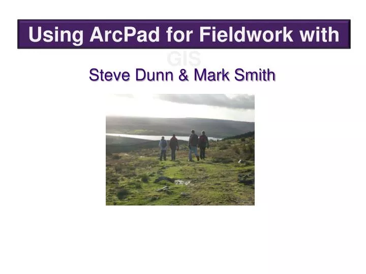
Using ArcPad for Fieldwork with GIS. Steve Dunn & Mark Smith. GIS @ Leeds. Geography Years 7 – 13 Basic GIS Skills Population Study Plate Tectonics Coursework Hurricane Tracking Census Data Analysis Fieldwork Biology Y8 – 13 History Y7-12 RS Y7 - 8.

E N D
Using ArcPad for Fieldwork with GIS Steve Dunn & Mark Smith
GIS @ Leeds • Geography Years 7 – 13 • Basic GIS Skills • Population Study • Plate Tectonics • Coursework • Hurricane Tracking • Census Data Analysis • Fieldwork • Biology Y8 – 13 • History Y7-12 • RS Y7 - 8
Let’s do some fieldwork with ArcPad
Out in the field ………. Students visit prescribed data collection points to record temperature on the pda. ArcPad software records georeferenced data points on a map of the School site.
Back in the classroom…… Students import their data into the desktop ArcGIS and using Spatial Analyst they can visualise their data for analysis and comparison. At Leeds, all Year 8 Geography classes will record data and compare their results. This enables students to view data over different days and time frames.
10:00 am Data 2:00 pm Data
Land Use survey using a digitised sketch map Year 8 students visit a National Park honeypot site to look at issues of land use and building function for tourism. Using pda’s data is collected in the field and visualised for analysis on the desktop.
LEEDS CBD LAND USE MAP 2008 Group Data collected for Year 10 coursework
Data collected using ArcPad can be presented for a variety of studies Building height & Building Function
3D analysis adds an exciting dimension to utilising field data Building Height Analysis Leeds CBD 2008
Differentiation through fieldwork analysis! Year 10 coursework linking Pedestrian Flow Data with Land Use using ArcGIS extensions Spatial Analyst and 3D Analyst
Background Information http://www.geographyteachingtoday.org.uk/images/text/FW_GIS_in_fieldwork.pdf http://www.geographyteachingtoday.org.uk/images/text/Fieldw_SD_article.pdf http://education.guardian.co.uk/elearning/story/0,,1642288,00.html
CONTACT Steve Dunn sd@gsal.org.uk