Download
1 / 15
160 likes | 428 Vues
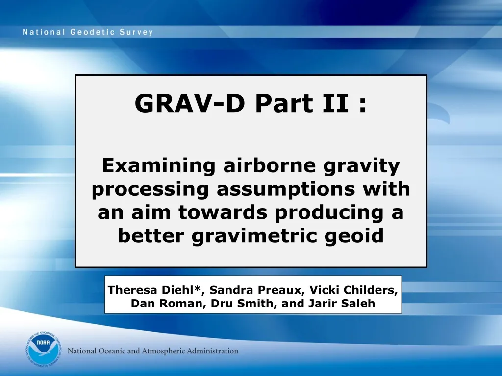
GRAV-D Part II :. Examining airborne gravity processing assumptions with an aim towards producing a better gravimetric geoid. Theresa Diehl*, Sandra Preaux, Vicki Childers, Dan Roman, Dru Smith, and Jarir Saleh. GRAV-D Project Goals.

E N D
GRAV-D Part II : Examining airborne gravity processing assumptions with an aim towards producing a better gravimetric geoid Theresa Diehl*, Sandra Preaux, Vicki Childers, Dan Roman, Dru Smith, and Jarir Saleh
GRAV-D Project Goals • NGS’ official policy: Gravity for the Redefinition of the American Vertical Datum • To create a 1-2 cm accuracy gravimetric geoid • Requirements: • Acquiring highly accurate airborne gravity data across the country • Blending the airborne data with satellite gravity (GRACE, GOCE) • Evaluating and then blending in existing surface gravity data (plus collecting new data) • NGS’ official policy: Gravity for the Redefinition of the American Vertical Datum • To create a 1-2 cm accuracy gravimetric geoid • Requirements: • Acquiring highly accurate airborne gravity data across the country • Blending the airborne data with satellite gravity (GRACE, GOCE) • Evaluating and then blending in existing surface gravity data (plus collecting new data)
A Critical Examination of Airborne Gravity Processing • Geophysical modeling requires errors of 1 mGal at best, often 3 mGals or more. • Some gravity processing equations were derived in 1960s, when precise-positioning was not possible • Assumptions were made to simplify equations and provide efficient calculation • Now, geodesy for a gravimetric geoid requires accounting for small errors
Airborne Gravity Processing • Corrections/assumptions applied to raw data: • Terrestrial Gravity Tie • Instrument drift • Aircraft vertical acceleration correction (from GPS) • A model ellipsoid and/or geoid as datum • Normal (a.k.a. theoretical) gravity • Eotvos (accounts for motion in a moving reference frame) • Free-Air correction (involves height above datum) • Off-level correction
Terrestrial Gravity Tie • Absolute gravity sites not necessarily near airport and most recent occupations vary in time. • So, we do all new absolute gravity readings and ties. • Set new gravity marks where necessary and at each airport of operations, for future use.
GRAV-D Louisiana 2008 Survey Collected at 35,000 ft, 280 knots (144 m/s) with 10 km N-S data lines and 40 km E-W tie lines. Extensive network of permanent 1s GPS stations, CORS and LSU- perfect for testing GPS positioning
Free-Air Correction • 1st order: 0.3086 mGal/m • 2nd order:Featherstone & Dentith (1997) Normal gravity at equator/ radius at equator (semi-major axis) Flattening of ellipsoid Geodetic parameter= ratio of gravitational and centrifugal forces at equator Geocentric Latitude Ellipsoidal height
Eotvos Correction • Classic text: Harlan (1968) • Provides • a full-vector equation that requires knowledge of position in a moving reference frame • an approximation appropriate for jet speeds, less precisely positioned • “Accelerations of 1 mGal should be considered in order to keep the total error within 10 mGal.” That is accomplished by dropping 2nd order terms and introducing an ellipsoid model into the equation.
Summary: Effects of processing assumptions on free-air gravity anomalies • An accounting finds that: • Differences in GPS yield gravity differences +/-1 mGal • Differences in geoid yield gravity differences +/- 0.2 mGal and a -0.4 mGal bias for Geoid03 • 2nd order free-air correction yields gravity differences of up to 1 mGal due only to height, up to 1.8 mGals at high latitude and low altitude, and up to 18 mGals at high latitude and high altitude • Full-vector Eotvos correction yields gravity differences up to +/-7 mGal, dependent on your latitude. • Other processing steps still need to be examined
Just a word on: Off-level Correction • Active debate on how to do this • Swain (1996) • Peters and Brozena (1995) • Oleson (Ph.D. Thesis) • Ridgeway (2008)