Download
1 / 11
120 likes | 447 Vues
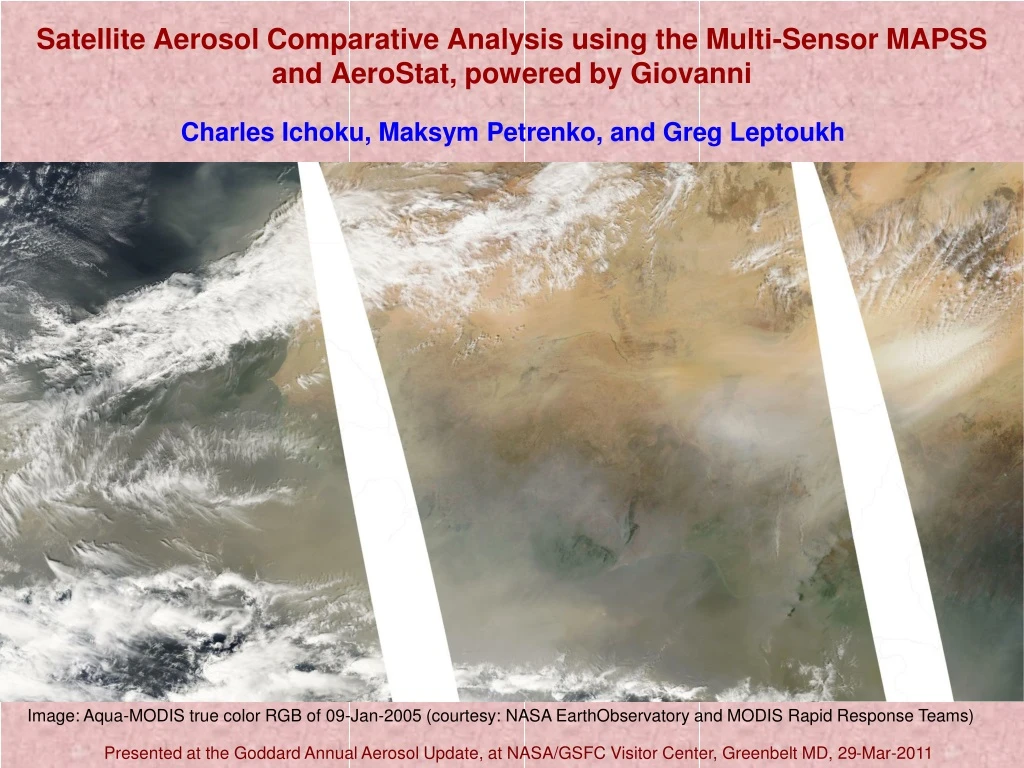
Charles Ichoku, Maksym Petrenko, and Greg Leptoukh. Satellite Aerosol Comparative Analysis using the Multi-Sensor MAPSS and AeroStat, powered by Giovanni. Image: Aqua-MODIS true color RGB of 09-Jan-2005 (courtesy: NASA EarthObservatory and MODIS Rapid Response Teams).

E N D
Charles Ichoku, Maksym Petrenko, and Greg Leptoukh Satellite Aerosol Comparative Analysis using the Multi-Sensor MAPSSand AeroStat, powered by Giovanni Image: Aqua-MODIS true color RGB of 09-Jan-2005 (courtesy: NASA EarthObservatory and MODIS Rapid Response Teams) Presented at the Goddard Annual Aerosol Update, at NASA/GSFC Visitor Center, Greenbelt MD, 29-Mar-2011
Brief History of MAPSS • 2000 – MAPSS initiated to validate MODIS aerosol products at discrete sites • First, MODIS subsetted over ground sites (mostly AERONET), and MAPSS was: • MODIS Aerosol Products Subset Statistics • Then, MODIS water vapor team requests their data added, and it became: • MODIS Atmospheric Parameters Subset Statistics • Then, AERONET data were subsetted as well, and it became: • MODIS Aerosol and Associated Parameters Spatio-Temporal Statistics • 2006 ROSES-EOS Funding to Continue Maintenance (PI: Lorraine Remer) • 2007 ROSES-ACCESS Funding to add Data from other Satellite Sensors • 2010 – Finally Aerosol Products from other sensors have joined, and it is now: • Multi-sensor Aerosol Products Sampling System • 2009 – ROSES-ACCESS Funding To Develop Statistical Analysis Tools: • Enter Sister Project: AeroStat (PI: Greg Leptoukh)
MAPSS: Multi-sensor Aerosol Products Sampling System • MAPSS uniformly samples Level-2 aerosol products and stores resulting statistics in simple CSV files • Giovanni-based WEB interface for MAPSS provides a convenient customized access to the data, with on-line plotting and data export capabilities • Aerosol data are available from different sensors • MODIS • MISR • OMI • POLDER • CALIOP • AERONET • Hard to compare and inter-validate • Different spatial and temporal resolution • Different data access strategies
Functions and Web Sites GIOVANNI – Level 3 Earth Science Data Visualization and Analysis http://disc.sci.gsfc.nasa.gov/giovanni/ MAPSS – Level 2 Aerosol Point Sampling: Timeseries & Spreadsheet http://giovanni.gsfc.nasa.gov/mapss/ AeroStat – Level 2 Aerosol Point Sampling: Scatterplots & Statistics http://giovanni.gsfc.nasa.gov/aerostat/
Outputs Time series Data Table for Spreadsheet
AERONET-Satellite AOD Differences as a Function of Number of Layers from CALIPSO Comparison of Satellite-Satellite Fine Mode Fraction at 870 nm at two locations
Future “Coherent uncertainty analysis of aerosol data products from multiple satellites” Recently Funded (2011) under: ROSES 2009 Uncertainty Analysis PI: Ichoku; Postdoc: Petrenko; Collaborators: Leptoukh, Dubovik, Omar PROJECT METHODOLOGY: Utilize MAPSS and AeroStat to do: Uncertainty Analysis at Individual Sites Global Uncertainty Analysis Maps Identification of Sources of Uncertainty Integration of Aerosol Products from Future Sensors FIRST YEAR EXPECTED MILESTONES • Preliminary assessment of all available MAPSS data. • Elaboration of the methodology for the uncertainty analysis. • Discussion of the approach with appropriate aerosol communities (AeroCenter, GEWEX Aerosol Assessment, AEROCOM, …). • Development of the analysis algorithms and software coding. • Generation of test uncertainty parameters for test cases, and detailed evaluation of their relevance and importance. •Preparation for archiving and visualization of uncertainty analysis results.
Acknowledgement • NASA HQ Program Managers: • Hal Maring. • Martha Maiden. • Steve Berrick. For tag-team Funding support of this series of projects. • AERONET Team: Brent Holben, David Giles, Ilya Slutsker • Satellite Aerosol PIs: MODIS, MISR, OMI, POLDER, CALIOP