Download
1 / 1
10 likes | 99 Vues
Agricultural Ecology Program: Understanding sources and sinks of nutrients and sediment in the upper Susquehanna River basin. Integrated modeling of nutrients and sediment across spatial scales. Large watershed-scale models. SCOPE/NANI Simple mass-balance model for N

E N D
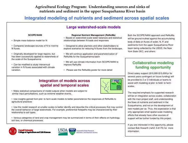
Agricultural Ecology Program: Understanding sources and sinks ofnutrients and sediment in the upper Susquehanna River basin Integrated modeling of nutrients and sediment across spatial scales Large watershed-scale models • SCOPE/NANI • Simple mass-balance model for N • Compares landscape sources of N to riverine N fluxes • Originally developed for large regions, but has been successfully applied to watersheds of the scale of the Susquehanna • Can be modified to study interannual variation in N fluxes associated with climate variation. Both the SCOPE/NANI approach and ReNuMa will be ground-truthed against the accumulating body of data on fluxes of water, N, P, and sediments from the upper Susquehanna River basin being collected by the USGS, the New York State DEC, and others. • Regional Nutrient Management (ReNuMa) • Based on watershed-scale water balances and statistical relationships between N loads and responses • Designed to allow planners and other stakeholders to explore scenarios for reducing N fluxes from the landscape. • We will continue application and parameterization of ReNuMa for the Susquehanna basin • We will use climate information from SCOPE/NANI to improve ReNuMa • Please see the ReNuMa poster for more detail Collaborative modeling funding opportunity Direct salary support ($10,000-$15,000/yr for several years contingent on future funding) will be provided to 2 or 3 individuals or teams to assist with modeling at plot- to field- to farm-scales. The required emphasis for supported research will be on integration across scales, collaboration with the main project staff, and understanding the flows of nutrients and sediment in the Susquehanna, and not on the development of new models per se. Thus, the expectation is that only appropriate small spatial scale modeling efforts that already have other sources of support will be further funded by this project. If you are interested in this opportunity, please contact Bob Howarth (rwh2; 5-6175) for more information. Integration of models across spatial and temporal scales • Make statistical comparisons of model outputs when models are subject to similar input perturbations, such as extreme weather events. • Use insights gained from plot- to farm-scale models to better parameterize the responses of ReNuMa to agricultural practices • Use the model research at smaller scales to better identify and describe the critical processes that may control the overall behavior of large watersheds. For example, preferential flowpaths may be characterized by their relationship to soil types. • Various categories of land and crop management may be summarized in terms of their effects on hydrology, soil loss, or chemical processes. Cooperative State Research, Education, and Extension Service