Download
1 / 18
180 likes | 359 Vues
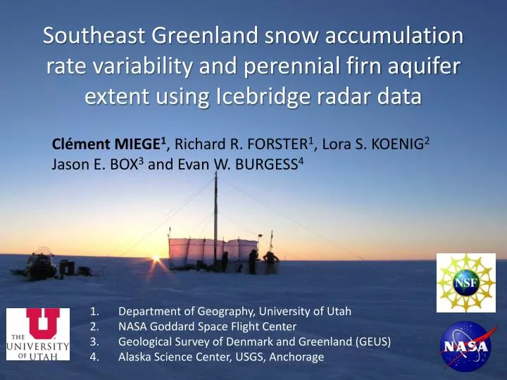
Southeast Greenland snow accumulation rate variability and perennial firn aquifer extent using Icebridge radar data . Clément MIEGE 1 , Richard R. FORSTER 1 , Lora S. KOENIG 2 Jason E. BOX 3 and Evan W. BURGESS 4. Department of Geography, University of Utah

E N D
Southeast Greenland snow accumulation rate variability and perennial firn aquifer extent using Icebridge radar data Clément MIEGE1, Richard R. FORSTER1, Lora S. KOENIG2Jason E. BOX3and Evan W. BURGESS4 • Department of Geography, University of Utah • NASA Goddard Space Flight Center • GeologicalSurvey of Denmark and Greenland (GEUS) • Alaska Science Center, USGS, Anchorage
Outline of the presentation • Introduction • Methods • Part 1: accumulation rates • Part 2: Firn aquifer • Conclusion and Future work
IntroductionMethods Accumulation rates Firn aquifer Conclusions Modeled snow accumulation rates and discrepancies (1960-2008) Net snow accumulation = only net gain of mass for Greenland ice sheet Accurate spatialand temporal accumulation rates -> important for ice sheet mass balance estimates from models • Southeast Greenland • 14% of total area • High accumulation (>1 m w. eq) • 1/3 of total accumulation • <10% of in-situ measurements • > 1 m w. eq. difference • between RACMO2 and PMM5 Box et al., 2013 Burgess et al., 2010
IntroductionMethods Accumulation rates Firn aquifer Conclusions Recent surface melt and increase of the percolation facies 1400m 1540m 1710m 1997m Vertical pipes + ice lenses complicate radar-layer identification Depth (m) Harper et al., 2012 Melt days for May-Aug 2007 (Van Angelen et al., 2012) Humphrey et al., 2012
IntroductionMethods Accumulation rates Firn aquifer Conclusions NASA Operation IceBridge (OIB) data for 2009-2013 in Southeast Greenland In recent years, important amount of airborne radar data collected over the Southeast portion of the ice sheet. Source NSIDC (http://nsidc.org/icebridge/portal/)
IntroductionMethods Accumulation rates Firn aquifer Conclusions Field and airborne data locations Two ground traverses in 2010 and 2011 -> Arctic Circle Traverses (ACT) Operation Ice Bridge Accumulation and Snow radar for 2011 Point measurements: shallow firn cores (50-60 m)
IntroductionMethodsAccumulation rates Firn aquifer Conclusions Ground-penetrating radar (GPR) and firn cores Commercial GPR from GSSI Central freq.: 400 MHz -> 30 cm (resolution) 4inch drill (US Ice drilling program) ACT10-A firn core
IntroductionMethodsAccumulation rates Firn aquifer Conclusions Accumulation and Snow radars during OIB 2011 Accumulation radar: Freq. 600 - 900 MHz -> 65 cm vertical resolution (Rodriguez-Morales et al., 2013) Firn aquifer Recent accumulation rates Snow radar: Freq. 2-8 GHz -> 5 cm vertical resolution (Panzer et al., 2013) 2010 surface OIB radar data, Leuschen, 2011 NSIDC
IntroductionMethodsAccumulation rates Firn aquifer Conclusions Isochrone tracking and dating ACT11-C density ACT11-C 1 2 3 4 5 -> 2008 -> 1999 -> 1995 -> 1991 -> 1983 • Process: • Get depth-age scale from firn core(s) • Convert radar TWT to depth using relationship between dielectric • constant and firn-core density from Kovacs et al., 1995. • 3. Use spatially interpolated density to calculate accumulation rates in w. eq. • Errors: • Error in radar depth varies along the radar profile as density changes • Error in firn-core dating (1 year)
Introduction MethodsAccumulation rates Firn aquifer Conclusions Accumulation rates derived from Accumulation Radar West East Averaged accumulation rates derived for 4 different time periods Averaged accumulation rates compared with Calibrated Polar MM5
Introduction MethodsAccumulation rates Firn aquifer Conclusions Southeast Greenland 2011 snow accumulation (Snow Radar) Calibrated Polar MM5 mean accumulation for 1958 - 2008 Accumulation for 2010/2011, derived from OIB Snow Radar Density = 400 kg m-3 is used to convert snow radar snow thickness to w. eq. Polar MM5 acc. data from Burgess et al. JGR, 2010
Introduction MethodsAccumulation rates Firn aquiferConclusions Field observations of the perennial firn aquifer (PFA): April 2011, 2013 Surface (0 m) Firn and ice lenses (5-6m) Water top (12 m) Forster et al., in review Under water (13 m) • Perennial firn aquifer (PFA): • Extensive storage of liquid water atdepth • (> 25 km in this profile) • Follows local topography (unconfined aquifer) • Persists over the winter Snapshots from borehole camera taken at PFA field work site (April 2013)
Introduction MethodsAccumulation rates Firn aquiferConclusions PFA also detected with OIB Accumulation Radar (AR) PFA shallowest spots are located into topographic depression ATM data fromKrabill, 2011 NSIDC
Introduction MethodsAccumulation rates Firn aquiferConclusions Regional mapping of the firn aquifer in April 2011 SE • Perennial firn aquifer extent: • Mean depth to PFA top: 23 m • Average elevation : 1600m • Observations are limited to flight paths. Example: Southern tip, only 2000-m contour • Only surface of the water is detected, no volume estimate S Forster et al.
Introduction MethodsAccumulation rates Firn aquiferConclusions PFA evolution in 2011 and 2012 OIB 2011 OIB 2012 OIB 2011 + 2012 RACMO data Van Angelen et al., 2012 Firn aquifer is found in high accumulation areas
Introduction MethodsAccumulation rates Firn aquiferConclusions PFA temporal evolution over the ACT-11 traverse line No significant increase of the aquifer surface between 2011 and 2012 -> Firn aquifer should drain to readjust from summer melt
Introduction MethodsAccumulation rates Firn aquifer Conclusions Summary • Accumulation rates: • OIB Accumulation Radar: • Capture recent multi-year internal layers (no annual signal) • Accumulation trend overall agrees with the model • Isochrone tracking is ambiguous due to surface melt/percolation features • OIB Snow Radar: • Last year of accumulation -> improve spatial resolution of accumulation • Perennial Firn aquifer: • Extensive year-round liquid water storage • Associated with high melt rates and high accumulation • Will have implication for: • Water storage + drainage mechanisms • Ice sheet energy (able to bring heat to depth) • No water volume estimate yet
Introduction MethodsAccumulation rates Firn aquifer Conclusions Future work Estimate water volume in the firn aquifer (-> field work in 2013, 2014) Add the 2013 OIB data to the current accumulation/aquifer maps Reduce density uncertainties along low to high accumulation transects Map aquifer past extent: use of depth sounder radar data Many thanks to the field teams, ice drilling program (IDDO), Polar Field Services and CReSIS team for making this study possible! Thanks for your attention !