Download
1 / 9
90 likes | 275 Vues
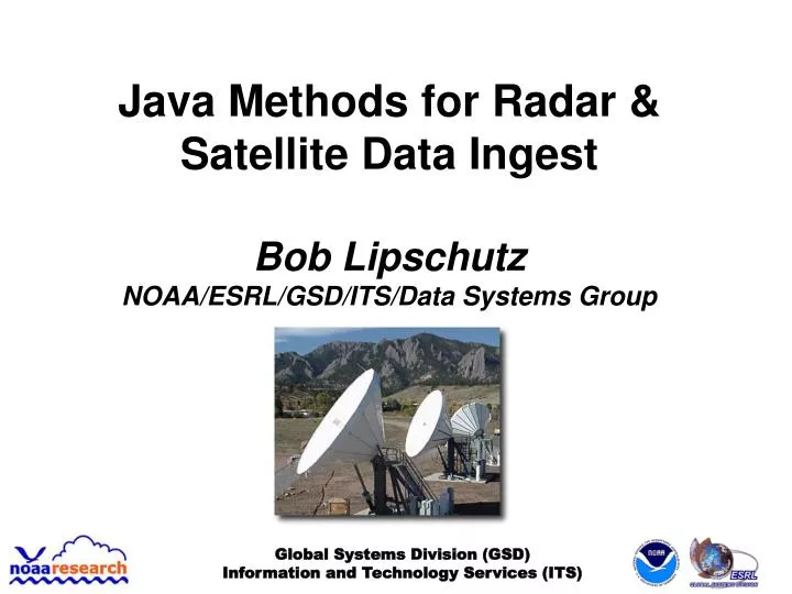
Java Methods for Radar & Satellite Data Ingest Bob Lipschutz NOAA/ESRL/GSD/ITS/Data Systems Group. Global Systems Division (GSD) Information and Technology Services (ITS). GSD’s Central Facility. Acquires conventional and experimental weather data for GSD’s R&D projects, e.g.,

E N D
Java Methods for Radar & Satellite Data Ingest Bob Lipschutz NOAA/ESRL/GSD/ITS/Data Systems Group Global Systems Division (GSD) Information and Technology Services (ITS)
GSD’s Central Facility • Acquires conventional and experimental weather data for GSD’s R&D projects, e.g., • Rapid Update Cycle (RUC), Rapid Refresh, HRRR, FIM • Local Analysis and Prediction System (LAPS) • Meteorological Assimilation Data Ingest System (MADIS) • Local ground station capability for “raw” GOES Variable (GVAR) data (terminated Oct 7, 2010!) • Originally for GOES I-M Product Assurance Plan (GIMPAP) activities, as well as support for initial AWIPS development • Level-II/III NEXRAD, WSI NowRAD, NSSL mosaics • Numerous data sets from NCEP, NESDIS, NASA, SSEC, Aviation WxCenter (AWC),... Global Systems Division (GSD) Information and Technology Services (ITS)
Global Systems Division (GSD) Information and Technology Services (ITS) NEXRAD Level-II Ingest • Evolution of methods: 90’s – 4/2010 • LDM “Client” to capture Level-II data stream to disk • LdmNexrad2Tar(GZ) • LdmNexrad2Flat – “raw” format ala Unidata’smotherload server • Readable in IDV • Nexrad2NetCDF methods to prepare data for LAPS & other applications • LdmNexrad2NetCDF – tilt-by-tilt, on-the-fly • ArchiveNexrad2NetCDF – by volume scan • Currently configured for 104 radars • Now in testing: Unidata’s java netcdf, aka toolsUI (netcdfAll.jar) • FSL4 ^FSL\.TEXT\.MMXX55\.KBOU\..*\.Nexrad2Flat\.(KFTG)\.(K.*)\.raw • java -cp /usr/local/rtsys/bin/netcdfAll.jar ucar.nc2.dataset.NetcdfDataset -out /public/data/radar/wsr88d/wideband/\1/nc/\2.nc -in
Global Systems Division (GSD) Information and Technology Services (ITS) GOES Satellite Ingest • Evolution of methods at GSD: ~1980 – 10/2010 • Historically, C/C++ ingest clients to capture “raw” GOES (GVAR) from downlink • Gvar(Imager|Sounder)2NetCDF to prepare data for LAPS & other applications • Now: McArea2NetCDF java program • Cron job acquires data from NESDIS McIDAS/ADDE servers • Creates “GVAR netCDF” files ~identical to earlier methods • Uses java netCDF package (including McIDAS classes) • ncML instead of cdl for file content definition • Also can acquire MSG, MTSAT, FY-2 data from NESDIS (but not in GVAR-style format)
Global Systems Division (GSD) Information and Technology Services (ITS) Configuring McArea2NetCDF • McIDASArea2NetCDF.pl wrapper script for java program • Command line (15-min cron job) • /usr/local/rtoper/scripts/McIDASArea2NetCDF.pl -c /usr/local/rtoper/etc/McArea2NetCDF_gvar_goes-west_fsl-pacus.cfg -l /usr/local/rtoper/log/gvar/goes-west/fsl-pacus-p McArea2NetCDF.GOESWest.fsl-pacus • Config file – McArea2NetCDF_gvar_goes-west_fsl-pacus.cfg • channel = 11uxmlpath = /usr/local/rtoper/etc/area2nc_gvar_goes-west_fsl-pacus_ir.xmloutpath = /tmp_data/gvar/goes-west/raw/image/fsl-pacus/netcdfareafile = adde://SATEPSDIST3E.NESDIS.NOAA.GOV/imagedata?group=GWR&descr=GWPACU04I4&cal=raw&unit=raw&size=all&debug=true
Global Systems Division (GSD) Information and Technology Services (ITS) Configuring McArea2NetCDF - 2 • ncML file – area2nc_gvar_goes-west_fsl-pacus_ir.xml • <?xml version="1.0" encoding="UTF-8"?><netcdfxmlns="http://www.unidata.ucar.edu/namespaces/netcdf/ncml-2.2"> <dimension name="x" length="2003" /> <dimension name="y" length="986" /> <dimension name="orbitAttitudeLen" length="336" /> <dimension name="dimNameLength" length="1" /> <attribute name="startLine_g11" value="2512" type="int" /> <attribute name="startElem_g11" value="13500" type="int" /> <attribute name="lineRes" value="4" type="int" /> <attribute name="elemRes" value="4" type="int" /><!-- variable name="lat" shape="y x" type="float"> <attribute name="long_name" value="latitude coordinate" /> <attribute name="units" value="degrees_north" /> <attribute name="standard_name" value="latitude" /> <attribute name="_CoordinateAxisType" value="Lat" /> </variable --> [SNIP]</netcdf>
Global Systems Division (GSD) Information and Technology Services (ITS) Merged GOES-11/-13 IR Image* * Using MergeConusImages, a java netCDF program
Global Systems Division (GSD) Information and Technology Services (ITS) Final Thoughts • Community moving to CF (Climate and Forecasting) standards for netCDF • Makes using/sharing data easier (e.g, THREDDS) • Glaps2CF java program converts GLAPS output to CF format for SOS user • toolsUI/ncML methods facilitate virtualizing data (e.g., remote files, munged attributes and variable names) • Ultimately, compatibility w/ NWS’ 4D Wx Cube (see Chris M.’s talk tomorrow)
Questions? Global Systems Division (GSD) Information and Technology Services (ITS)