Download
1 / 26
260 likes | 426 Vues
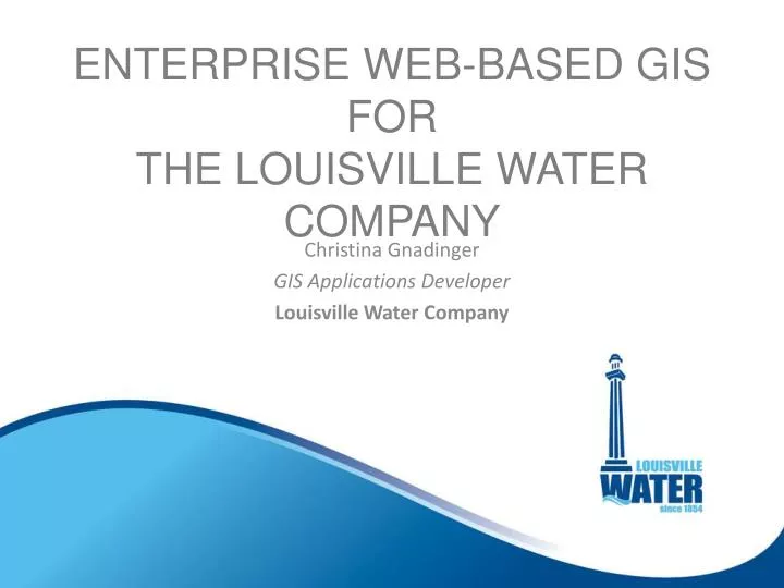
ENTERPRISE WEB-BASED GIS FOR THE LOUISVILLE WATER COMPANY. Christina Gnadinger GIS Applications Developer Louisville Water Company. Agenda. LWC Overview Current GIS Resources & Strategies From Old to New What’s Next? Wrap Up. Louisville Water Company. Louisville Water Company.

E N D
ENTERPRISE WEB-BASED GISFORTHE LOUISVILLE WATER COMPANY Christina Gnadinger GIS Applications Developer Louisville Water Company
Agenda • LWC Overview • Current GIS Resources & Strategies • From Old to New • What’s Next? • Wrap Up
Louisville Water Company > 302,000 SERVICE CONNECTIONS 620 SQUARE MILE SERVICE AREA > 4,100 MILES OF PIPE > 51,000 VALVES > 23,500 FIRE HYDRANTS
GIS Resources • LWC GIS infrastructure
GIS Resources Base Map Information
Current GIS Strategy • Varying levels of internal GIS users Power Users / Editors General Users Mobile GIS Users • General Users
Existing Web Application Launched in 2004 ArcIMS 9.3.1 Complex Dynamic Services
How do we improve the new application? Design Performance Functionality
Design Challenges • Aesthetics • Efficiency • Realistic Expectations
PERFORMANCE Challenges • Virtual Server Configuration How many servers? How powerful should they be?
PERFORMANCE Challenges • System Cache Strategies 256 vs. 512 pixel tiles? Compact vs. Exploded? PNG8, 24 or 32? Local Server Storage vs. Network? Which is faster?
FUNCTIONALITY Wouldn’t it be nice to give your General Users functional GIS abilities within the web application? Research Reporting Map Making Digital Drawings System Linkages Valve Tracing
FUNCTIONALITY • GIS Research Tools, Basic Reporting, & Map Making
FUNCTIONALITY • Digital Drawing Access AsBuilts Construction Drawings System Infrastructure Maps
FUNCTIONALITY • Links Between Systems Project Tracking Plant DrawingManagement System
FUNCTIONALITY • Valve Tracing
FUNCTIONALITY • Other Tools Display GPS Locations Draw and Sketch Tools Google Street View
FUNCTIONALITY • Modernized Interface
What’s next? Web Application • Upgrade to ArcGIS for Server 10.1 / Flex Version 3.0 + • 'SPIN' off web applications
What’s next? Other GIS Development • Strategies driven by work process needs • Mobile Development
WRAP UP • LWC Overview • Current GIS Resources & Strategies • From Old to New • What’s Next? • Wrap Up
Questions? Christina Gnadinger CGnadinger@lwcky.com