Download
1 / 15
150 likes | 267 Vues
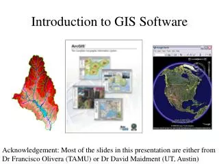
GIS Software. Jeremy Petersen. What is it?. A tool for managing the data we collect. Strengthens the decision making process. Analyze large operations at the touch of a button. Why?. An increased adoption of technology throughout the world. Advances in data collection.

E N D
GIS Software Jeremy Petersen
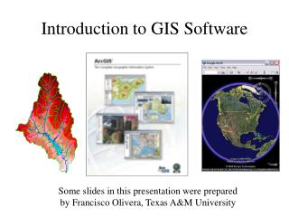
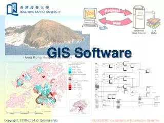
What is it? • A tool for managing the data we collect. • Strengthens the decision making process. • Analyze large operations at the touch of a button.
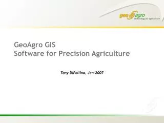
Why? • An increased adoption of technology throughout the world. • Advances in data collection. • The ongoing push for GPS Technology.
Who uses it? • Producers • Environmental Programs • Government
What is available? • Just as any software there is free and costly versions available. • Hundreds of different programs available to producers.
Open Source • MapWindow GIS • Quantum GIS Software • Whitebox Geospatial Analysis
Purchase • SST Summit/Toolbox • Apex • Farmworks • SMS
SST Software Located right here in Stillwater, Ok Established in 1994 43 States, 8 Canadian Provinces, 22 countries Unbiased facilitator and custodian
Customers SST targets retailers. Retailers sell the service to their customers.
FarmRite Data processing tool Allows access to all of the capabilities of a GIS without a learning curve or processing the data yourself. 31.5 Million acres syncing into Stillwater
What is the output? We’ve seen what all we can do as far as uploading data and setting up our fields. How do we make decisions? What do the records look like?
Citations http://precisionag.com/news/?storyid=2192 http://www.sstsoftware.com/