Download
1 / 25
250 likes | 413 Vues
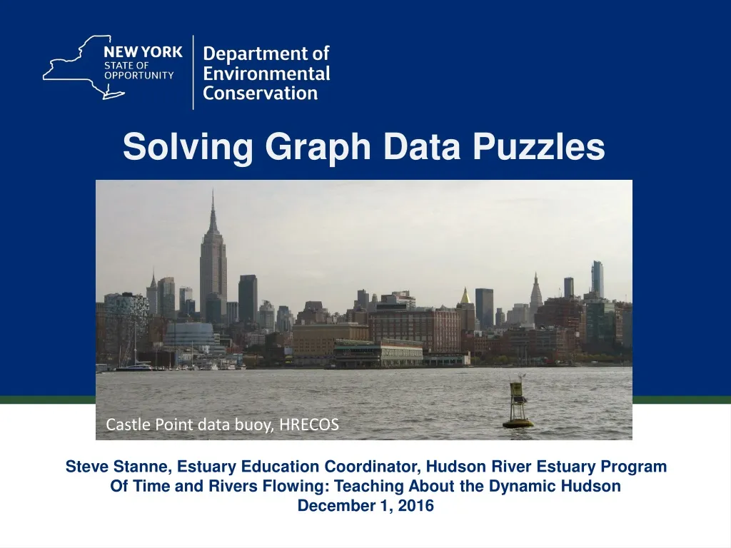
Solving Graph Data Puzzles. Castle Point data buoy, HRECOS. Steve Stanne, Estuary Education Coordinator, Hudson River Estuary Program Of Time and Rivers Flowing: Teaching About the Dynamic Hudson December 1, 2016. Using HRECOS Hudson River Environmental Conditions Observing System.

E N D
Solving Graph Data Puzzles Castle Point data buoy, HRECOS Steve Stanne, Estuary Education Coordinator, Hudson River Estuary Program Of Time and Rivers Flowing: Teaching About the Dynamic Hudson December 1, 2016
Using HRECOS Hudson River Environmental Conditions Observing System www.youtube.com/watch?v=z5aG5f-Rlaw
HRECOS Current Conditions page Use dropdown menus to choose station, parameter, etc. Choose Units and whether to plot Continuous readings or Daily averages. Use Start Date/End Date or Set Start/Set End to choose dates (within limits - click ? in the red button for more details). Plot one parameter or compare two in one graph.
1. NOAA (National Oceanic & Atmospheric Administration) tide gauge at the Battery, New York City: http://tidesandcurrents.noaa.gov/geo.shtml?location=8518750 In the Products column, click on Preliminary Water Level to see graph. 2. NOAA data buoy 44065 in the Atlantic Ocean at the entrance to New York Harbor: http://www.ndbc.noaa.gov/station_page.php?station=44065 Scroll down the page to view or graph conditions. 3. US Geological Survey Hudson River gages (Albany, Poughkeepsie, links to others): http://ny.water.usgs.gov/projects/dialer_plots/saltfront.html 4. HRECOS (Hudson River Environmental Conditions Observing System) network: http://www.hrecos.org/index.php Click on Current Conditions; select sites & parameters; create graphs. 5. NYHOPS (New York Harbor Observing & Prediction System): http://hudson.dl.stevens-tech.edu/maritimeforecast/ Click on Forecast Region; select parameters.
Interpreting graphs: What is the story that each of these graphs tells? Working in small groups, answer these questions: What time period is shown in this graph? Where is the measurement being made? What parameter is being measured in this graph? What happens to it over the time period shown? What is your hypothesis about what caused this to happen? Measurements of what other parameters would help you test and verify your hypothesis? HRECOS Current Conditions page
2011 DO-01
2011 DO-02
2016 DO-03
2011 Sal-01
2014 Sal-02
Effects of flooding due to runoff are generally limited to the upper estuary.
2011 WL-01
2012 WL-02
2016 WL-03
For more information, contact Steve Stanne, EducationCoordinator NYSDEC – Hudson River Estuary Program &NYS Water Resources Institute – Cornell University 21 South Putt Corners Road New Paltz, NY 12561 845 256-3077 stephen.stanne@dec.ny.gov