Download
1 / 18
180 likes | 320 Vues
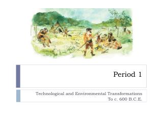
Unit 1: Technological and Environmental Transformations, to c. 600 BCE. Outline for Two Week Unit: Week One: Big Geography: Early Human Migrations Agricultural Revolution Week Two: Earliest Civilizations Early Belief Systems Timed Writing: Comparative Essay on Civilizations

E N D
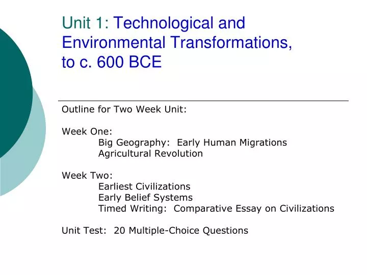
Unit 1: Technological and Environmental Transformations, to c. 600 BCE Outline for Two Week Unit: Week One: Big Geography: Early Human Migrations Agricultural Revolution Week Two: Earliest Civilizations Early Belief Systems Timed Writing: Comparative Essay on Civilizations Unit Test: 20 Multiple-Choice Questions
Key Concept 1.1. Big Geography and the Peopling of the Earth “Maps are tools that help students investigate the past and the present as they explore historical connections. Additionally, maps can be used to uncover the worldview of both cartographers and societies of the past, as well as students themselves.” Deborah Smith Johnston, World History Matters
Instructions for Mental Maps Directions: • Sketch a map from memory to show the major continents and bodies of water. • Be sure to take into account the relative sizes of the continents to each other and to the bodies of water. • Some other factors to consider are that • Asia is the largest and Africa the second largest continent. • The major oceans comprise about 2/3 of the earth’s surface. • The west coast of South America lines up with the east coast of North America. • Canada is twice as big as the USA.
Mental Maps p. 2 • Label these regions: Middle East, North Africa, South Asia, East Asia, South America, Mesoamerica • Rivers: Tigris & Euphrates, Nile, Indus, Yellow (Huang He) • Ag. Centers p. 26 • Pastoralism p. 26 (central asia) • Core civs p. 28 • Empires p. 28 • New religions p. 30 • Trade routes p. 30
Regions in World History • Course Description – pages 6 & 7 • Used in both the multiple-choice and essay questions
Key Concept 1.2. The Neolithic Revolution and Early Agricultural Societies • In his book Guns, Germs, and Steel, Jared Diamond raises a series of questions about the disparity in economic development around the world. His answers highlight some key historiographical debates about the origins of different rates of economic development in the past.
:Zones of Interaction Curriculum Module • Intro to Curriculum Module and David Christian’s thesis 9
Key Concept 1.2. The Neolithic Revolution and Early Agricultural Societies, Curriculum Module, p. 39 - 42 • Intro to Curriculum Module and David Christian’s thesis • Directions: • Read pp. 39 – 42 to • Identify types of evidence • Record evidence on map • Create a timeline of the Silk Roads • Discuss Christian’s argument about Prehistory of the Silk Roads
Types of Evidence Christian uses • Cultural • Languages: multi-use (trade, migration, pastoral) • Religious: use of drugs!!! • Technological • Metallurgy: farming • Domestication of animals for agriculture & travel • Horse & Chariot • Archaeological • Burial mounds • Use of cultural tools-general
Models of Teaching World History in the United States, Cohen pkt, p. 5 • Each group will discuss one of the models of teaching world history and then explain the goal of the model they discussed.
Key Concept 1.3. The Development and Interactions of Early Agricultural, Pastoral, and Urban Societies • Vocabulary, Cohen pkt p. 7 • Civs chart, Cohen pkt, pp. 9 - 11
Strategies for Historical Thinking Skills Typical Lesson for Teaching Comparison: “Objective: Students compare state building in Rome, Han, Persia, and Gupta. Students gather evidence about two of these empires’ techniques of imperial administration to identify the similarities and differences in how the rulers of two classical empires used legal systems and bureaucracies to run their government.”
Seminar on “CIVILIZATION”, pp. 12-13 Directions for Socratic Seminars Understand the question(s) for the seminar. Read the source(s). Take notes from the sources to help you answer the question(s). Comment about one of the following (5 pts.) information in the sources. validity of evidence used by the author(s) the strength of the argument (thesis) to respond to a question asked by someone else to respond to a comment made by someone else Ask a question about one of the following (5 pts.) information in the sources, e.g. vocabulary validity of evidence used by the author(s) the strength of the argument (thesis) to respond to a question asked by someone else to respond to a comment made by someone else.
Socratic Seminar on “Civilization?” Directions: Use the following quotes to discuss the diverse interpretations of the term “civilization”. What are the issues involved in using “civilization” as an organizing principle in world history? • Now, read and discuss the Quotes on Civilization
Essay Writing in APWH • Rubrics • Charts for note-taking • Practice parts of the essay