Download
1 / 10
100 likes | 222 Vues
Snow Analysis for CFSRR. George Gayno, Jack Woollen, Ken Mitchell, Bob Kistler. FIRST CFSRR ADVISORY BOARD MEETING 7-8 NOVEMBER 2007. Background. Current GFS OPS updates snow pack once per day (00z). SNO2MDL program maps NESDIS IMS and AFWA snow analysis data to physics grid.

E N D
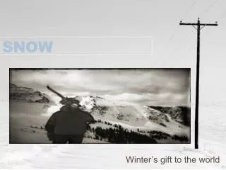
Snow Analysis for CFSRR George Gayno, Jack Woollen, Ken Mitchell, Bob Kistler FIRST CFSRR ADVISORY BOARD MEETING 7-8 NOVEMBER 2007
Background • Current GFS OPS updates snow pack once per day (00z). • SNO2MDL program maps NESDIS IMS and AFWA snow analysis data to physics grid. • Output from SNO2MDL ingested by SFC-CYCLE program. • Snow updated on model grid via direct replacement. • CFSRR will follow similar procedure.
NESDIS IMS Data • IMS – Interactive Multisensor Snow and Ice Mapping System. • NESDIS-SSD analyst uses satellite imagery and snow detection algorithms to determine snow cover over NH once per day. • Cover is yes/no flag. • 4 km resolution since Feb. 2004. • Product started Feb. 1997 (23 km resolution). • NIC in Suitland assumes responsibility for IMS starting Feb. 2008.
AFWA Snow Depth Data • AFWA SNODEP model produces global snow depth analysis once per day (47 km resolution). • Uses microwave-based detection algorithms, in-situ reports of snow depth, and its own climatology. • Analyst adjusts analysis based on satellite imagery in NH each day and in SH twice per week. • Product has long history. Data available for all years of CFSRR. • 1979-1998 acquired from NCDC by Mike Fennessy (COLA), who Gribbed it with help from EMC. • EMC filled some gaps and removed several “bad” analyses. • 2002 to present in Air Force non-grib format used in present ops (via EMC archive of Jesse Meng) • 1999-2001 extracted from NCO run history files.
SNO2MDL Program • Maps IMS and AFWA snow data to any GFS (or NAM) grid. • Structured around IPOLATES interpolation libraries. • Nearest neighbor or “budget” interpolation only. • If IMS indicates >50% coverage, depth set to the greater of AFWA value or 2.5 cm. • If IMS not available, depth set from AFWA data. • Will be run as pre-processing step to create T382 snow data for all days in CFSRR period. • If IMS and AFWA data missing, model will “cycle” the snow depth. • Happened for about 65 days through period.
More Information • Current IMS, AFWA, and GFS snow data may be viewed at: • http://www.emc.ncep.noaa.gov/jcsda/ggayno/home.html