Download
1 / 18
180 likes | 373 Vues
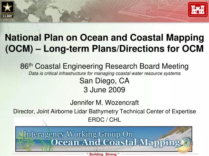
National Plan on Ocean and Coastal Mapping (OCM) – Long-term Plans/Directions for OCM. 86 th Coastal Engineering Research Board Meeting Data is critical infrastructure for managing coastal water resource systems San Diego, CA 3 June 2009. Jennifer M. Wozencraft

E N D
National Plan on Ocean and Coastal Mapping (OCM) – Long-term Plans/Directions for OCM 86th Coastal Engineering Research Board Meeting Data is critical infrastructure for managing coastal water resource systems San Diego, CA 3 June 2009 Jennifer M. Wozencraft Director, Joint Airborne Lidar Bathymetry Technical Center of Expertise ERDC / CHL
IWG-OCM established • established by the Joint Subcommittee on Ocean Science and Technology (JSOST) of the National Science and Technology Council (NSTC) Committee on Environment and Natural Resources (CENR) and Committee on Science (CS) • in response to recommendations of the U.S. Ocean Action Plan and the 2004 National Research Council report, A Geospatial Framework for the Coastal Zone: National Needs for Coastal Mapping and Charting
Activities prescribed by the U.S. Ocean Action Plan • development of an annual inventory of Federal, Federally-funded, and non-Federal governmental ocean and coastal mapping and charting programs, operations, and prioritized needs; • assessment and reporting on common and shared needs for development of coordinated programs; • coordinate and leverage resources and efforts across the Federal sector and with industry, academic, NGO, and non-Federal government entities; • set priorities for standards development and developing strategies for promulgation of standards for data acquisition, data, metadata, tools and products; • assessing and reporting on research and development needs for more effective development, delivery, and application of ocean and coastal mapping data, tools, products, and services; and • development of shared and standardized mechanisms for processing, archiving, and distribution of ocean and coastal mapping data, tools, products, and services.
IWG-OCM Inventory WorkshopSeptember 2007 GOAL: provide a clearinghouse for data and interpretive information, and a registry of completed and projected mapping activities, that will reduce duplication of efforts and enable cooperative activities OUTCOMES: adoption of Geospatial One Stop as the tool to build the OCM Inventory • Raised awareness: 25,000 metadata records input to GOS during FY2008 • Improved the discoverability of OCM records through geographic and query search wizard by working with GOS team • Metadata guidance for improved performance: • how to get metadata harvested • how metadata needs to be written to be discoverable within GOS • how metadata needs to be written so that the GOS listings will provide users with enough information to evaluate the metadata
IWG-OCM Inventory Next steps: • The three efforts above will continue: raising awareness, improving GOS, and helping people work the system • Assess staffing strategy: volunteer vs dedicated • USGS is working with NGDC on a marine gazetteer project that will make GOS geographic search functionality work better for OCM regions
IOCM Community VISION VISION THEMES • • Integrate & balance • Communicate & demonstrate our value • • Commitment • Partnerships VALUES/ GUIDING PRINCIPLES CORE PURPOSE • Leveraging off each other’s efforts • • Agency cooperation & collaboration • Congressional interest & support February 2008 Multi-agency Multi-discipline Federal State Academia Industry Users • Each agency and organization is dedicated to its own mission and the work to achieve that mission. • We are committed to working together to leverage resources, share expertise, avoid duplication and achieve better results. To promote the efficient and effective development and application of ocean and coastal mapping to support informed decision-making. • • Communication • Coordination • • Collaboration • Community efforts will result in more, better mapping • • Application driven • Guided by customer needs • Standards for interoperability • Emerging technologies III COMMUNITY BUILDING II TOOL DEVELOPMENT Identify tools required to promote the development & application of ocean & coastal mapping to support decision-making Describe a scalable project-oriented model that demonstrates the benefit of an integrated coastal and ocean mapping program Increase awareness, build advocacy & support implementation of IOCM I MODEL OF SUCCESS DESCRIPTION OF THE FUTURE CHALLENGES ASSUMPTIONS • • Long-term sustainable programs that support our scientific missions & programs • • A significant increase in the pace of coastal & sea-floor mapping through federal-state cooperation & partnerships to meet public needs. • One stop data discovery • • Mapping is seen as a critical tool for informed decision-making • • Map Once - use & fuse many times! • Increasing stewardship for the ocean environment • Federal bureaucracy & agency buy-in • Cultural & language differences • Funding • Change is hard • The National OCM Community is a powerful force in advancing national ocean & coastal mapping. • NO NEW Funding within the next 3 - 5 years
IOCM Community VISION VISION THEMES • • Integrate & balance • Communicate & demonstrate our value • • Commitment • Partnerships VALUES/ GUIDING PRINCIPLES CORE PURPOSE • Leveraging off each other’s efforts • • Agency cooperation & collaboration • Congressional interest & support • Each agency and organization is dedicated to its own mission and the work to achieve that mission. • We are committed to working together to leverage resources, share expertise, avoid duplication and achieve better results. To promote the efficient and effective development and application of ocean and coastal mapping to support informed decision-making. • • Communication • Coordination • • Collaboration • Community efforts will result in more, better mapping • • Application driven • Guided by customer needs • Standards for interoperability • Emerging technologies III COMMUNITY BUILDING II TOOL DEVELOPMENT Identify tools required to promote the development & application of ocean & coastal mapping to support decision-making Describe a scalable project-oriented model that demonstrates the benefit of an integrated coastal and ocean mapping program Increase awareness, build advocacy & support implementation of IOCM I MODEL OF SUCCESS DESCRIPTION OF THE FUTURE CHALLENGES ASSUMPTIONS • • Long-term sustainable programs that support our scientific missions & programs • • A significant increase in the pace of coastal & sea-floor mapping through federal-state cooperation & partnerships to meet public needs. • One stop data discovery • • Mapping is seen as a critical tool for informed decision-making • • Map Once - use & fuse many times! • Increasing stewardship for the ocean environment • Federal bureaucracy & agency buy-in • Cultural & language differences • Funding • Change is hard • The National OCM Community is a powerful force in advancing national ocean & coastal mapping. • NO NEW Funding within the next 3 - 5 years
Guides a common direction to address the needs of the ocean and coastal mapping community • Based on coordination, communication, and partnerships • Recognizes the need to Communicate and Demonstrate value
Common Specifications for Airborne Coastal Mapping and Charting Data • January 2009 interagency workshop supporting IWG-OCM and the CMTS • GOALS: • Communicate agency requirements • Develop consensus around appropriate specification elements • Identify required metadata elements
Common Specifications for Airborne Coastal Mapping and Charting Data • OUTCOMES: • Draft survey specifications based on survey type • Metadata template • QA/QC recommendations • Waveform lidar format
Mapping coordination meeting • FY09/FY10/ARRA funded mapping activities
H.R. 146, TITLE XII, SUBTITLE BOcean and Coastal Mapping Integration Act • develop a coordinated and comprehensive Federal ocean and coastal mapping plan for the Great Lakes and coastal state waters, the territorial sea, the exclusive economic zone, and the continental shelf of the United States that enhances ecosystem approaches in decision-making for conservation and management of marine resources and habitats, establishes research and mapping priorities, supports the siting of research and other platforms, and advances ocean and coastal science
H.R. 146, TITLE XII, SUBTITLE BOcean and Coastal Mapping Integration Act Reporting requirements (18 months + biennially thereafter) • an inventory of ocean and coastal mapping data (age, source, spatial resolution) • identification of priority areas in need of survey coverage with resource plan • the status of efforts to produce integrated digital maps of ocean and coastal areas; • a description of any products resulting from coordinated mapping efforts • documentation of minimum and desired standards for data acquisition and integrated metadata; • status of Federal efforts to leverage mapping resources and activities • define resource requirements for organizations to meet the goals of the program • status of efforts to declassify data gathered by the Navy and NGA • status of efforts to coordinate Federal programs with state and local programs • description of efforts of Federal agencies to increase contracting • an inventory and description of any new Federal or federally funded programs conducting shoreline delineation and ocean or coastal mapping since the previous reporting cycle
A vision for the future • A broad OCM community • A clear understanding of information required by ocean and coastal decision-makers and resource managers • A comprehensive, coordinated, long-term, sustainable OCM program providing the basic data and derived information products at appropriate scales and time intervals to support ecosystem-based approaches to resource management • One-stop data and product discovery