Download

1 / 19
190 likes | 288 Vues
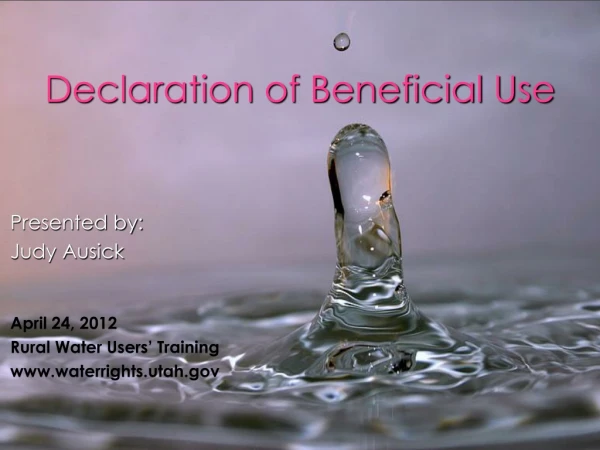
Beneficial Use at Deer Island A Decade of Design and Implementation. Presented by Walter Dinicola, P.E., and Wendell Mears Anchor QEA, LLC George Ramseur Mississippi Department of Marine Resources. October 23, 2012. Presentation Outline. Deer Island Background Location and History

E N D
Beneficial Use at Deer Island A Decade of Design and Implementation • Presented by • Walter Dinicola, P.E., and Wendell Mears • Anchor QEA, LLC • George Ramseur • Mississippi Department of Marine Resources October 23, 2012
Presentation Outline • Deer Island Background • Location and History • Habitat and Structure • Beneficial Use (BU) • History of BU Program and Law • State of Mississippi BU Master Plan • Deer Island Marsh Restoration Project • Mississippi Department of Marine Resources (DMR) • U.S. Army Corps of Engineers (Corps) • Port of Gulfport (Port) • Future of BU at Deer Island and in Mississippi
Location and History • Harrison and Jackson County, off the coast of Biloxi • Remnant of nearshore area • Native American population • Europeans arrive in early 1700s • Farming and fishing communities established • Last residents left in 1969, following Hurricane Camille • Purchased by the State in 2003 as part of the Coastal and Estuarine Land Conservation Program
Habitat and Structure • Variety of habitats, from sandy beaches to marshy interior • Vast expanses of pine trees inhabited the island • Habitat severely damaged by tropical storms • Tree loss and lack of fires encouraged brush and shrubs to spread • Decaying root structure provides an erosion pathway
Exposed Root Mass Deer Island – Northern Shoreline
Habitat and Structure • Land loss estimated at 2 acres per year • Island has decreased approximately 30% to 50% since the mid-1800s • Eastern portion, “Little Deer,” is not visible at low tide
History of BU Program • 2001– Corps and DMR identify potential BU sites • 2002– DMR develops the Long-Term Comprehensive Master Plan for Beneficial Uses of Dredged Material along Coastal Mississippi – Deer Island identified as a pilot project for future BU sites • 2008– Beneficial Users Group (BUG) formed – State and federal agencies, co-facilitated by DMR and the Corps, Mobile District – Private stakeholders (e.g., local ports) • 2010– BUG recommends revised legislation – House Bill 1440 passed March 2010 – Coastal Wetlands Protection Act § 49-27-61, effective July 1, 2010
2010 BU Law • Requires BU for materials dredged from wetland areas of Mississippi • Applicable if over 2,500 cubic yards (cy) are removed for a project • Exemptions • Projects conducted by an exempt governmental agency • Projects conducted under governmental grant or bond proceeds • Projects that remove 2,500 cy or less from a permitted wetland area
2011 BU Master Plan Update • Guided by the DMR and BUG • Mississippi Coastal Improvements Program (MsCIP) study quantified sediment transport rates in the Mississippi Sound • Provides potential BU sites and concepts • Outlines permitting regulations (state and federal) • Provides sediment testing protocols • Based on Corps and USEPA guidance • Simplified analytical, toxicity, and chemical testing • 10-day bioassay tests • Basic chemistry for metals, pesticides, and other chemicals of concern • BUG initiates permitting actions for BU sites across the coast
Deer Island Marsh Creation Project 2001 – 2003 • Components: • 7- to 8-foot-high dike • Easterly wing dike • Flash board riser weirs • Offset to provide bayou • Dredged material from Biloxi Lateral Channel • Approximately 40 acres were filled with 365,000 cy of sediment
Deer Island Restoration Project NOAA 2010 • Restoration in the northeast corner of the island • Deployed to protect approximately 800 feet of shoreline • Oyster bags for stabilization and habitat • Promotes intertidal circulation
Deer Island BU and Port of Gulfport 2012 • Designed with DMR, Port, and Stakeholders • Corps rebuilt existing cell under MsCIP • Refill existing BU cell and construct additional expansion area BU cell • Open at the western end to encourage circulation and habitat development • Can be expanded for additional material • Mimics the historic 1850s footprint • Intertidal plant species • Chenier for nesting
Future Deer Island and the BU Program • Restore 1850s footprint • 1.1 million cy in place needed for restoration • Enhance habitats • Dampen coastal storms • Enhance and protect MS coastal resources into the future by conserving out sediments QUESTIONS?