Download
1 / 29
410 likes | 664 Vues
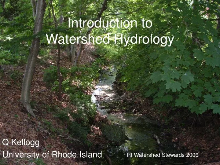
Introduction to Watershed Hydrology. Q Kellogg University of Rhode Island. RI Watershed Stewards 2006. Watershed = Catchment = Basin. The area of land that drains water, sediment and dissolved materials to a common outlet . Watersheds are separated by divides

E N D
Introduction to Watershed Hydrology Q Kellogg University of Rhode Island RI Watershed Stewards 2006
Watershed = Catchment = Basin • The area of land that drains water, sediment and dissolved materials to a common outlet. • Watersheds are separated by divides • Can be any size, from a few acres to hundreds of square miles • Sub-watershed = watershed within a watershed
Stream Order • Smallest tributaries are 1st order • Two 1st orders join to form 2nd order • Two 2nd orders join to form 3rd order, etc.
What happens downstream? Gulf of Mexico “dead zone” NOAA
Hydrologic Cycle URI Healthy Landscapes Program
Hydrograph River discharge vs. time
55% Development Impactson the Water Cycle 40% 30% 10% 15% 50% • Developed • High runoff, Low recharge • - Nuisance flooding • - Lower water tables • Low stream flow Natural Landscape • Low runoff • High recharge • Healthy summer stream flow • Natural pollutant treatment
Hydrograph pattern is the result of: Watershed characteristics soils infiltration rates land use impervious surfaces, vegetation, wetlands slope, shape Climate humid vs. arid previous rainfall Storm characteristics intensity, duration
Stable channels, excellent habitat structure, good to excellent water quality, diverse communities of fish and aquatic insects Clear signs of degradation due to urbanization. Erosion and channel widening, unstable banks, fair to good water quality, declining stream biodiversity Essentially conduits for stormflow, no longer able to support diverse stream communities, unstable stream channel, severe erosion
Pollution Sources Point Sources Pipe outlets for wastewater treatment plants and industrial plants Now encompasses sources that can be identified, isolated and treated at a discharge point Cleanwateract.org
Contributions from the landscape, agriculture, urban stormwater runoff Non Point Sources
Types of Pollutants • Nutrients • Pathogens • Sediment • Organic Chemicals • Heavy Metals
NUTRIENTS Nitrogen (N) and Phosphorus (P) Sources: Septic systems Fertilizers Livestock or fish processing wastes Concern levels: Drinking water… N = 5 to 10 mg/L Eutrophication….freshwater P < 25 ug/L ….brackish water N < ?? Often used as a surrogate for a range of pollutants N in the form of nitrate (NO3) is soluble groundwater contaminant P is sediment-bound surface water contaminant
PATHOGENS Viruses, Bacteria Fecal coliform is used to indicate presence of pathogens …may not be reliable Sources: Human and animal waste Concern levels: Drinking water, shellfishing waters, swimming Fecal coliform is not a health risk in itself, but is used as an indicator because it only comes from human and animal waste May be filtered or destroyed in unsaturated soil, may travel considerable distances in ground water or surface water
SEDIMENT Mineral and organic soil Sources: Construction (30 to 70 times greater than vegetated areas), crop erosion, direct application (e.g., sanding in winter) Concern levels: Not specified but carries other pollutants bound to sediment Direct effects: Turbidity, temperature changes, loss of spawning habitat
ORGANIC CHEMICALS Hydrocarbons, pesticides, industrial solvents (benzene, dioxin, TCE) Sources: Leaking underground storage tanks (LUST’s), agriculture, direct discharge Concern levels: parts per billion (ppb) or parts per trillion (ppt) Transport: Sediment bound or soluble, may float or sink
HEAVY METALS Arsenic Lead Mercury Chromium Cadmium Sources: Industrial, leaded gas and lead pipes, autos, landfills Concern levels: Usually ppb Many have drinking water standards Transport: Usually sediment-bound, higher mobility in acidic waters, soils have finite adsorption capacity
Clean Water Act Federal Water Pollution Control Act Amendments of 1972 Amended in 1977 Clean Water Act Goal: Restore and maintain the chemical, physical, and biological integrity of the Nation’s waters. Regulates discharge of pollutants into U.S. waters Requires States to set water quality standards for their waters Initially, focus was on point source pollution, especially wastewater treatment plants
WATER QUALITY STANDARDS Defines the goals and limits for all waters within a State’s jurisdiction making the goals defined in the WQA concrete • Steps: • Designate uses (e.g., drinking, fishing, swimming) • Establish water quality criteria • Develop and implement antidegradation policies and procedures
Topographic Map Reading The Gold Standard USGS 7.5 min. Quad 1:24000 scale One square mile Covers 7.5 minutes of latitude & longitude At the latitude of RI (41º N), this translates to: 8.62 miles N / S 6.24 miles E / W
Metadata Map title Adjoining maps Locator Map Dates
Metadata North arrow – true & magnetic Date of topography Revisions shown in purple
Metadata Scale Map Accuracy Standards reference to symbology Contour interval
Terrain Representation Contour line – a continuous line that connects points of equal elevation.
Terrain Representation Rules & Concepts • Hilltops are indicated by progressively smaller, closed contours. • Every fifth contour line is an index contour and is usually labeled. • Contours close together indicate a steep slope. • Contours far apart indicate a gentle slope. • Contour lines never cross each other.
Terrain Representation Rules & Concepts • A spot elevation is a point with a known elevation. • When contour lines cross a stream, they form a “V” that always points uphill. • A saddle is an area, often on a ridge, between two areas of higher elevation. There is high ground in two opposite directions and lower ground in the other two directions. • Depressions are indicated by closed contours with inward-pointing ticks.
Terrain Representation Rules & Concepts • Contour lines never cross each other. • Every fifth contour line is an index contour and is usually labeled. • Contours close together indicate a steep slope. • Contours far apart indicate a gentle slope. • Hilltops are indicated by progressively smaller, closed contours. • Depressions are indicated by closed contours with inward-pointing ticks. • A spot elevation is a point with a known elevation. • A saddle is an area, often on a ridge, between two areas of higher • elevation. There is high ground in two opposite directions and lower • ground in the other two directions. • When contour lines cross a stream, they form a “V” that always points uphill. • As a general rule, water flows downhill perpendicular to contour lines.
Watershed Delineation Example x Sherman Brook Watershed • Identify the watershed outlet. Mark with . • Highlight Sherman Brook & other nearby watercourses. • Try to visualize direction of flow and look for ridge lines & saddles. Mark high points with x. • If needed, draw arrows to indicate direction of surface flow. • Trace outline of watershed beginning at outlet, connecting high points. Cross contours at right angles. Form a closed and continuous boundary. x x x x x x Note town boundaries - Sherman Brook Watershed is in two municipalities