Download
1 / 12
120 likes | 324 Vues
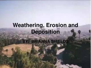
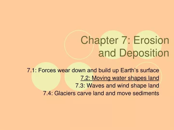
Chapter 7: Erosion and Deposition. 7.1 : Forces wear down and build up Earth’s surface 7.2 : Moving water shapes land 7.3 : Waves and wind shape land 7.4 : Glaciers carve land and move sediments. 7 .2 Moving water shapes land. Before, you learned:

E N D
Chapter 7: Erosion and Deposition 7.1: Forces wear down and build up Earth’s surface 7.2: Moving water shapes land 7.3: Waves and wind shape land 7.4: Glaciers carve land and move sediments
7.2 Moving water shapes land • Before, you learned: • Erosion is the movement of rock and soil • Gravity causes mass movements of rock and soil • Now, you will learn: • How moving water shapes Earth’s surface • How water moving under ground forms caves and other features
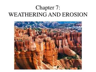
Streams shape Earth’s surface • Think about a river: • Surrounding land is higher than the river • Steep valley: see the river is the low point • Even in very flat places, land is sloping down to the river, which is running downhill through the land • Water running downhill changes the land: • Shapes landforms by moving sediment in the processes of erosion and deposition • Water can carve out new features underground
Drainage Basins and Divides • Where does water go when it rains or ice melts on a slope? • Soaks in the ground • flows down the slope in thin sheets • Becomes part of a channel that forms a stream • Stream: any body of water that flows down a slope along a channel • Streams flow into one another to form complex drainage systems • Small flow into larger • Drainage Basin: area of land in which water drains into a stream system • Water usually eventually drains into a lake or ocean
Drainage Basins and Divides • Drainage basins are separated by ridges called divides • A ridge from which water drains to one side or the other • Can be along a mountain, or simply the highest line of land • Are boarders of drainage basins
The Continental Divide • Runs from Alaska to Mexico • Most water that falls west: drains to the Pacific Ocean • Most water that falls east: drains into the Gulf of Mexico or the Atlantic Ocean
Valleys and Floodplains • As streams flow and carry away sediment, they form valleys • In high mountains they often cut V-shaped valleys that are narrow and steepwalled • In low areas, they may form broad valleys that include floodplains • An area of land on either side of a stream that is underwater when the stream floods • Can make the land very fertile when it deposits sediments
Stream Channels • Meanders: twisting and looping pattern in a stream channel • Erodes the outside banks and deposits sediment along the inside banks • A flood can cause a new channel to form, cutting off the meander into a crescent-shaped lake: oxbow lake
Alluvial Fans and Deltas • Streams also create landforms called alluvial fans and deltas, formed by deposition of sediment • Alluvial fan: fan-shaped deposit of sediment at the base of a mountain • Forms where a stream leaves a steep valley and enters a flatter plain • Stream slows down and spreads out, depositing sediment • Delta: area of land formed by the buildup of sediment at the end, or mouth, of a river • When the river enters the ocean, it slows, depositing sediment • Sediment gradually builds up to form a plain
Water moving underground forms caverns • Some rainwater runs into surface streams, some evaporates, some is absorbed by plants…and some soaks into the ground and becomes groundwater • Deep below, spaces in soil and rock become completely filled with water • The top of this region is called the “water table” • Below the water table is “groundwater” • Can change with rainfall
Groundwater • Can cause erosion deep below where it slowly flows through underground beds of rock and soil • Rainwater is slightly acidic and can dissolve certain rocks, such as limestone • The groundwater can dissolve some of the limestone and carry it away • Can form caves • Large caves = caverns • If the water table drops, the cavern can be filled with air • Cavern System of passageways, containing lakes and streams • Sinkhole: a basin that forms when the roof of a cave becomes so thin that it suddenly falls in • Possibly because water that supported the roof drained away
http://www.pbs.org/wnet/nature/lessons/breaking-it-down/video-segments-violent-hawaii/1702/ - hawaii • http://www.youtube.com/watch?v=IR6evrt7els - bill nye • http://dsc.discovery.com/videos/planet-earth-caves-limestone-erosion.html • http://dsc.discovery.com/videos/earth-live-rain-and-floods/ • http://www.cbsnews.com/video/watch/?id=3440105n